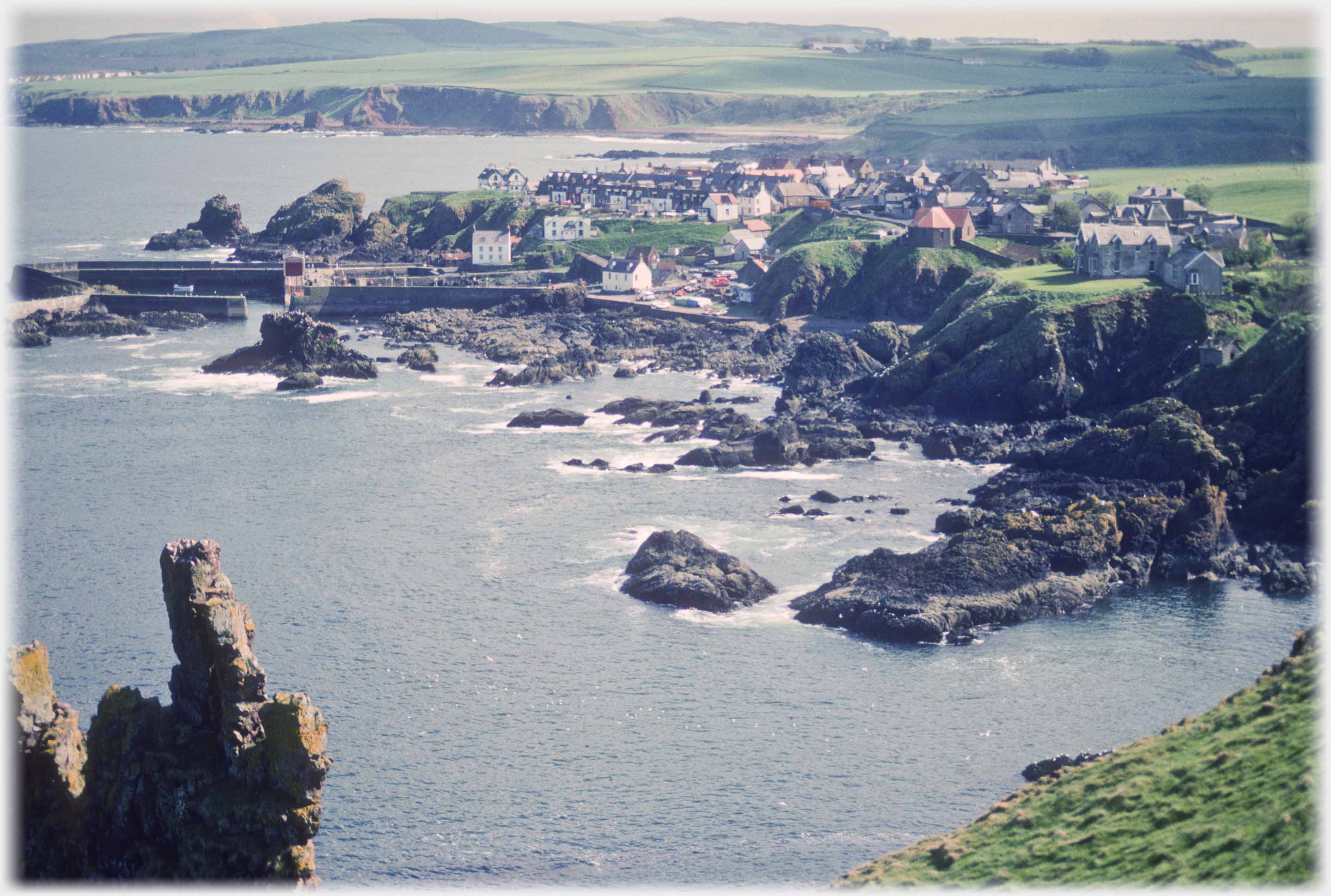
 Looking down from the path to St. Abb's Head on the village of St Abbs
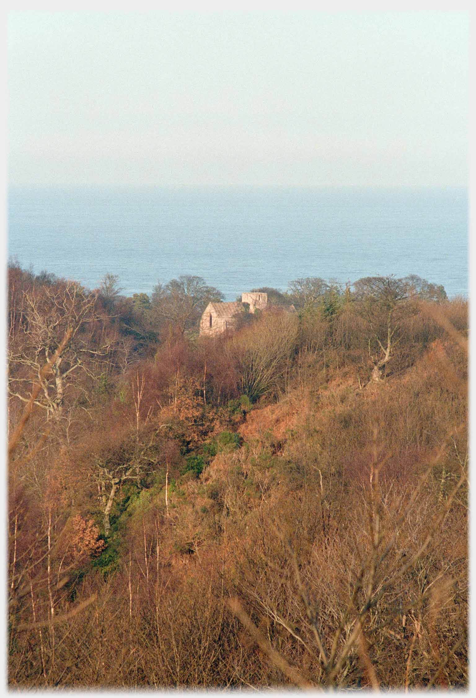 The remains of the Dunglass Collegiate Church - a deceptive shot avoiding the surrounding intrusions
The section of Picture Posting (before that latest excursion to Vietnam and Route 32) finished with photographs from the town of Berwick, and there, the
strong patterns
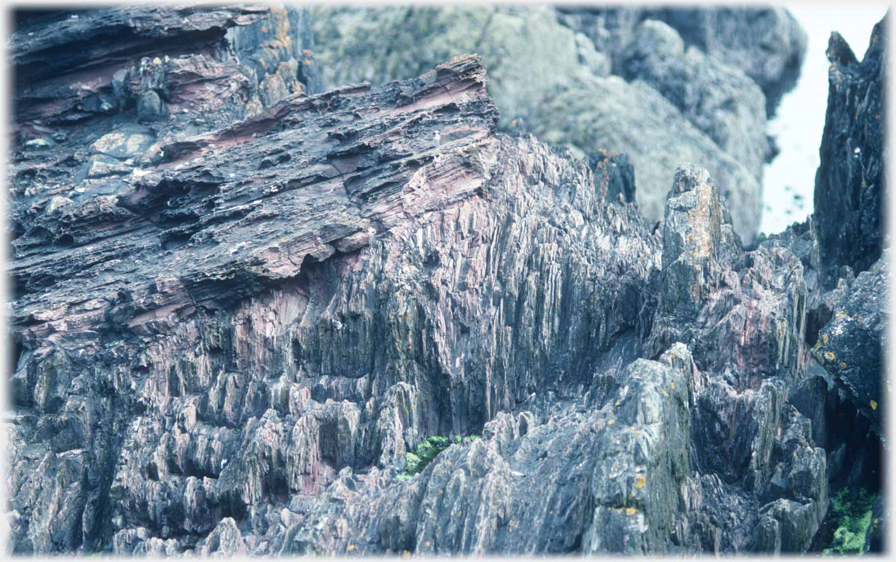
in the local shore rocks. Coming north a few miles this page takes up that interest in the geology of the area. Siccar Point is north west of St Abb's village and south east of Cockburnspath. This was the happy hunting ground of James Hutton from Edinburgh, often viewed as the founder of modern geology who in the later 1700s sort an explanation of how the strange rock formation of the Berwickshire Coast could be accounted for. This page shows some of these rocks - for their aesthetic patterning rather than geological classification. The lower half of the page continues to Dunbar, and the kittiwake colony on the castle at the harbour. But first a nod to the delightful small Dunglass valley - a little overshadowed by roads and the railway.
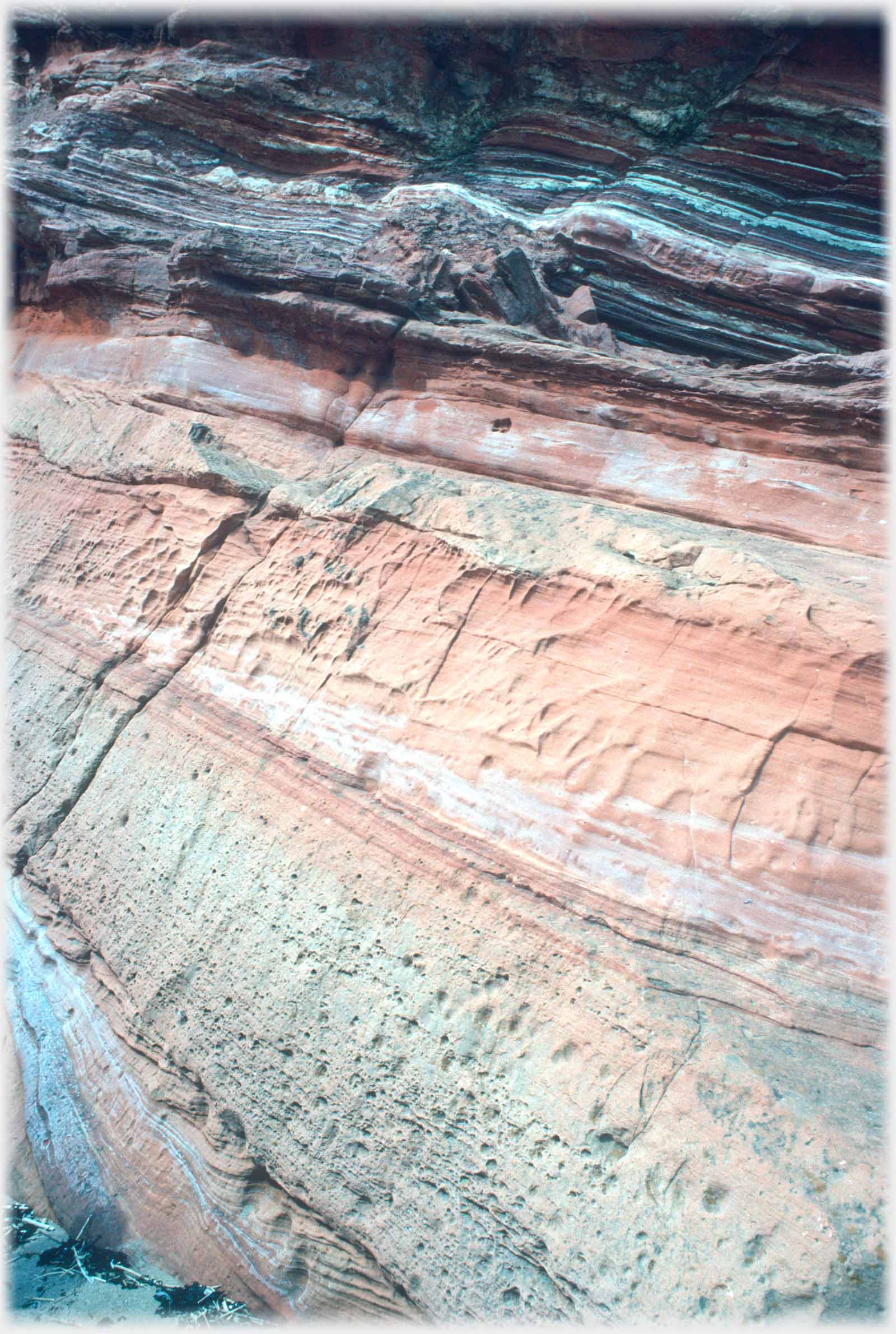 A close view of the rocks on the headland, which is shown below (left), stressing their aesthetic appeal
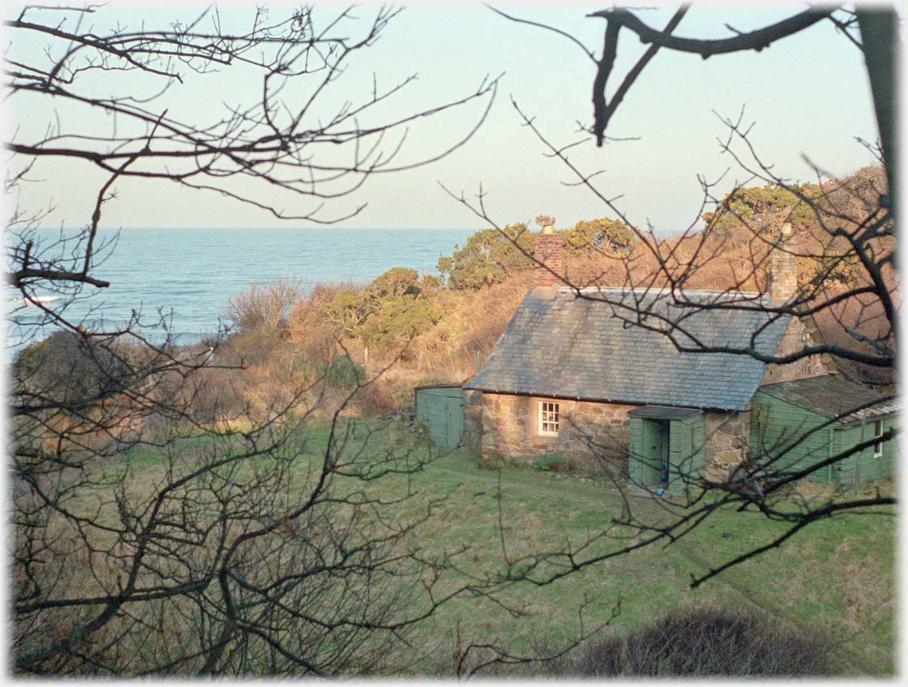 Dunglass Estate lies in a wooded defile half way between Eyemouth and Dunbar. This is the mill as it was 35 years ago
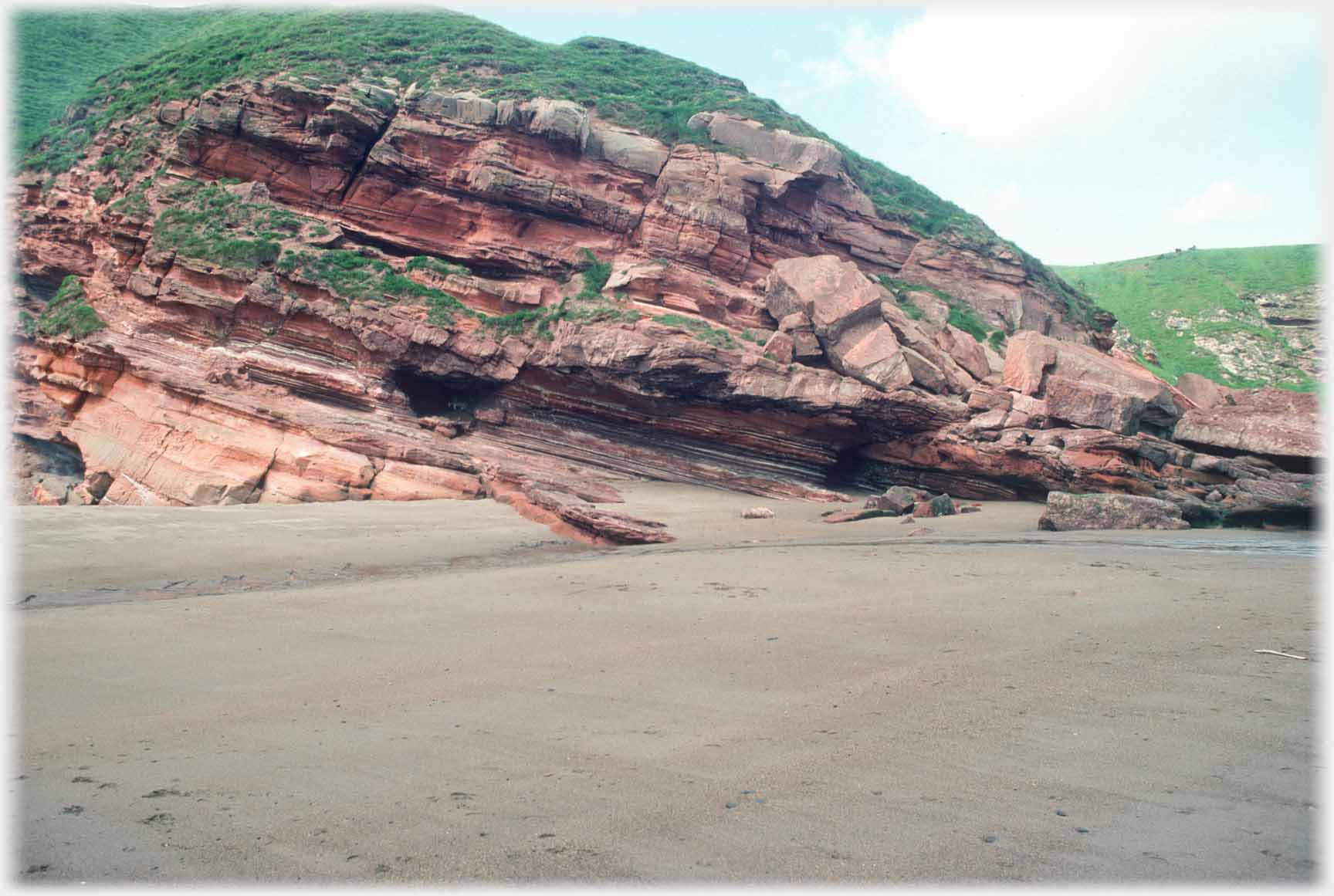 Layered red-sandstone rocks running down onto the shore on the north side of Siccar Point
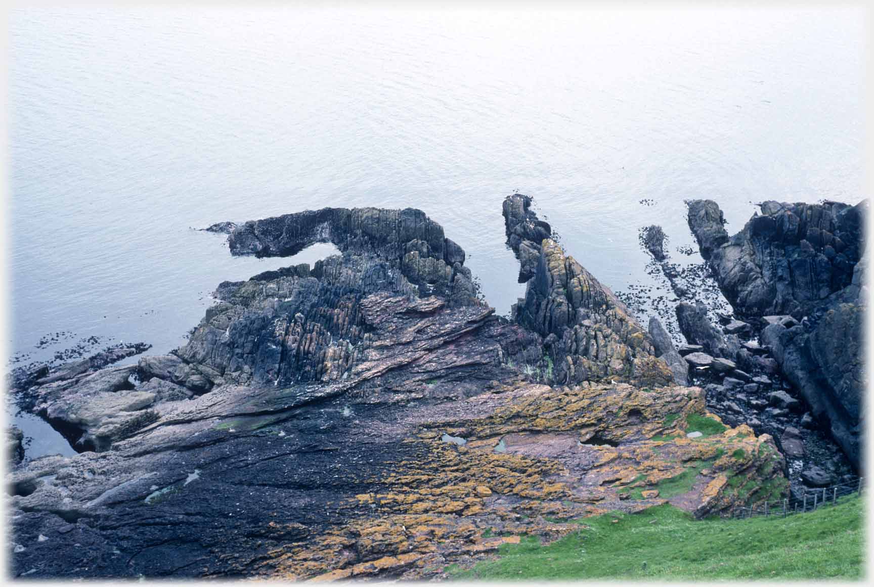 Siccar Point itself where the disorganised lines of the rocks helped Hutton develop his groundbreaking theories
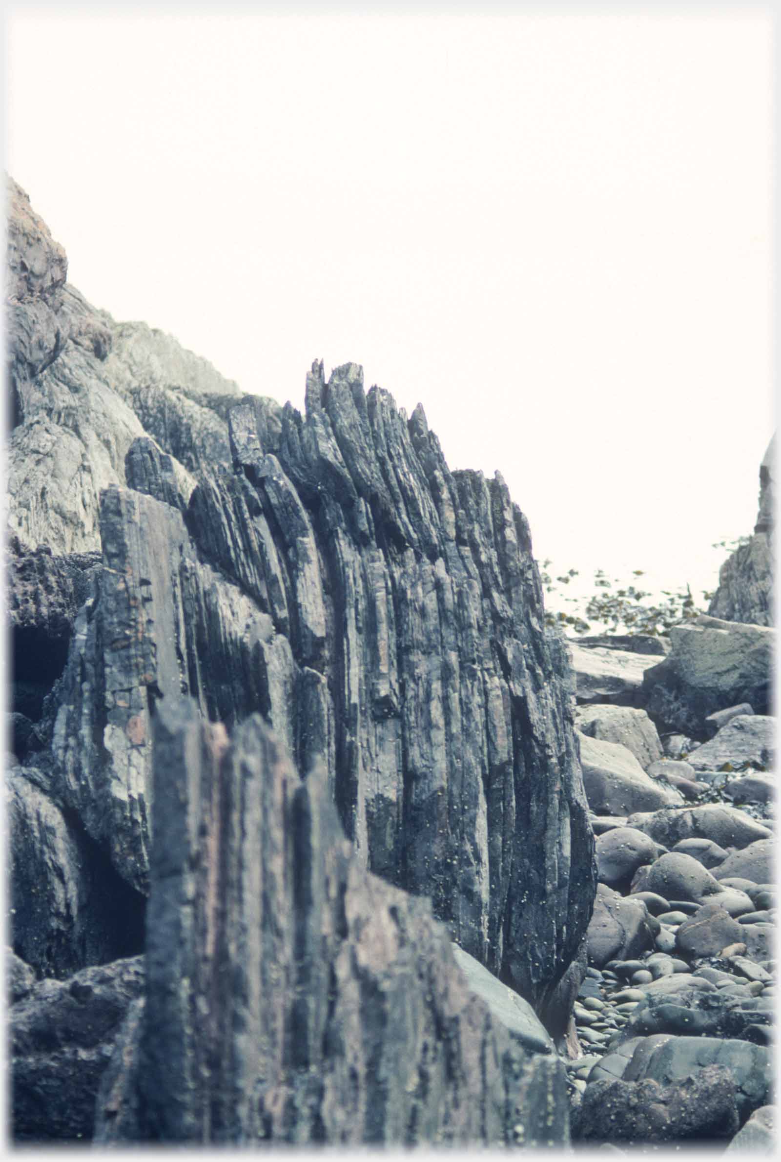
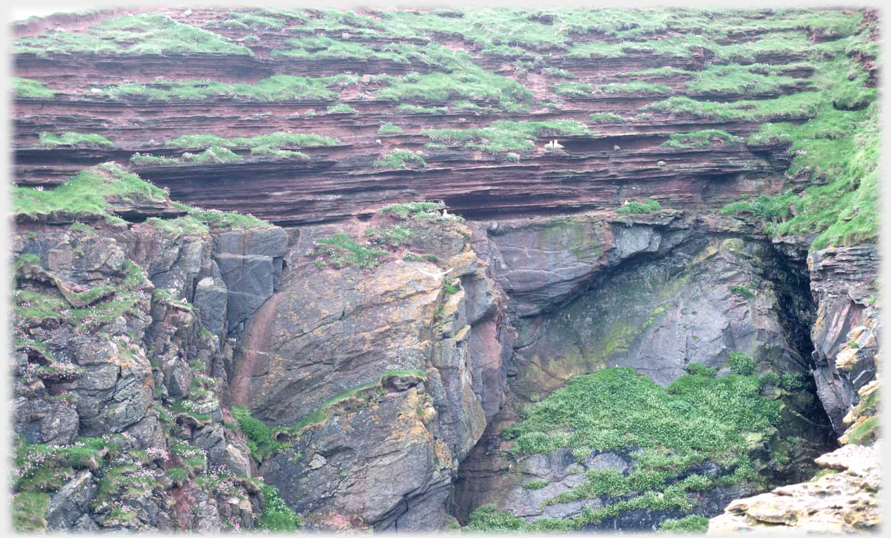 More details of those jumbled rocks seen above
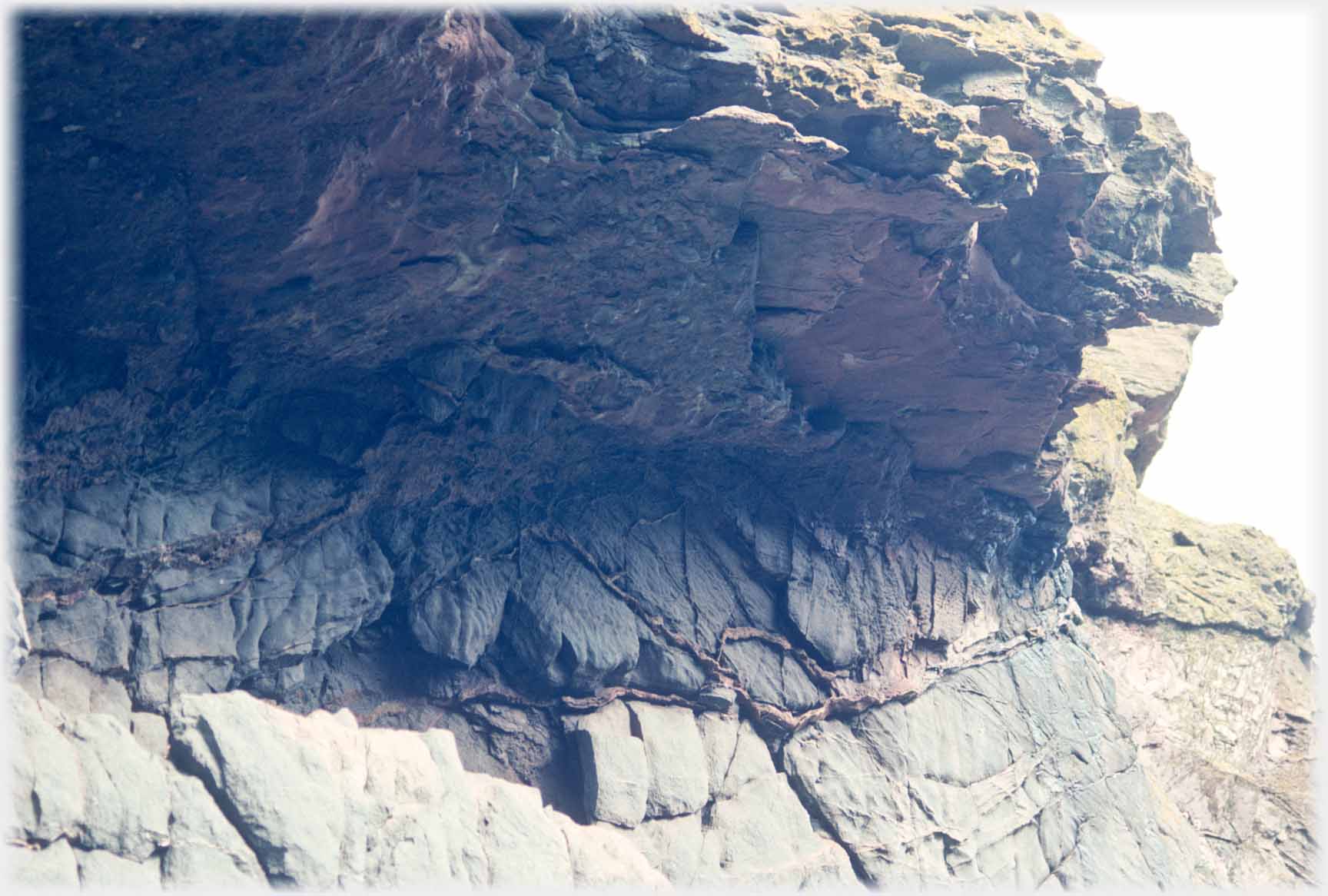 And here an example of where magma has squeezed itself between the layers of rock
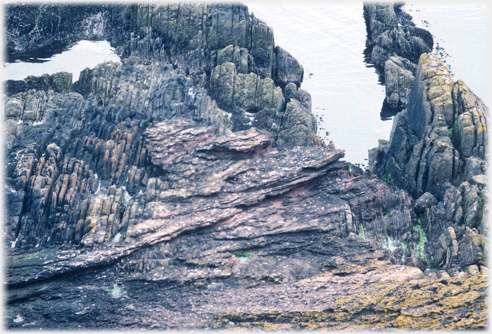 The lines of rock seem to be scurrying
in contrary directions
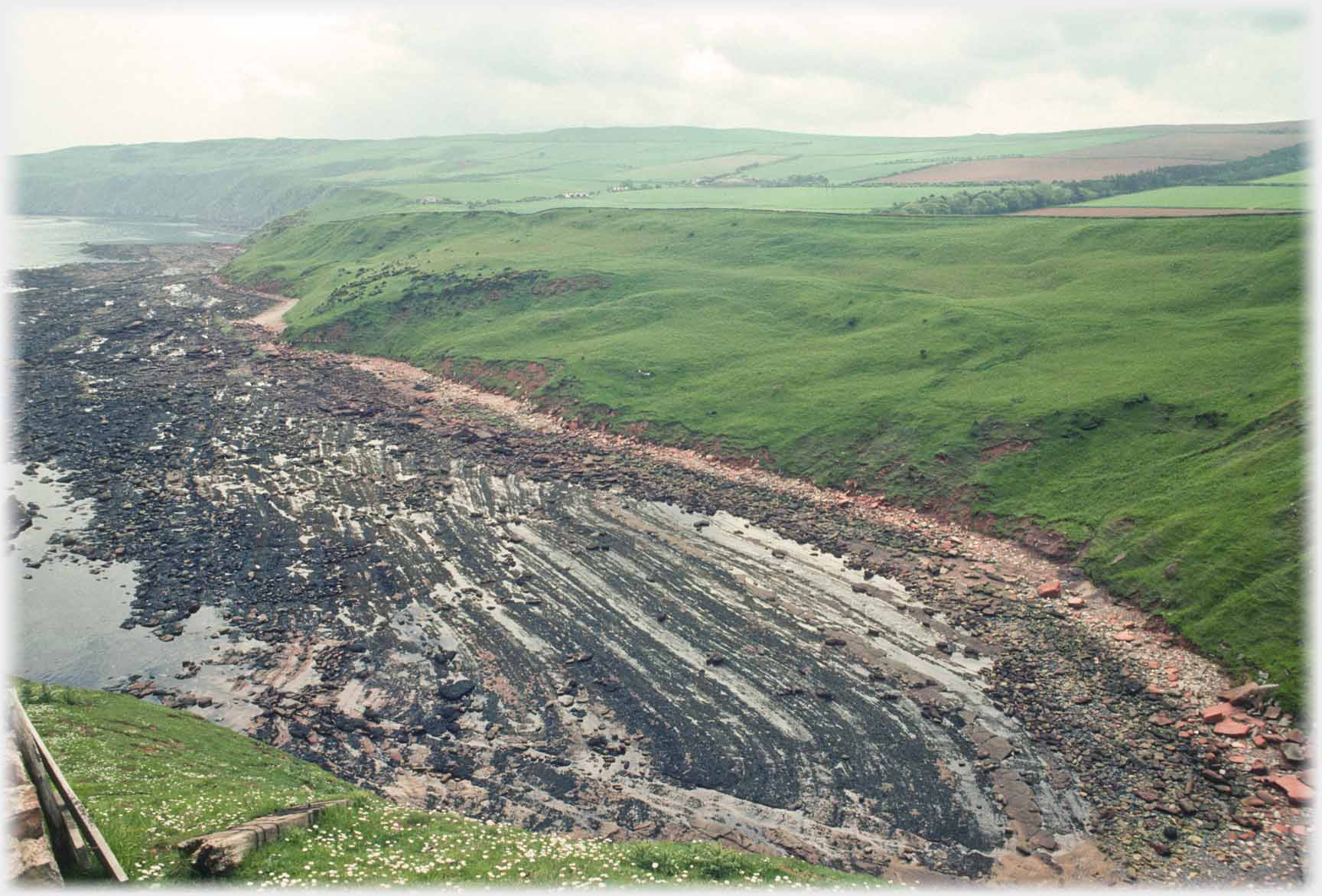 If we look along the coast from Siccar Point, to the south lie these dark Silurian rocks while...
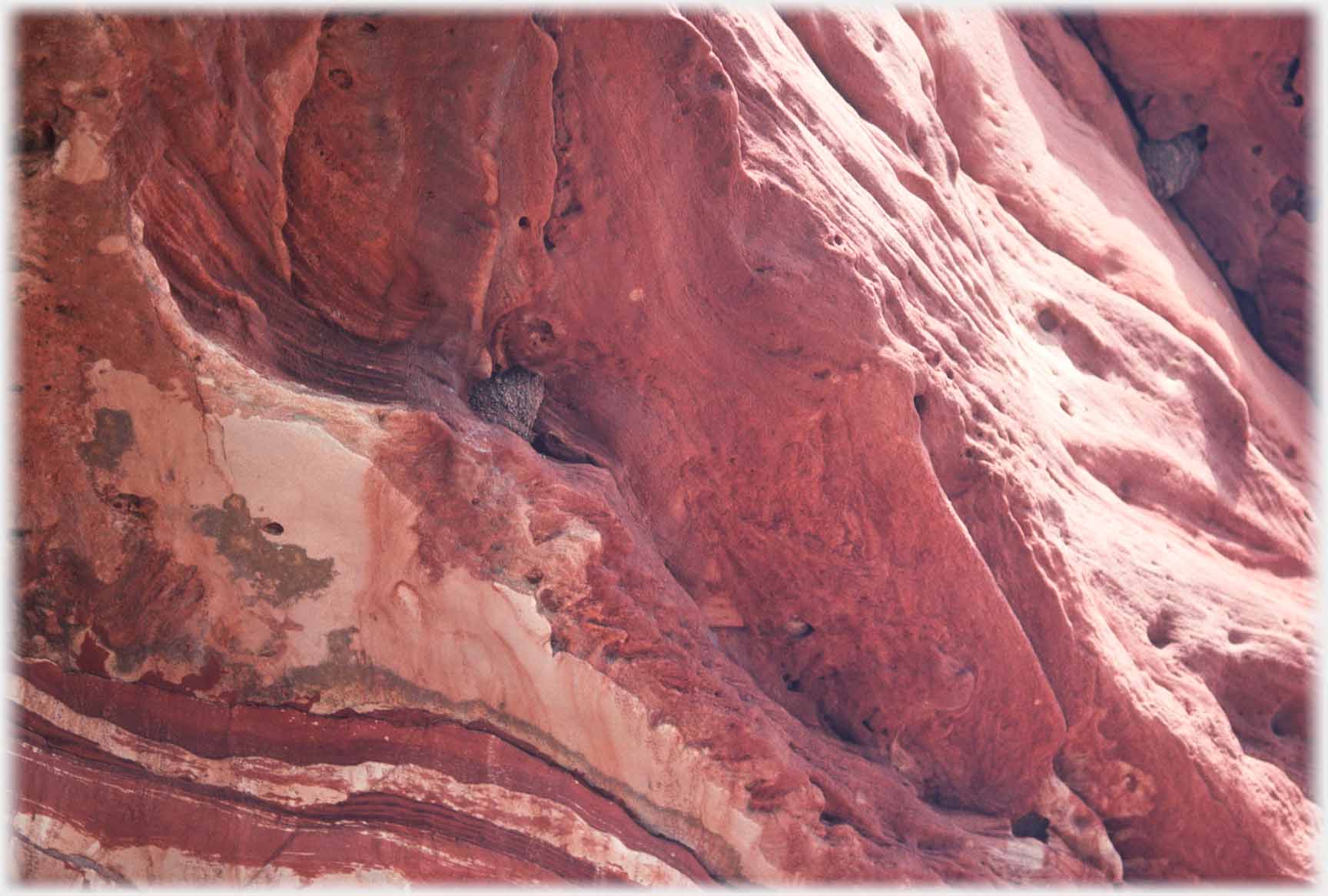 ...in contrast to the north are rich red sandstones - here an overhang is offering a martin's nest protection
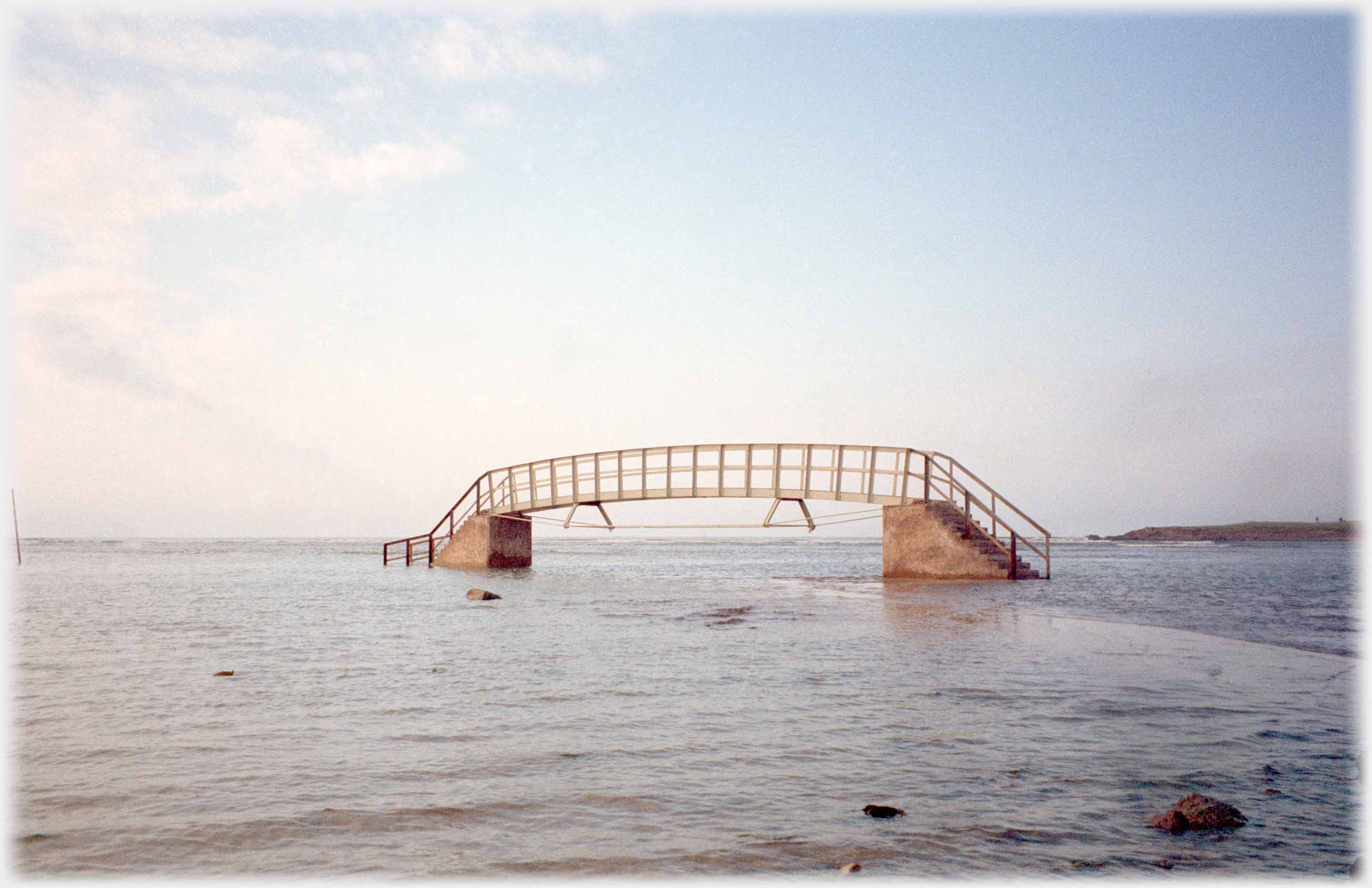 Following the the direction of the sandstones, the visitor comes to Dunbar. And to the birthplace of the ecologist John Muir. He lived in the town from his birth in 1838 till the family left for Wisconsin in 1849. In memory of him a country park was opened along 8 miles (13 kms) of the coast stretching to the west from the outskirts of Dunbar, towards Edinburgh. The way through the park starts here on the west fringes of the town at the Belhaven Bridge - not always open to walkers! This photo of the
bridge has just made its appearance in the Mosaic section of this site, for a different reason -
go there
to see a link to John Muir
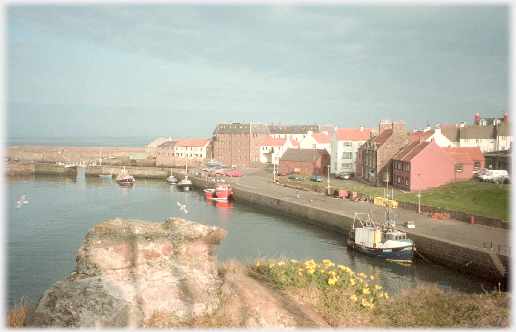 Dunbar harbour from the ruined castle, and...
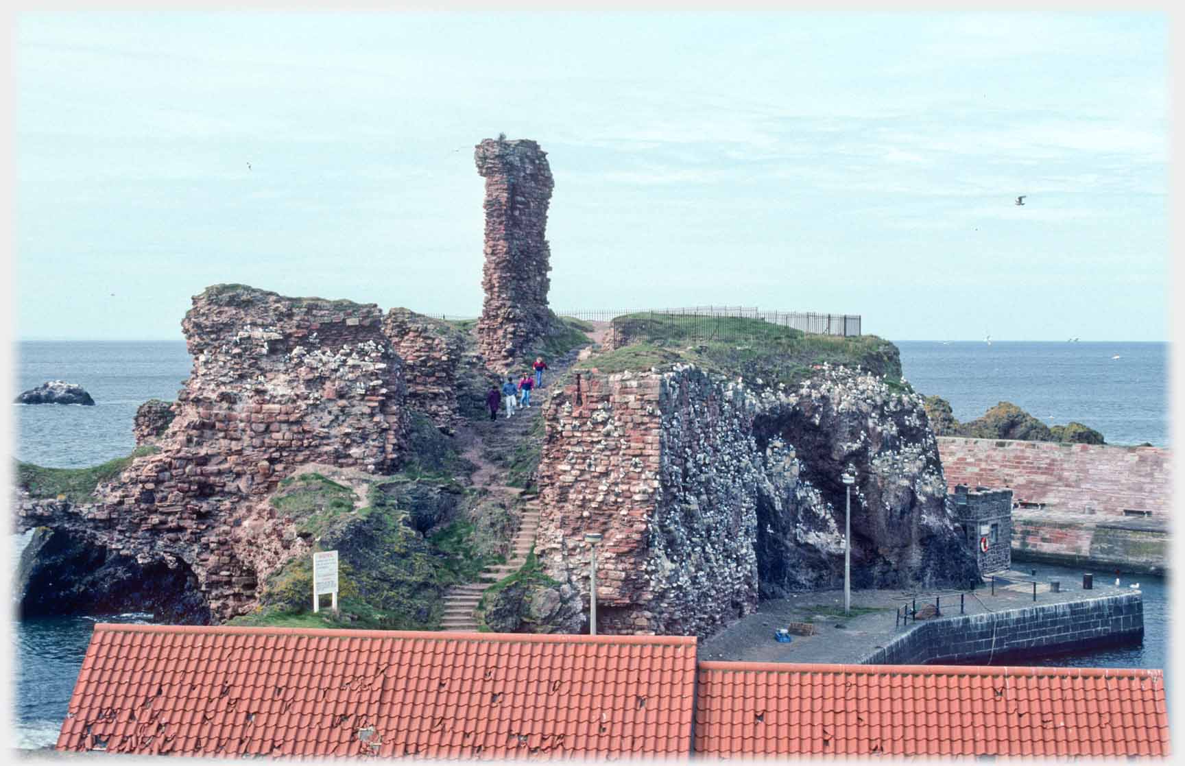 ...looking towards the castle over a holey roof
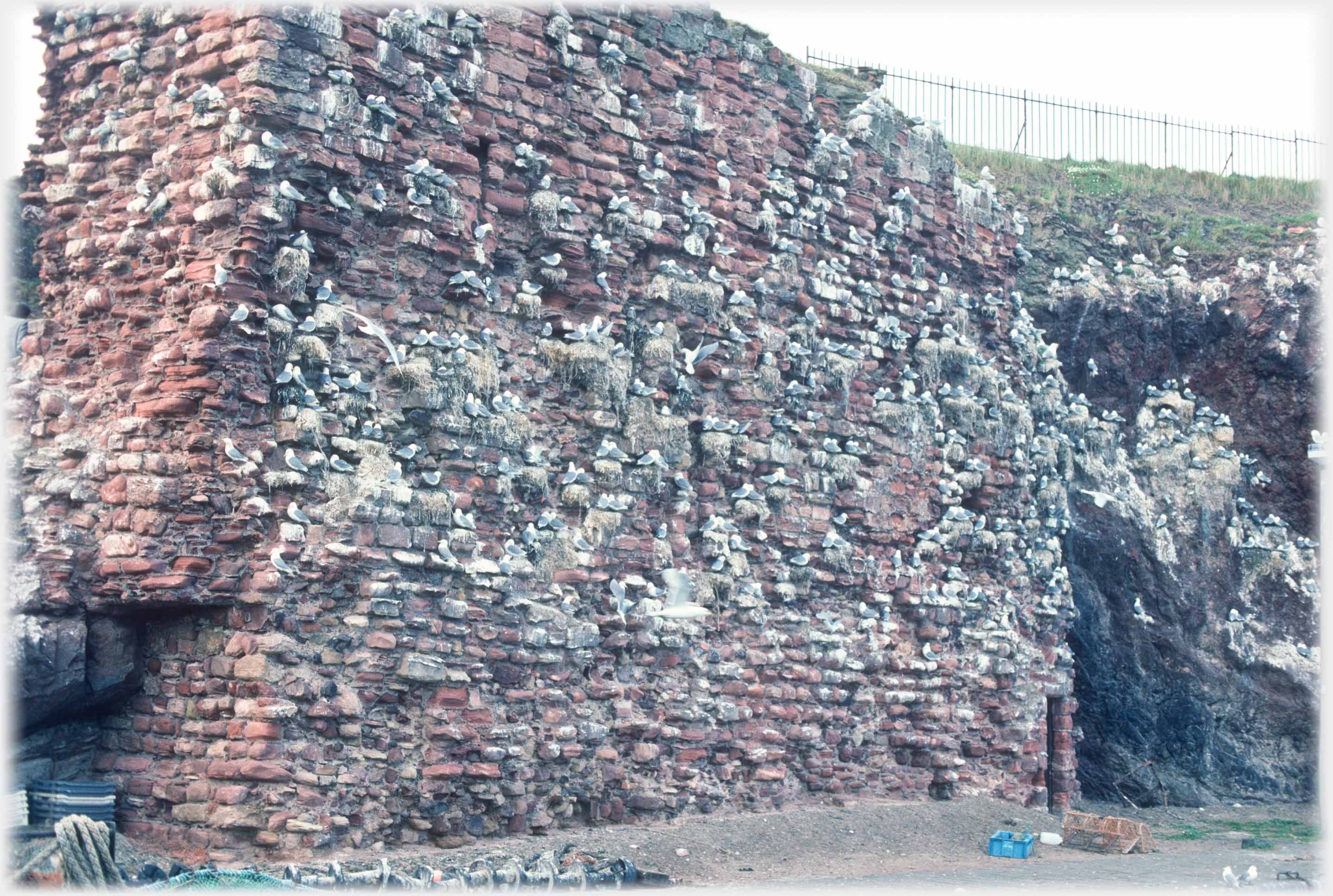 The main wall of the ruined castle houses an enthusiastic (as always) kittiwake colony
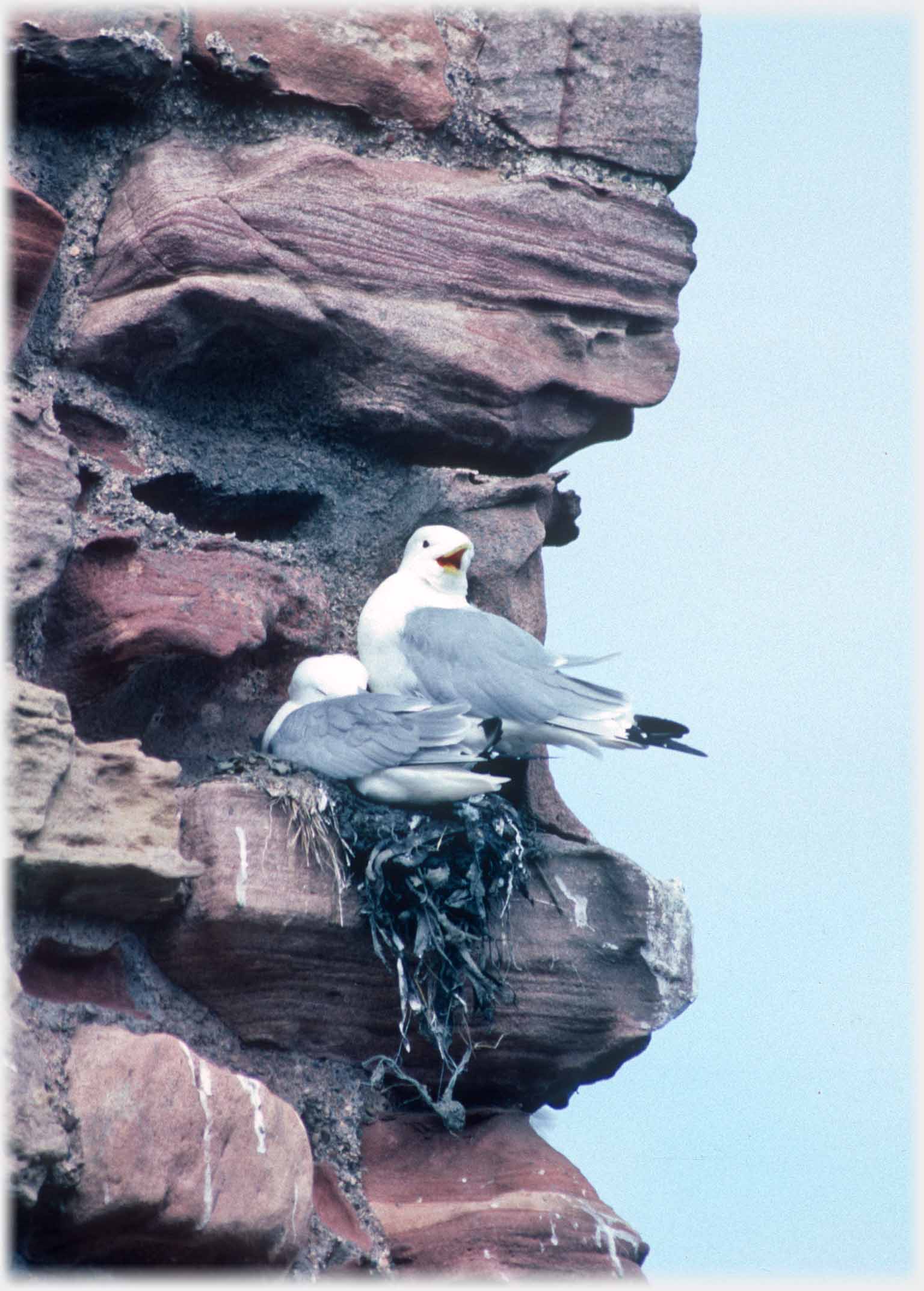
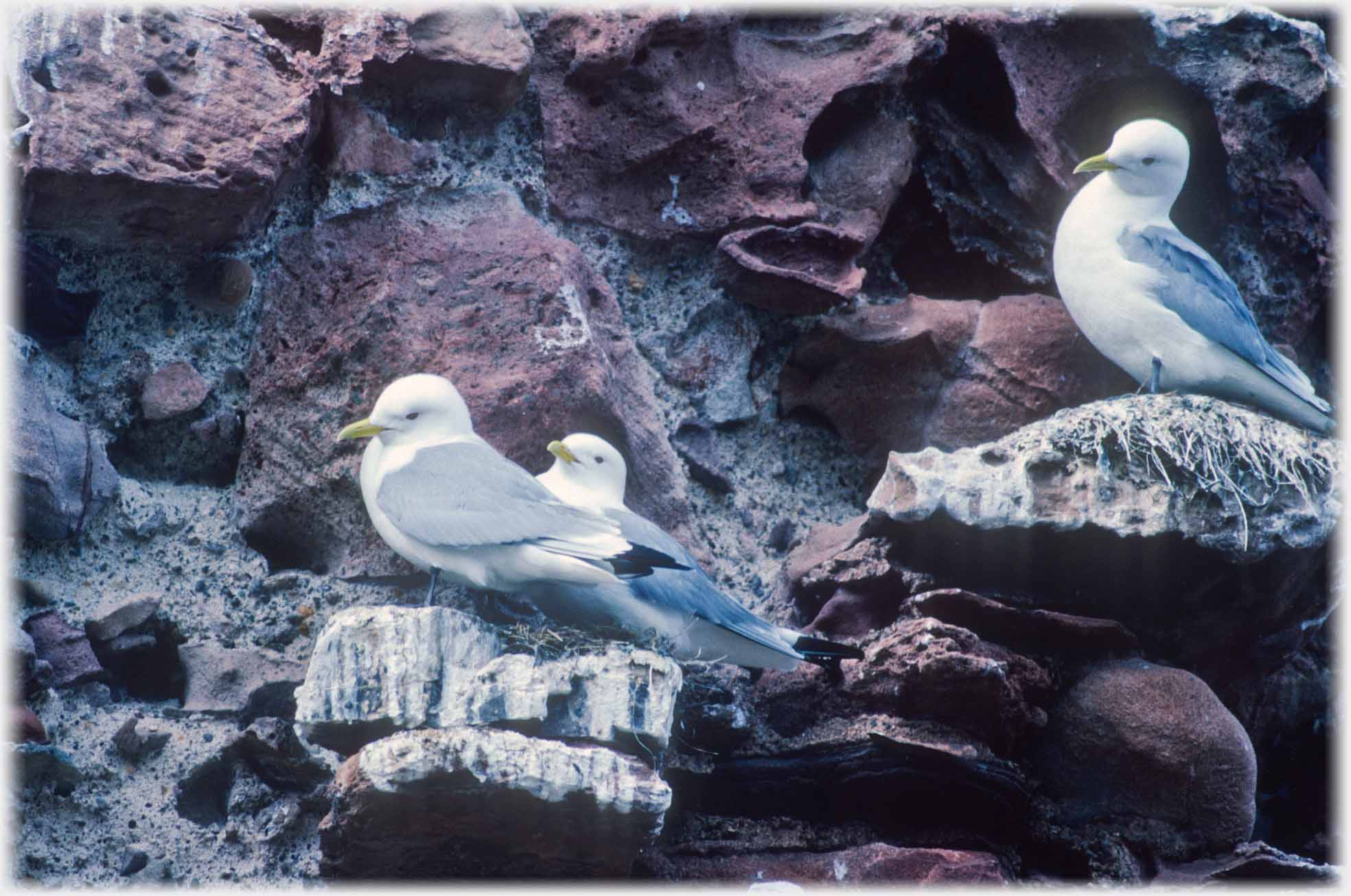 The kittiwake's head is the softest, whitest dome it is possible to imagine - beyond any reach of a camera
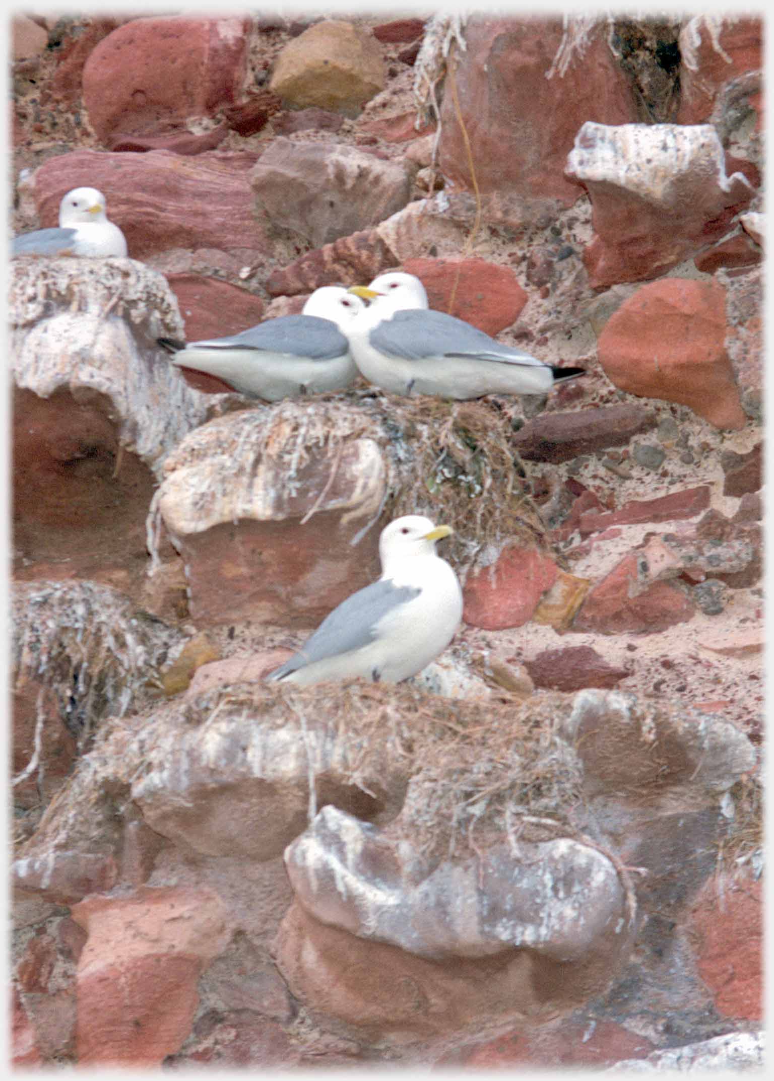
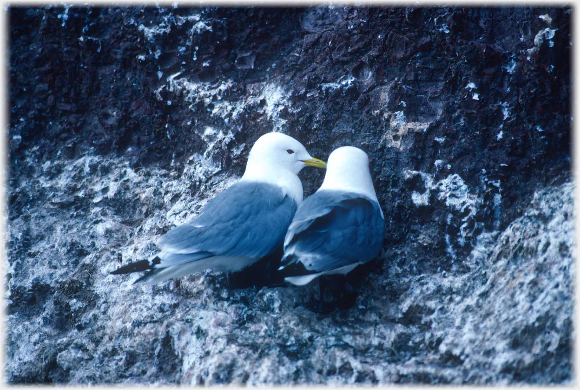
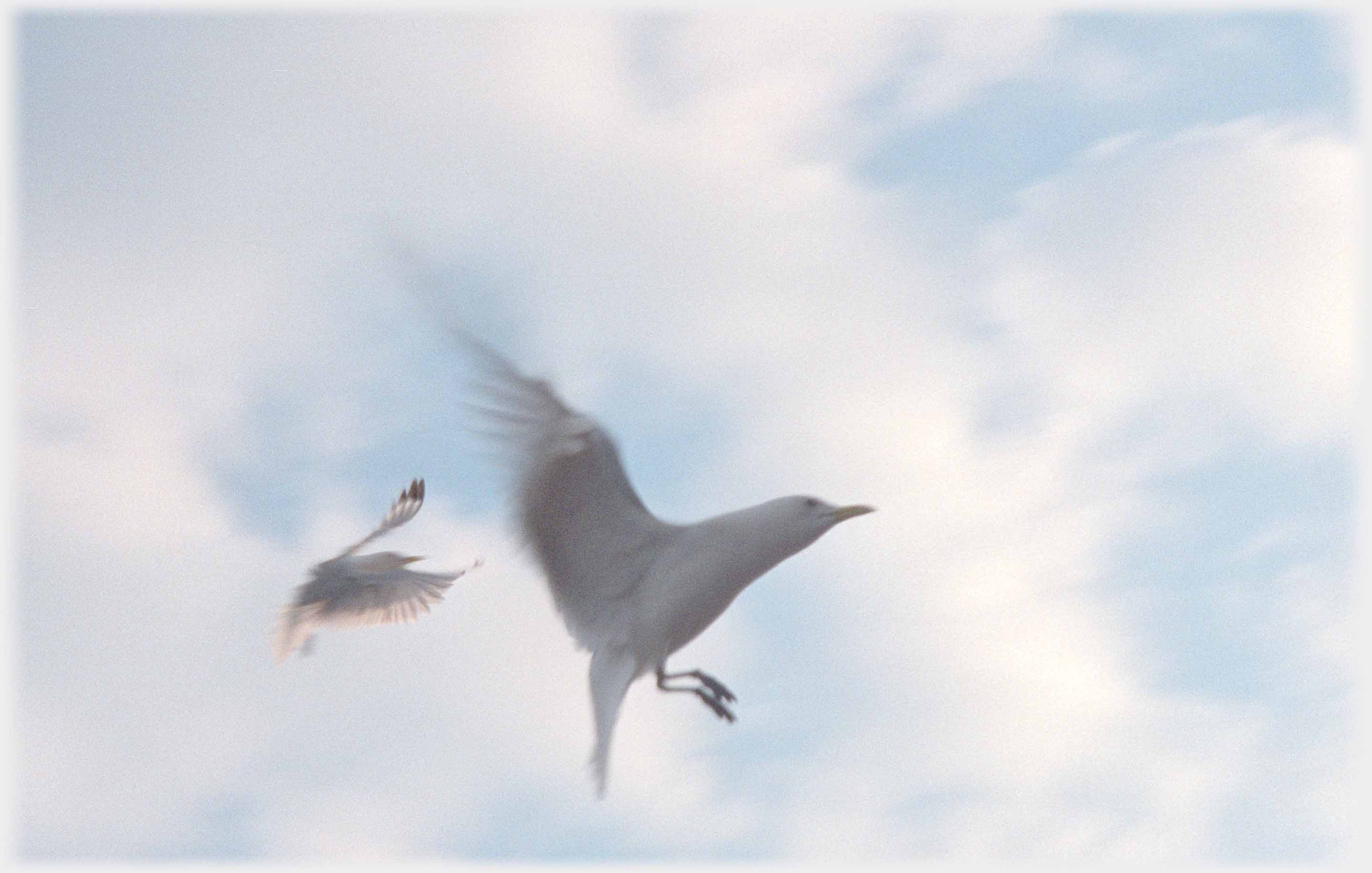 Higher shutter speeds catch the birds more abstract poses
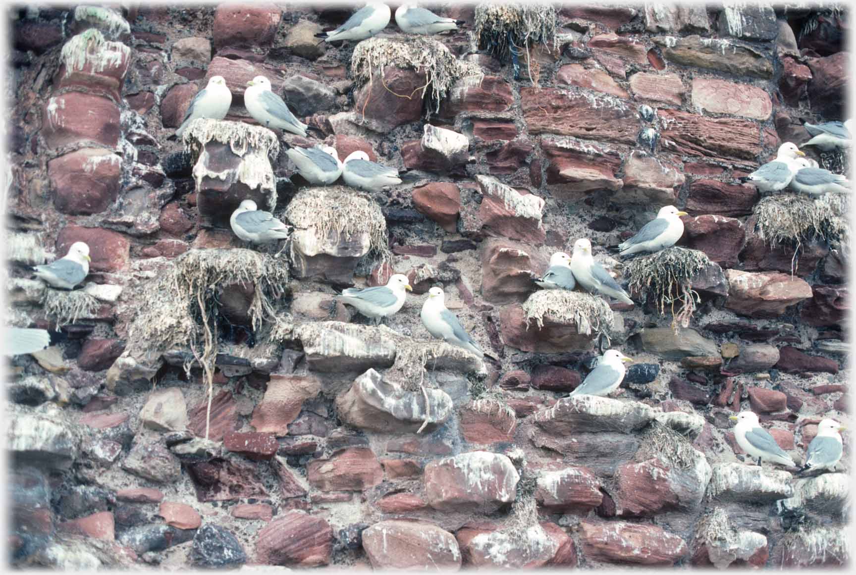 These worn sandstone ledges offer perfect nesting sites...
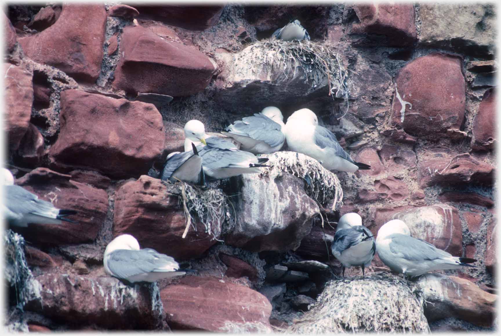 ...for their communal occupants. Above mostly asleep
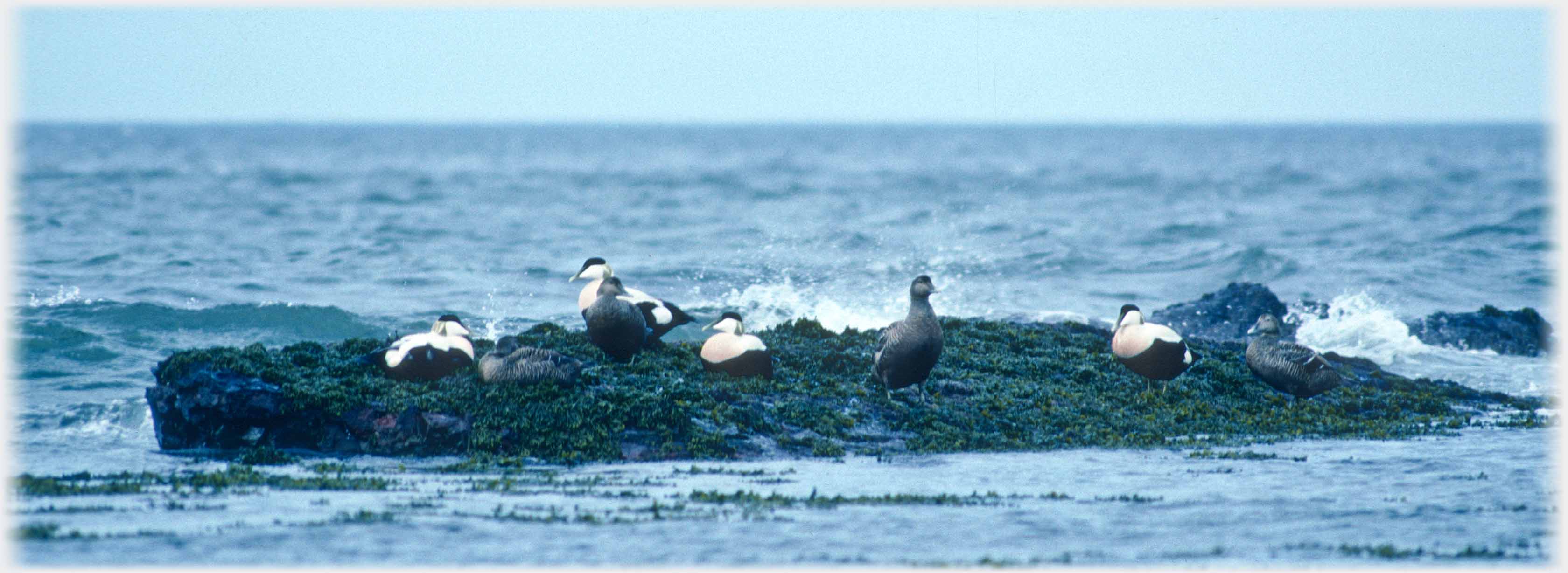 This part of the east coast also gives shelter for many birds besides kittiwakes, here, on a low reef just off the shore, a group of Eiders are displaying the fine markings of the male
with the soft pink glow on the breast
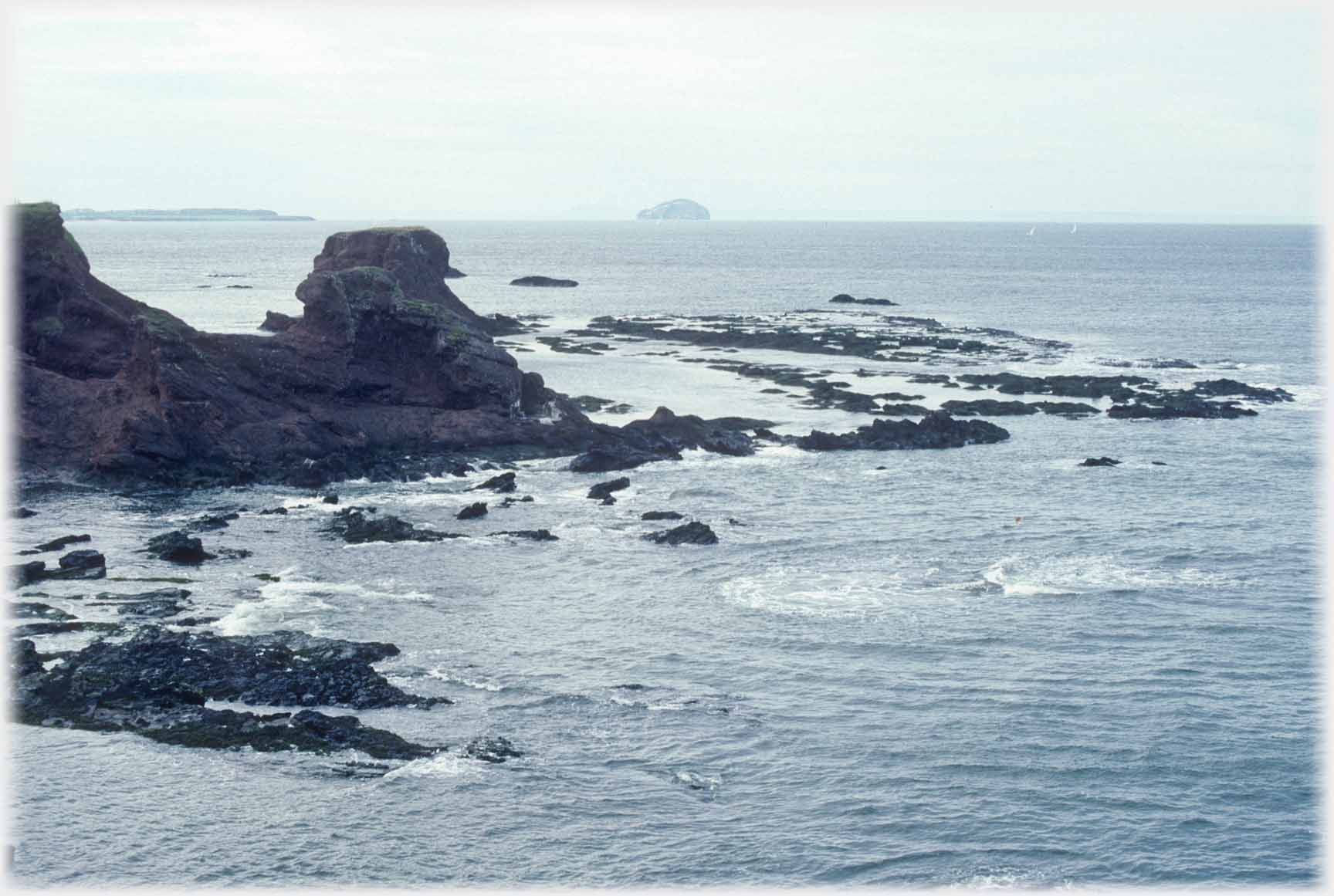 No birds here but the view on towards a very well inhabited island: the
Bass Rock
projects from the Firth of Forth
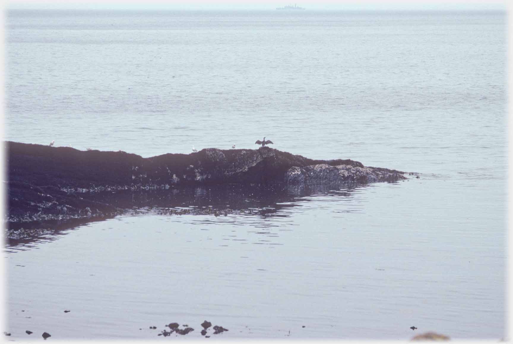 Cormorants
(although it may, as always, be a shag) drying their wings seem for ever to be about to say goodbye...
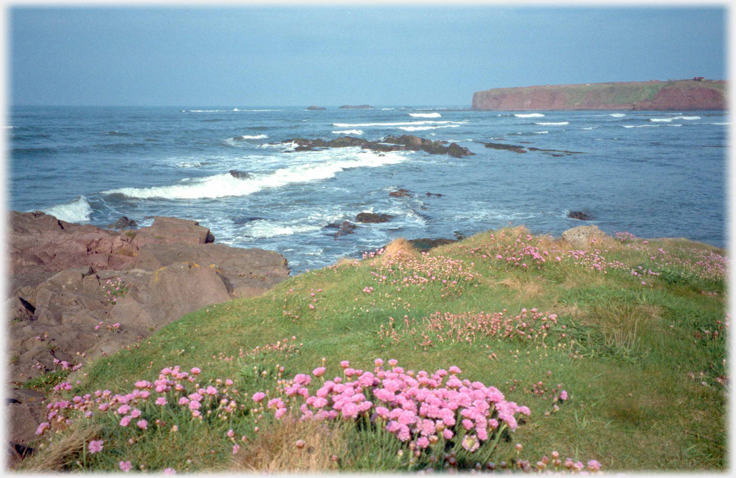 ...Leaving the scene of the Berwick Coast to be stolen by the
thrift
on the cliff tops
Trailers...
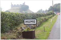 The next Picture Posting page
moves inland to the southern corner of Berwickshire and the territory of the Home (Hume) Clan.
 The next page
of the Mosaic Section is headed 'Commodification'.
Or go to the contents Go to the contents of the Mosaic Section. of the Mosaic Section.

 The last page of this Picture Posting section had photos of us travelling on Route 32 in Vietnam
 A page about gulls living on the edge of the sea with Iceland's black volcanic terrain
 ...guide to this site