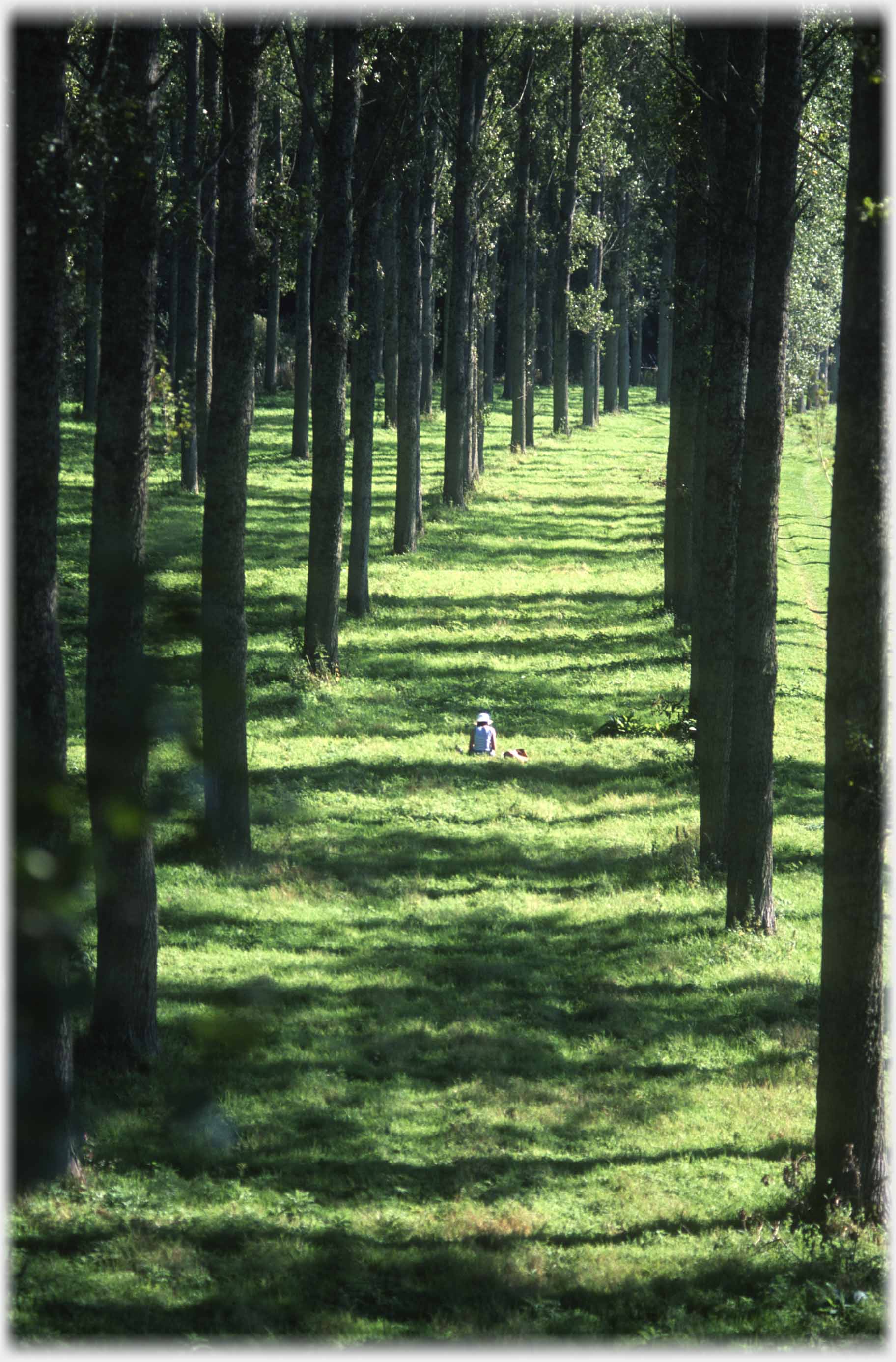
 The avenue of trees that line the east bank of the River Tweed at Mertoun Bridge
Continuing from the last page -
In Scott Country -
this page has photographs taken around two Tweed bridges that are close to Scott's View; the Mertoun bridge, two miles to the south, which carries the road from St Boswells to Kelso and runs along to the north of the River Tweed, and the Leader Railway Viaduct, a further mile west, which, until 1965, connected St Boswells to Earlston over the Tweed just beside the Leader-Tweed confluence. The photos below criss-cross the areas beside the two bridges, hoping the viewer can feel a little immersed in the gentle landscape, starting with the small woods, east of Mertoun Bridge, which caught this photographer's eye.
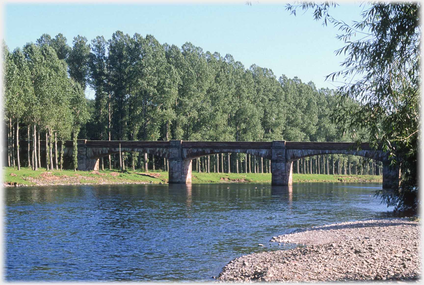 Looking upstream towards Mertoun Bridge...
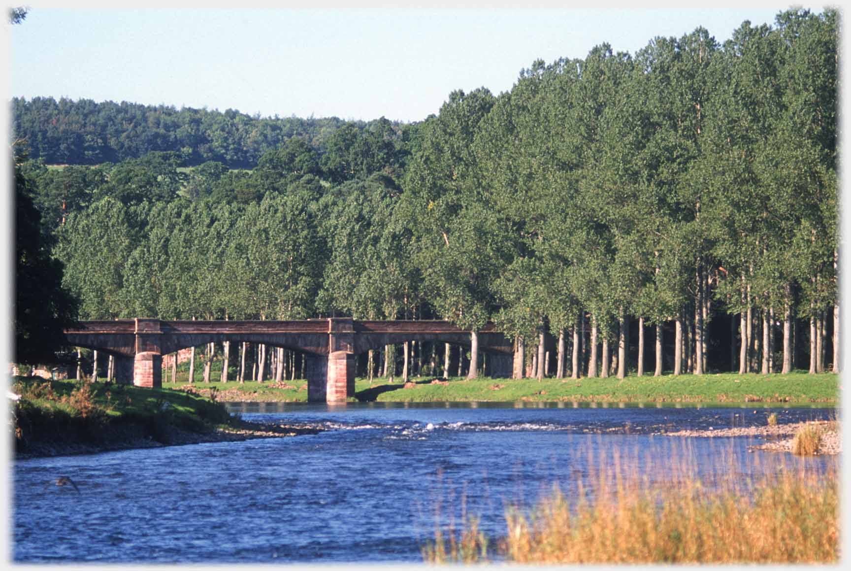 ...and looking downstream towards Mertoun Bridge
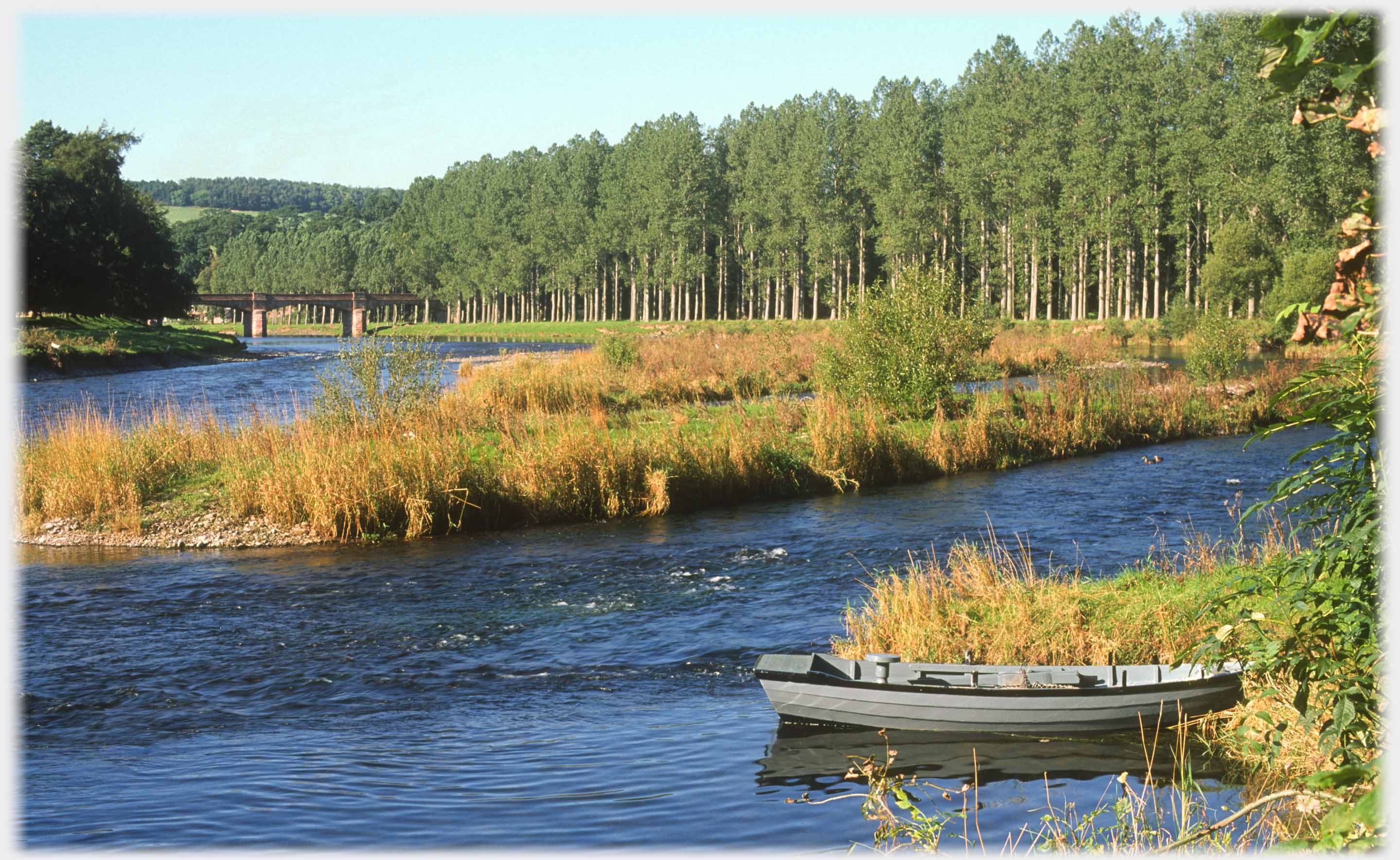 Mertoun Bridge with a little more context
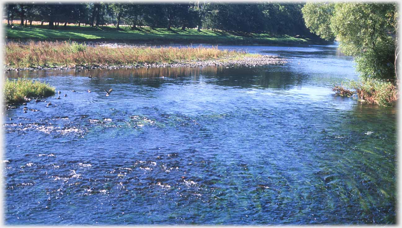 Currents of the river contrasting with the...
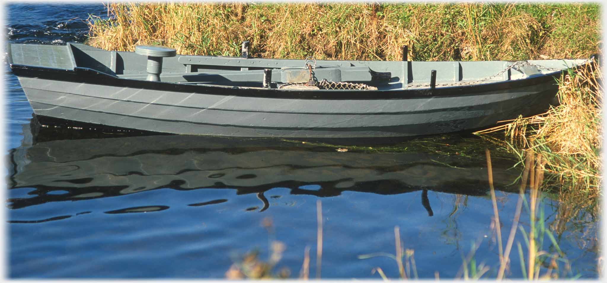 ...limpid reflections in the lee of the boat
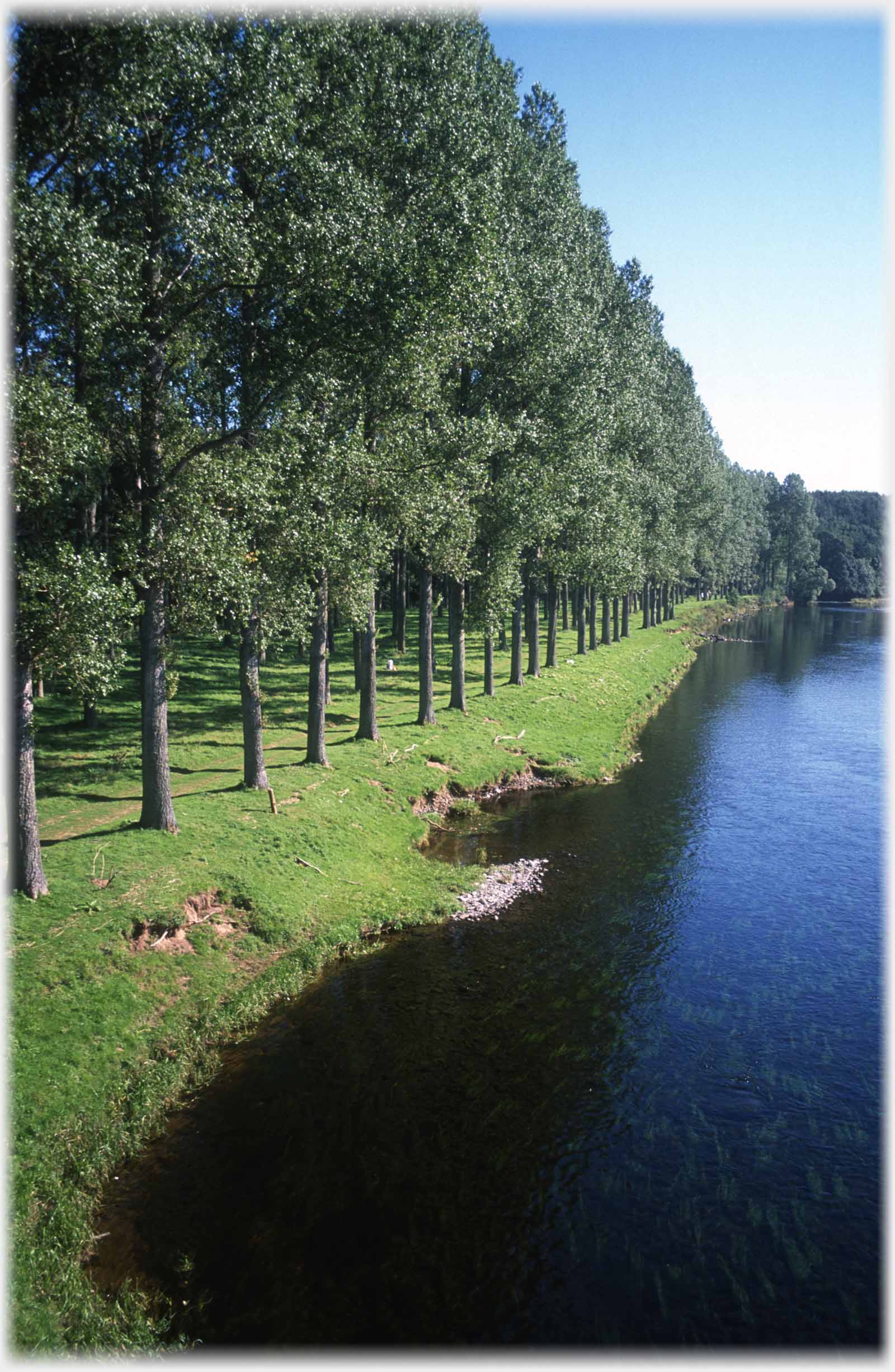 The east bank of the Tweed at Mertoun
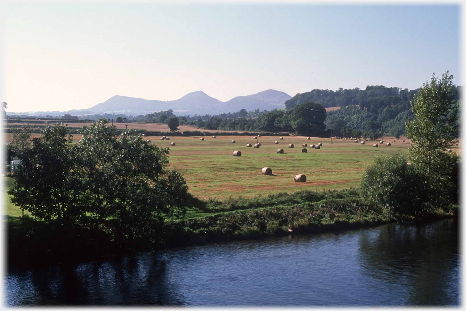 As everywhere, in this part of The Borders, looking up from the river, the
Eildons
can be seen
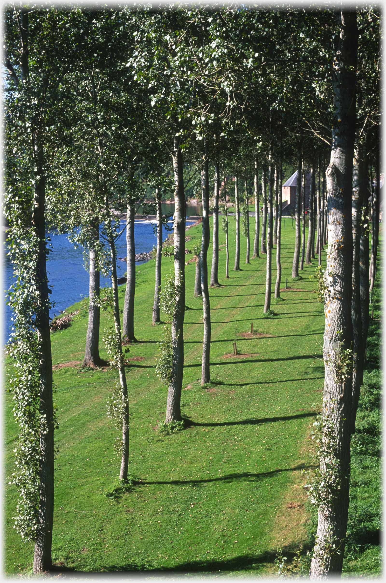 ...also shown in the top photo of this page
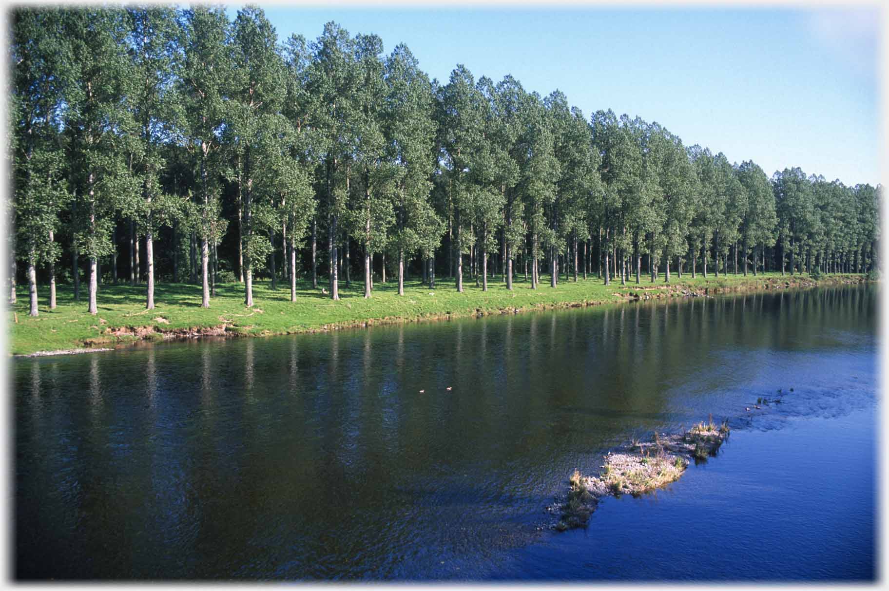 The trees, on the downstream bank, form the stately avenue...
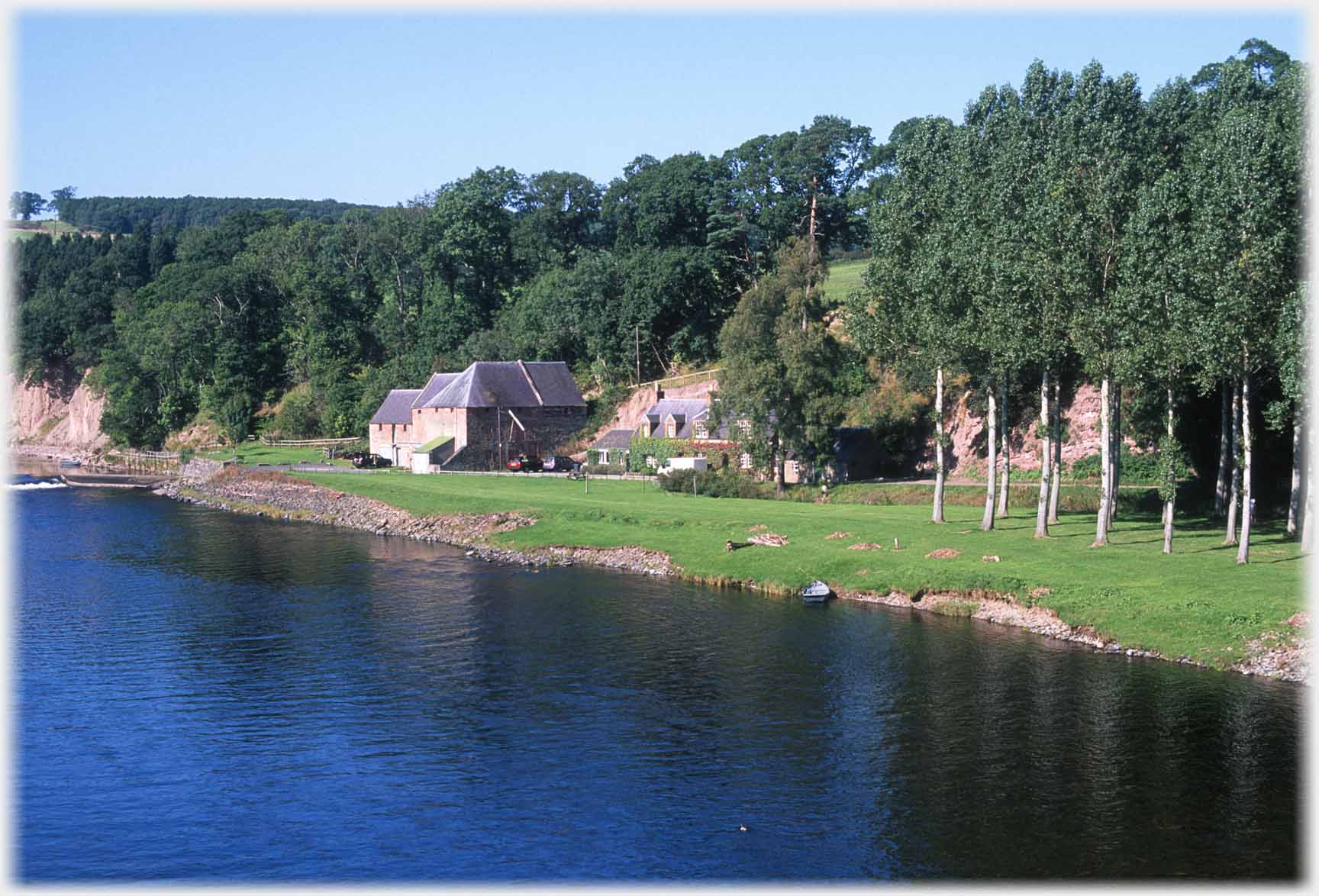 Upstream the trees end at Mertoun Mill, which Historic Environment Scotland describes as "A striking and well preserved example of a rural corn and flour mill"...
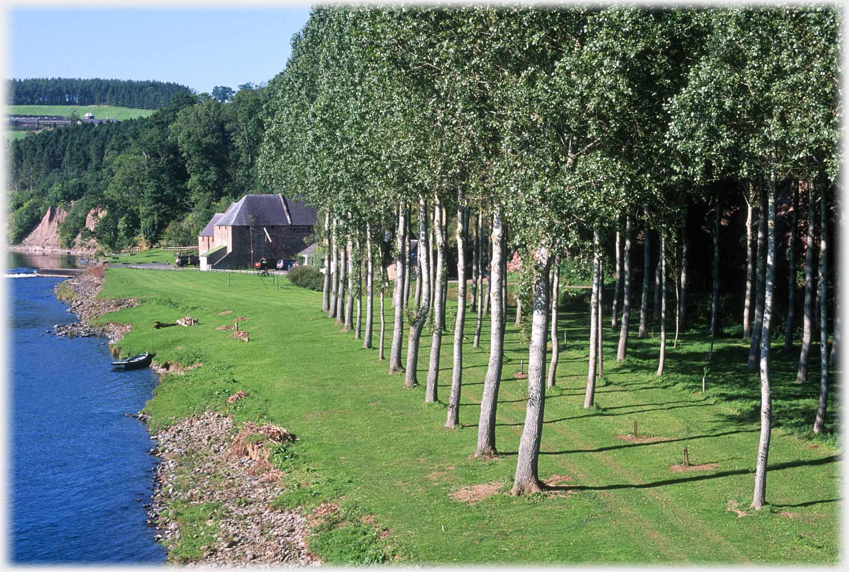 ...it probably dates from the early nineteenth century. The machinery seems to have been removed in the early 1970s, the remains of a caul are shown on maps
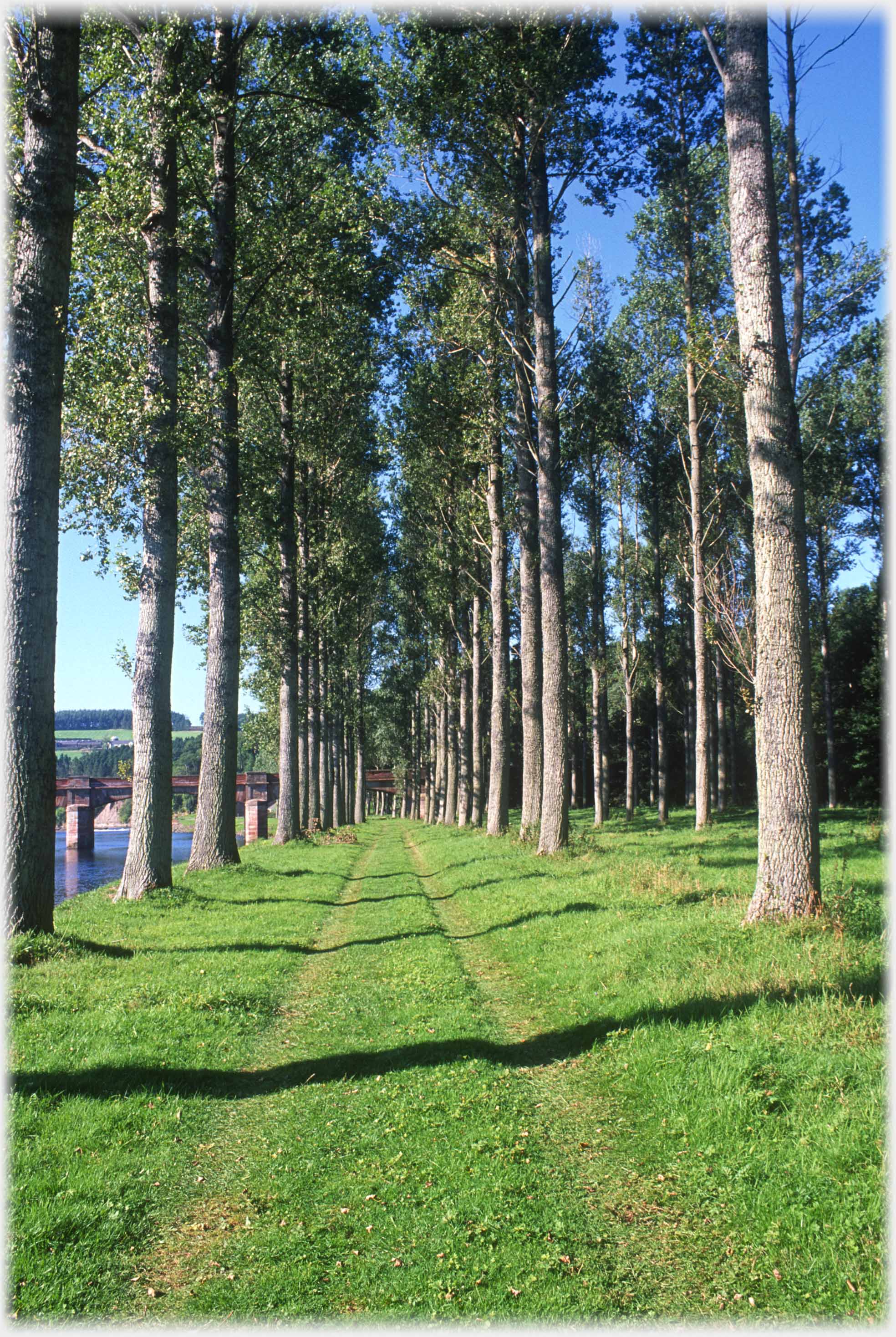 The avenue seen in the top photo, from ground level
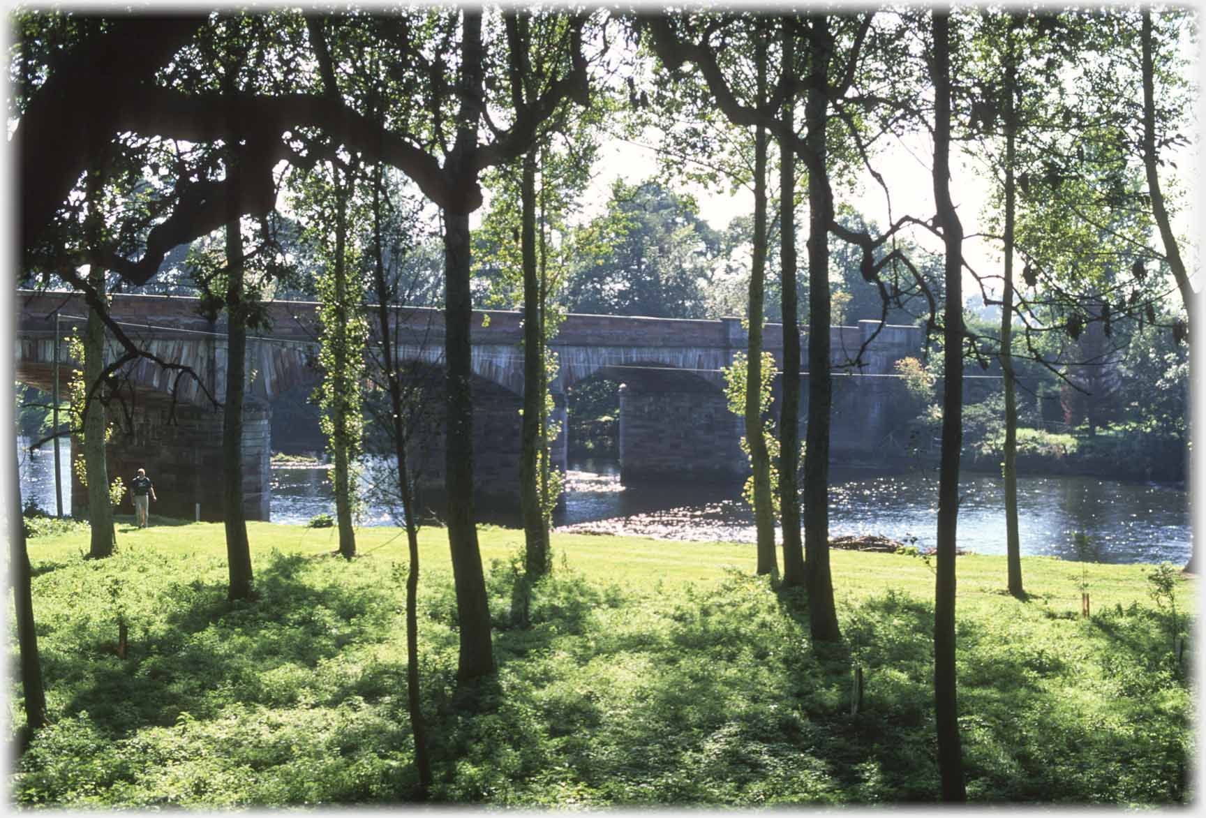 The bridge though the vertical lines of the...
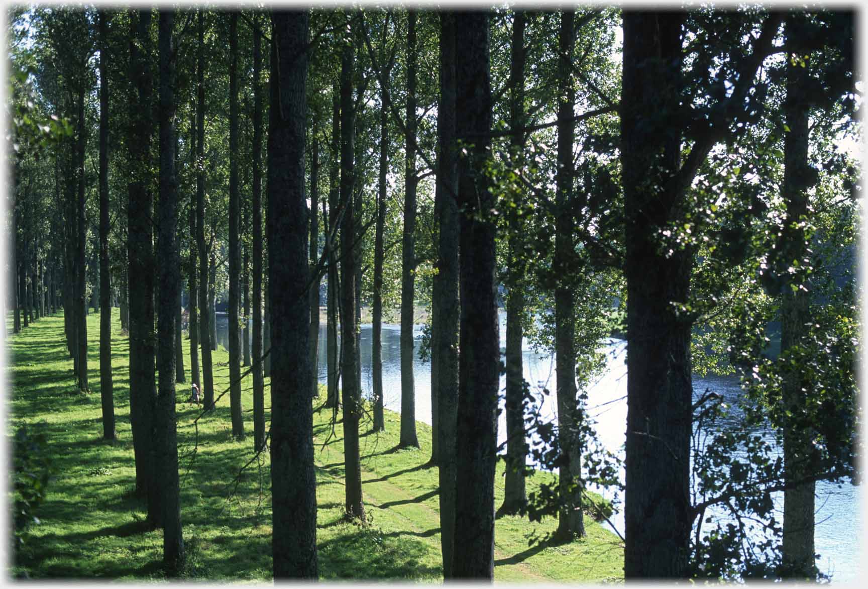 ...grove. And moving up river to a very different bridge...
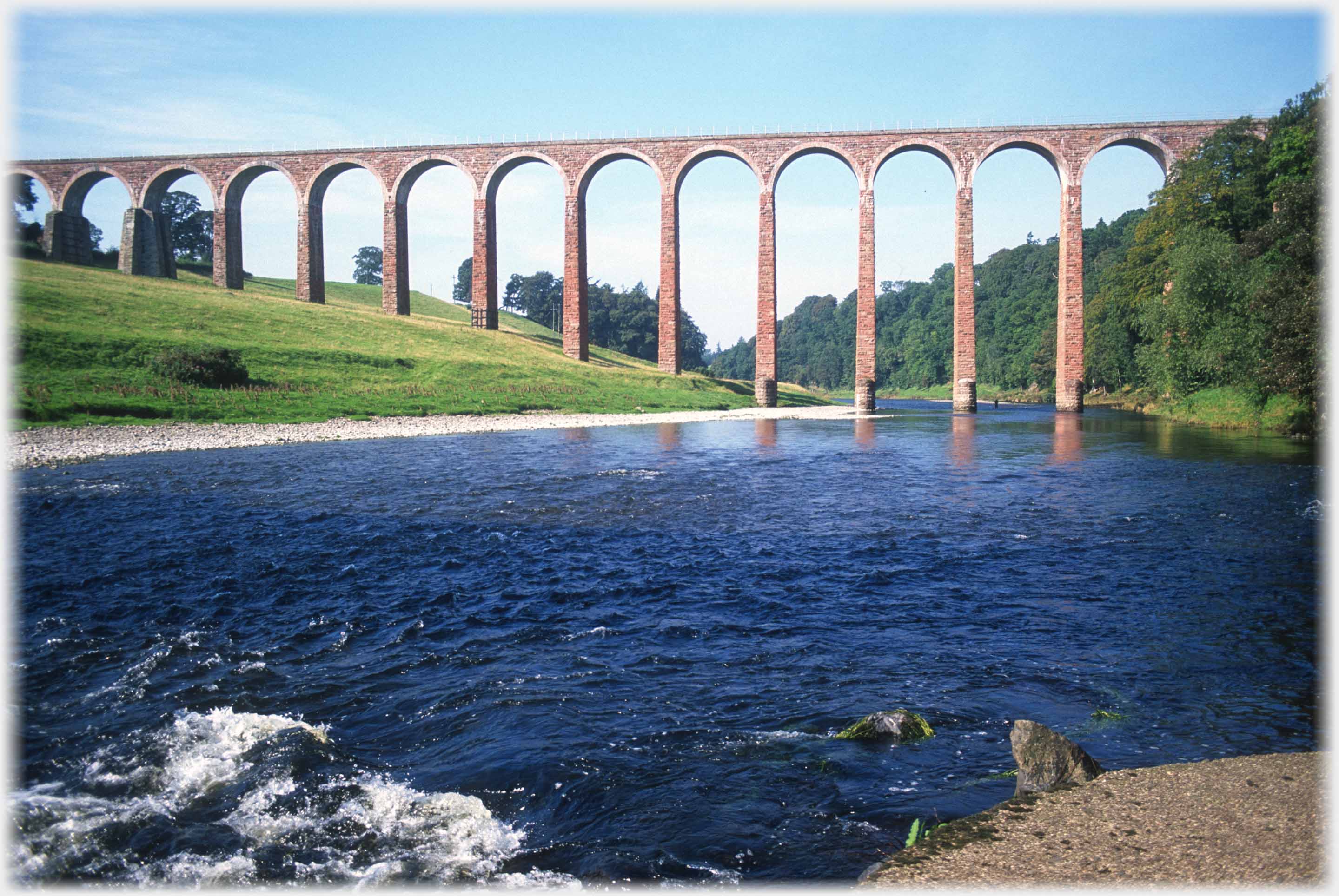 ...which offers more striking vertical lines, here of the 126 feet high (38 metres) Leaderfoot Viaduct. This 19 span railway viaduct was completed in 1863 and closed to passengers in 1948
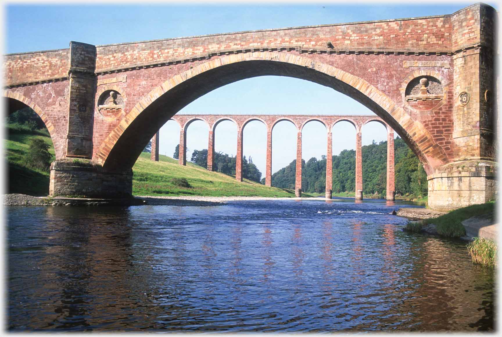 Just downstream the Drygrange Bridge (for road traffic) which has a central span of 34 yards
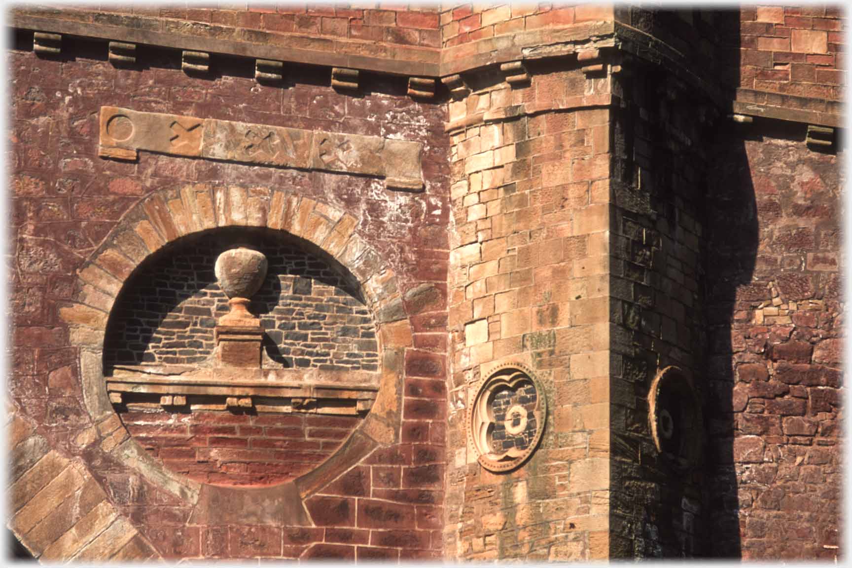 When it was built, in 1780, with decorations of its time, this was considered a span of exceptional length
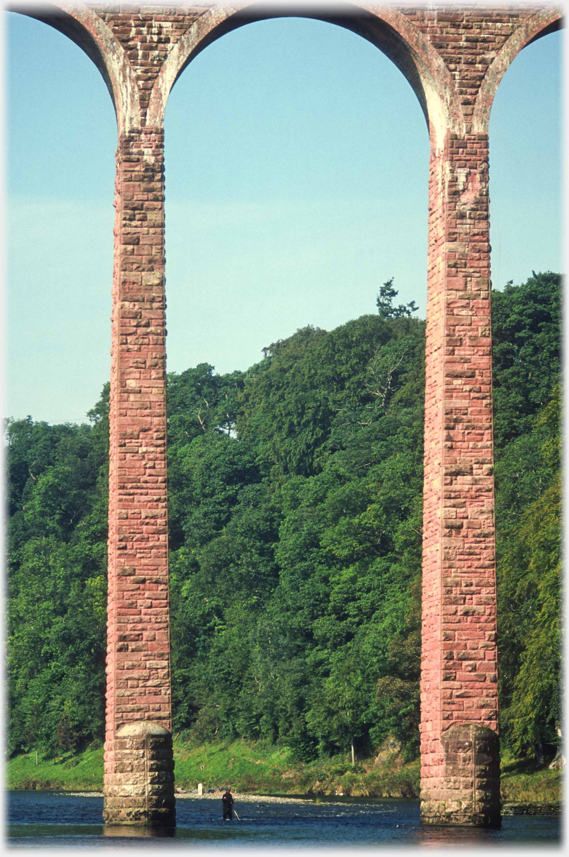 A fisherman gives scale to the viaduct's piers
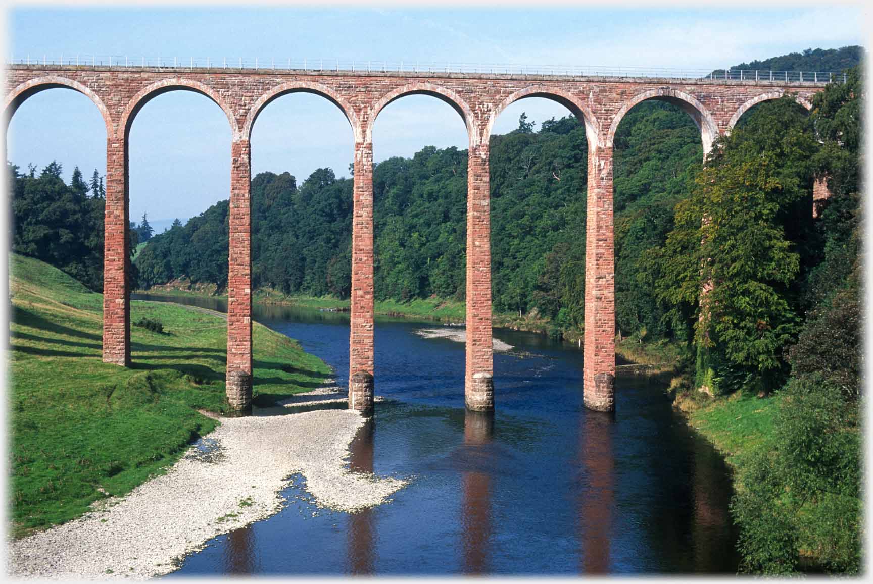 Historic Scotland took over the viaduct in 1996 when it was threatened with demolition
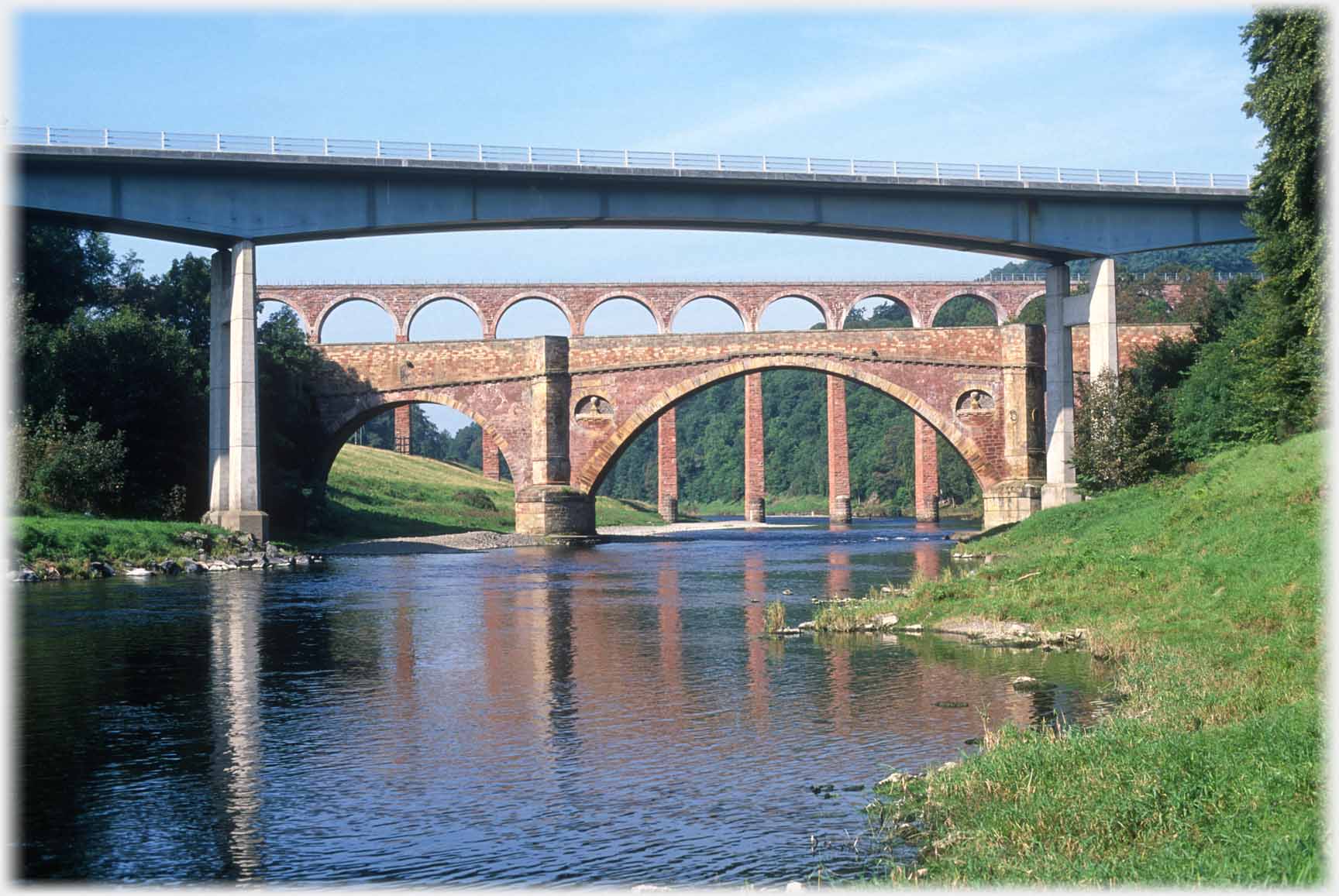 A third bridge was added in 1974 when the new bridge for the A68 was opened
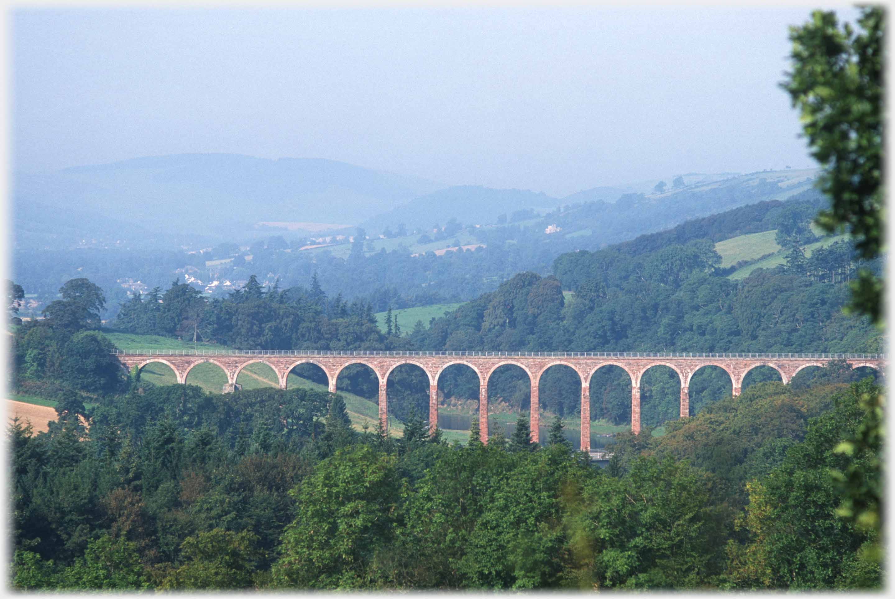 The Leaderfoot Viaduct in all its glory
Trailers...
 The next Picture Posting page
continues the journey up the River Tweed with photographs from the old county town of Selkirk, and its two valleys.
 The next page
of the Mosaic Section is headed 'Gift Economy'.
Or go to the contents Go to the contents of the Mosaic Section. of the Mosaic Section.

 The previous page had more on those Eildon Hills
 A page from Laos with bombs, jars and trees from the most densely wooded country in Asia
 ...guide to this site