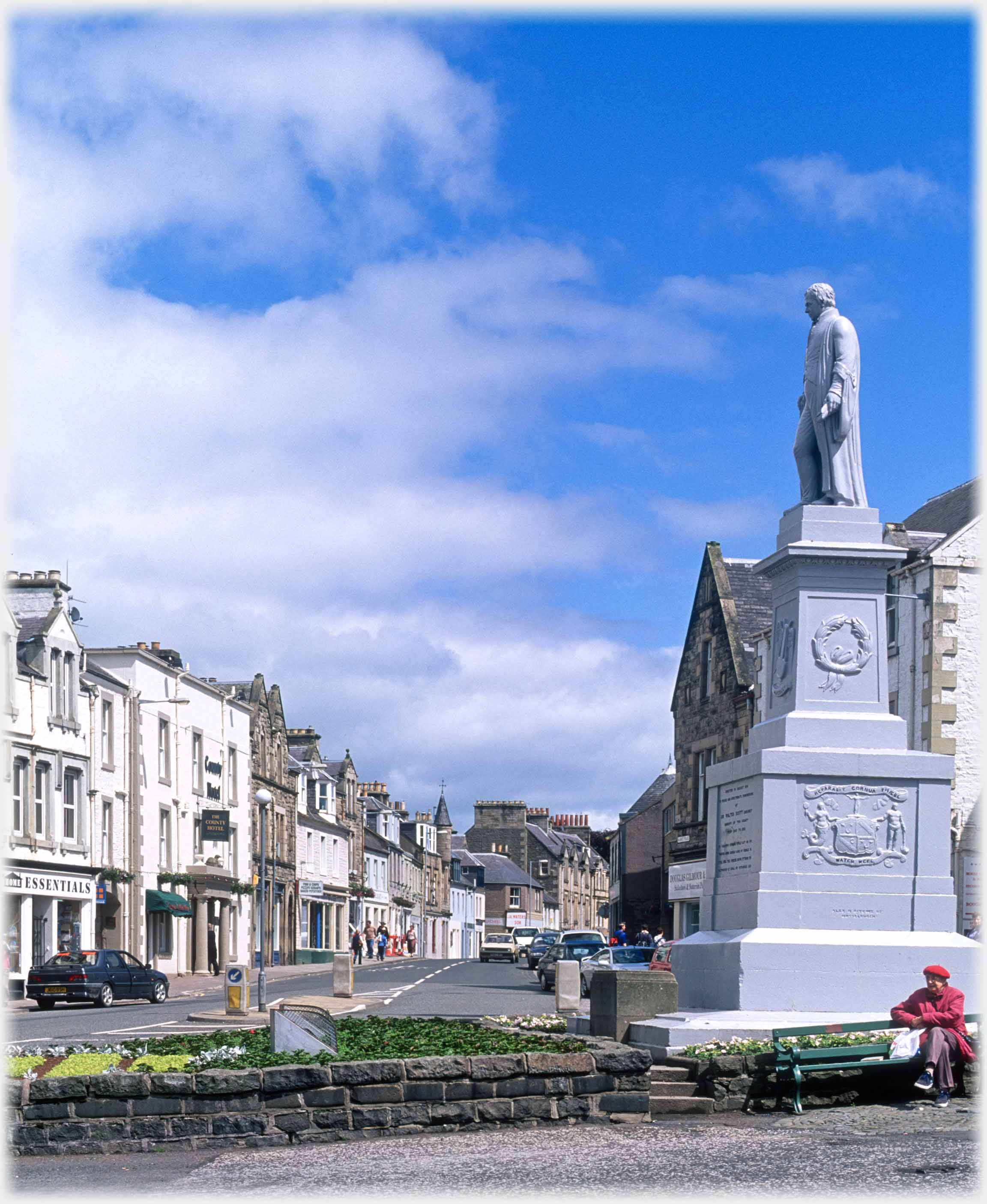
 The Market Place at the centre of Selkirk with its most famous sheriff, the writer
Sir Walter Scott,
looking down on his fiefdom
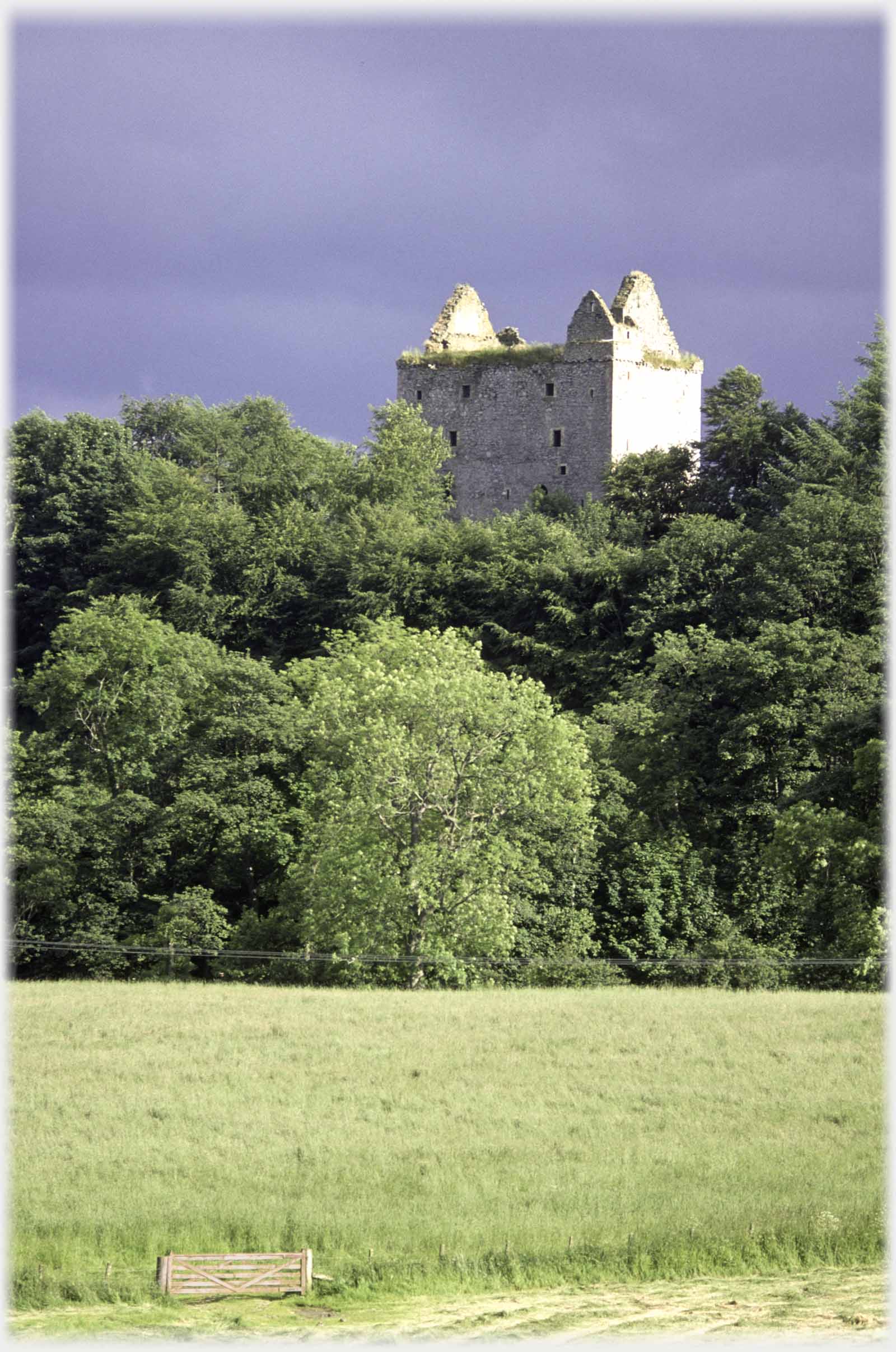 Newark Castle, which dates from the 1400s, stands on the banks of Yarrow Water three miles west of Selkirk...
Below, the tour of the Scottish Borders continues with some photos from the south-west of the area. Until the reorganisation of counties in the 1970s, this was Selkirkshire with the namesake county town. Two major valleys dominate the county and join just to the south-west of Selkirk: Ettrick Water and Yarrow Water; in the arms of this confluence sits Bowhill House, one of the Duke of Buccleuch's principle residences. These photographs are from thes two valleys and the town itself.
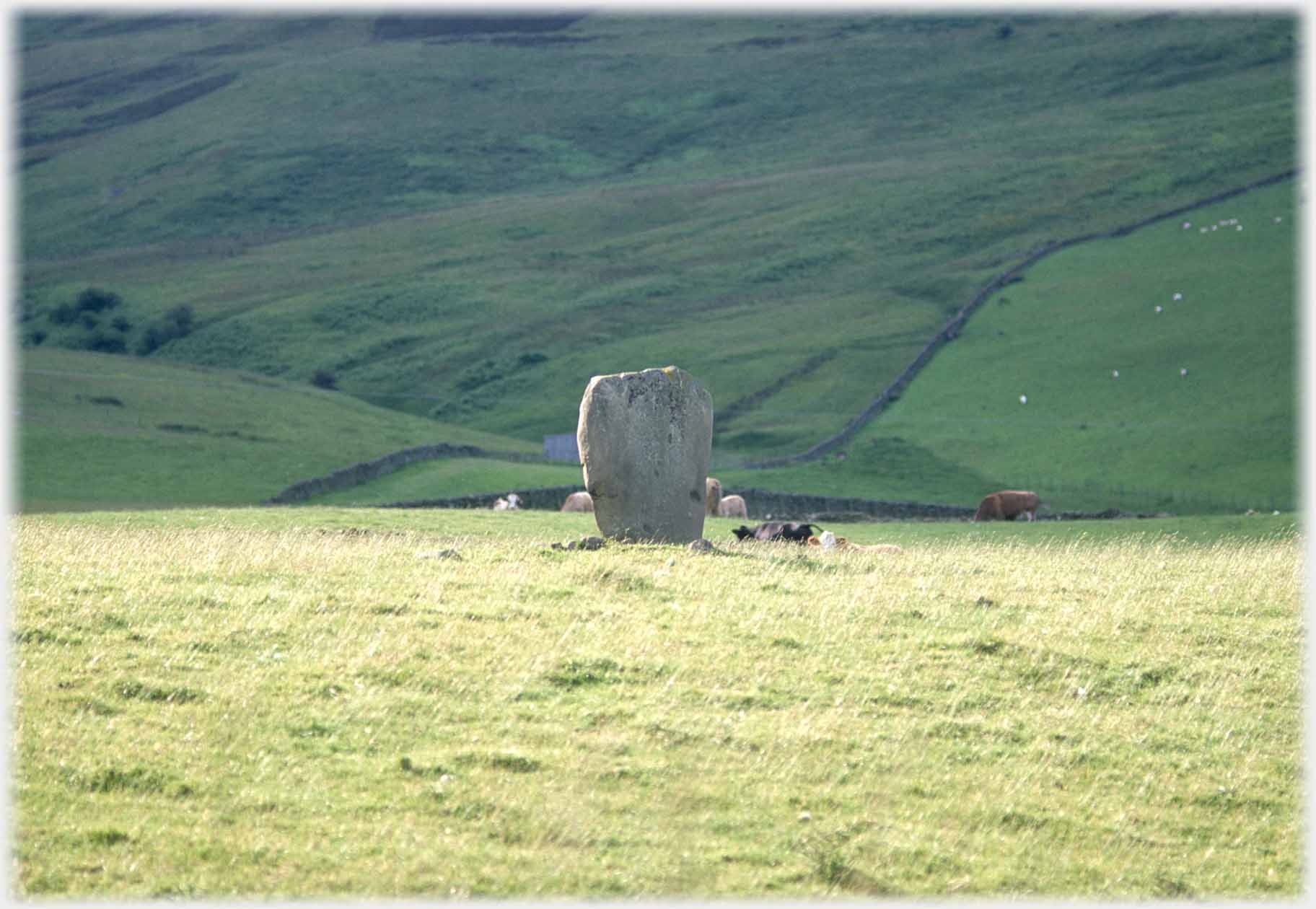 ...further down that valley is the Glebe Stone, standing as the last remains of a burial cairn. Dating is limited to "pre-historic"
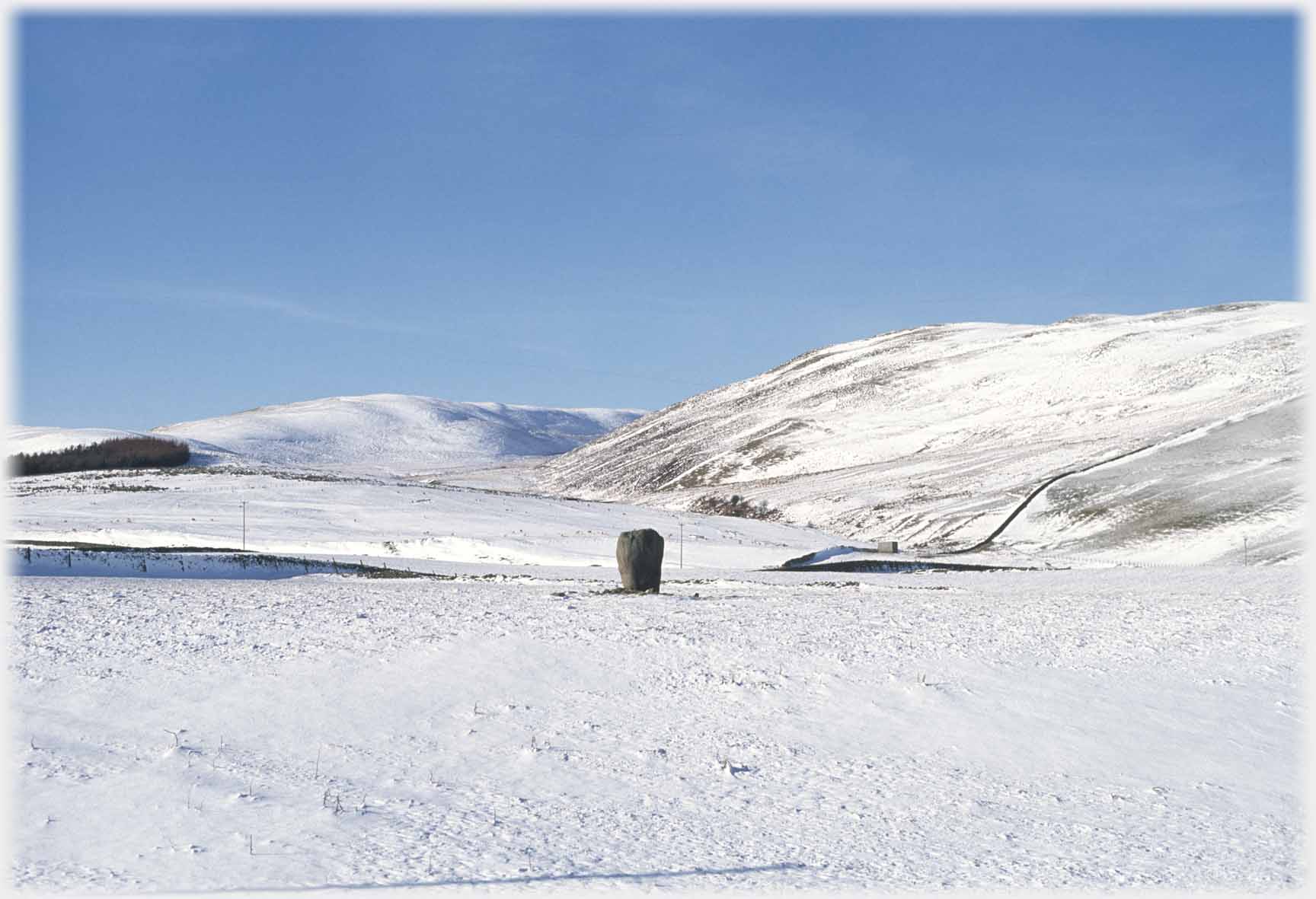 Several other burials are recorded in this area
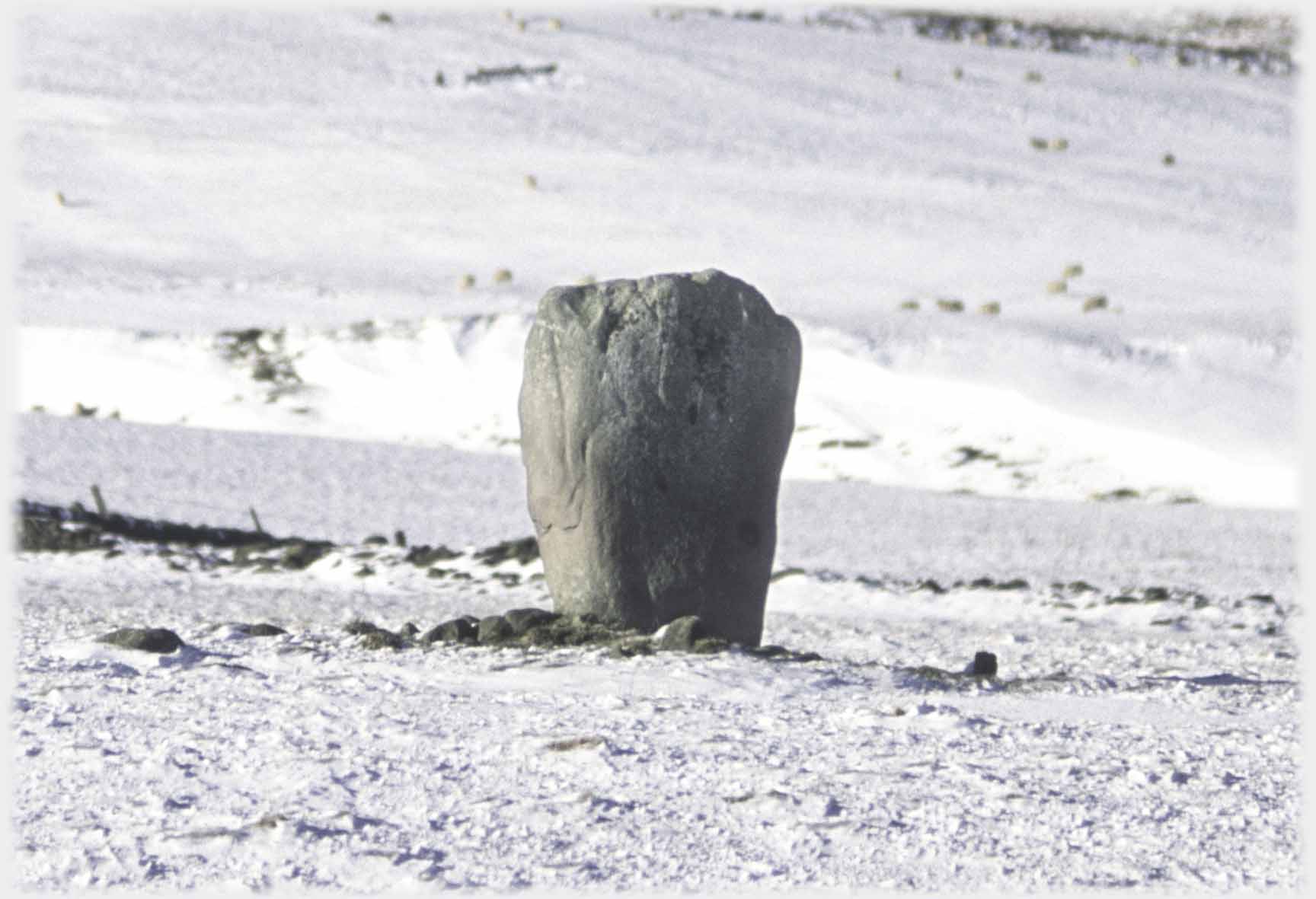 Appearing more dramatic in its winter clothing
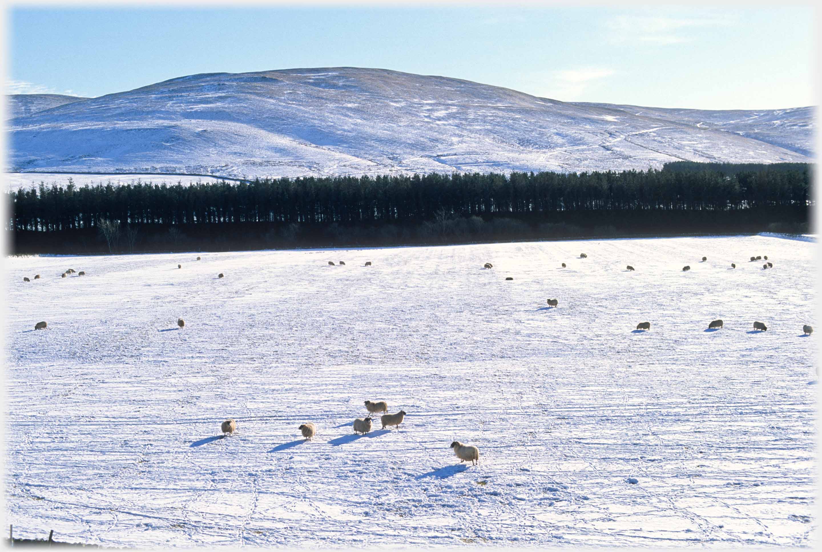 More perturbed by the snow, are the valley's sheep, the ones in the foreground looking a little disconcerted by the lack of grass. Sheep and their fleece are synonymous
with these border lands
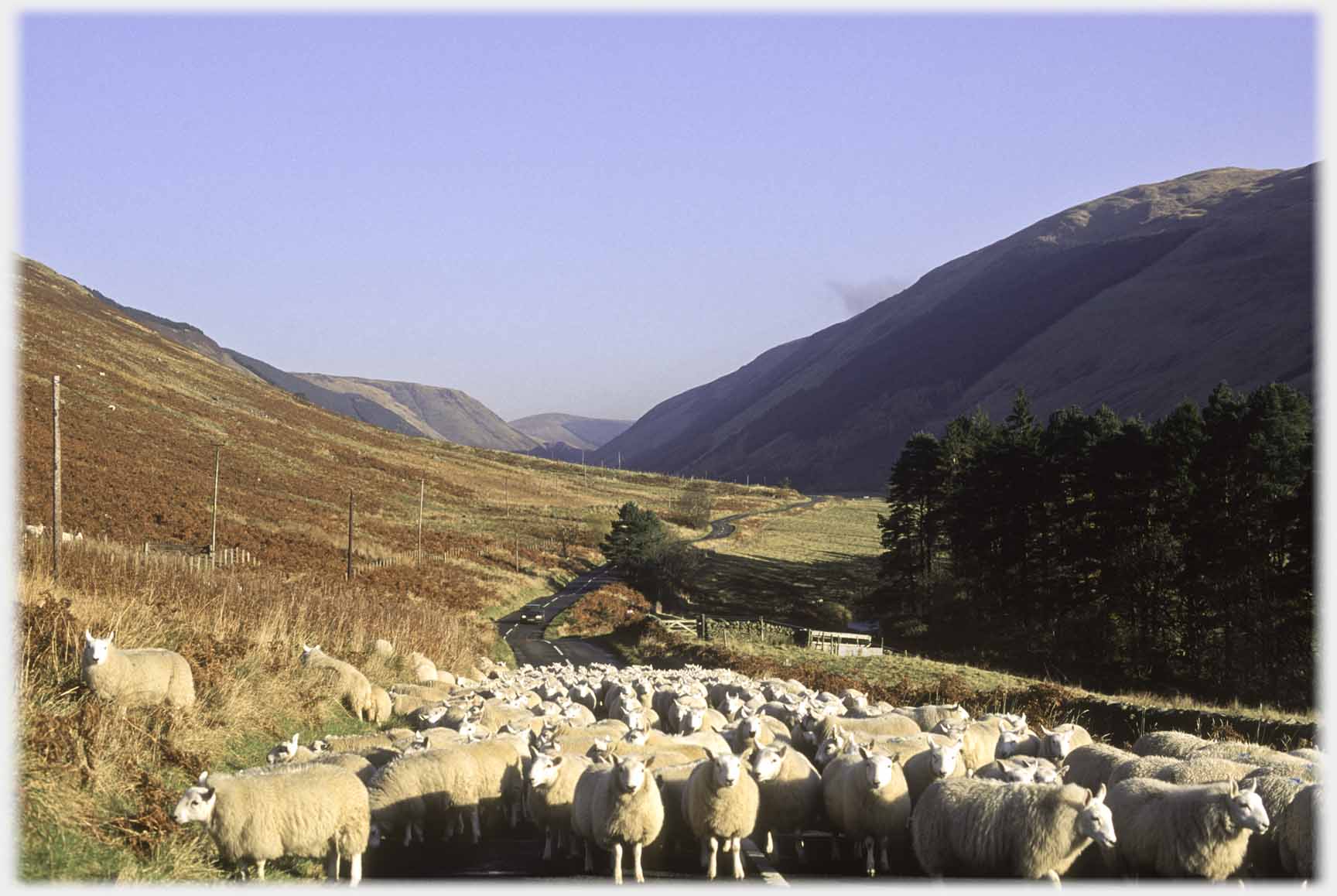 More Yarrow sheep facing a different problem - what to do about an oncoming car
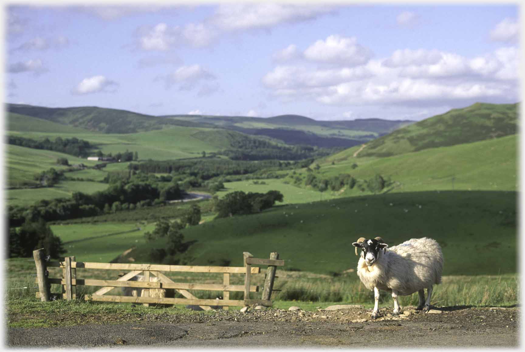 Blackface ewe against the background of Yarrow Water (aka Yarrow Valley)
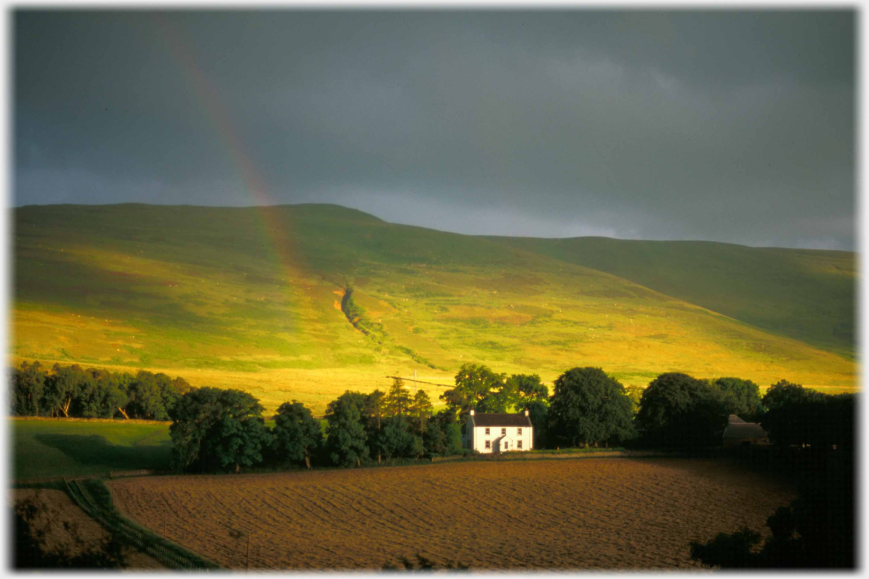 Across the road, a couple of miles above the Glebe Stone, is Sundhope Farm, usually inconspicuous, but on this occasion dramatically lit
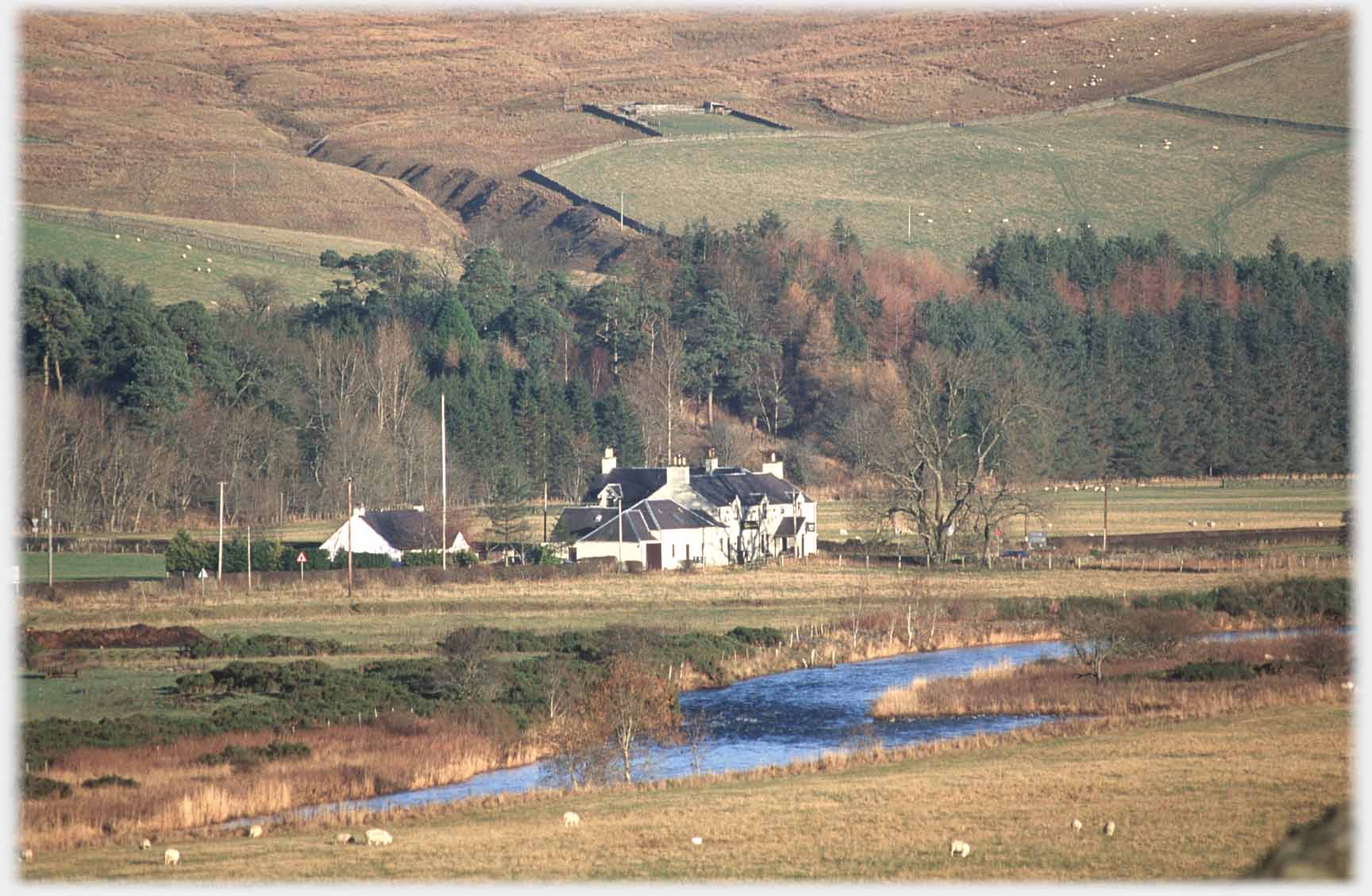 The Gordon Arms sits at the crossroads in Yarrow where the road from Innerleithen, on its way to Ettrick Water, dips across the valley
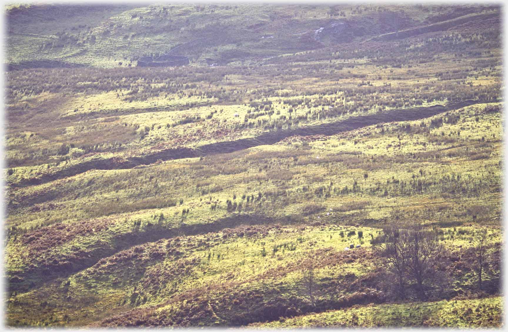 Back downstream, towards Selkirk, is the only other road that leads over to Ettrick Water; it passes Kers Hope with its patterned moorland
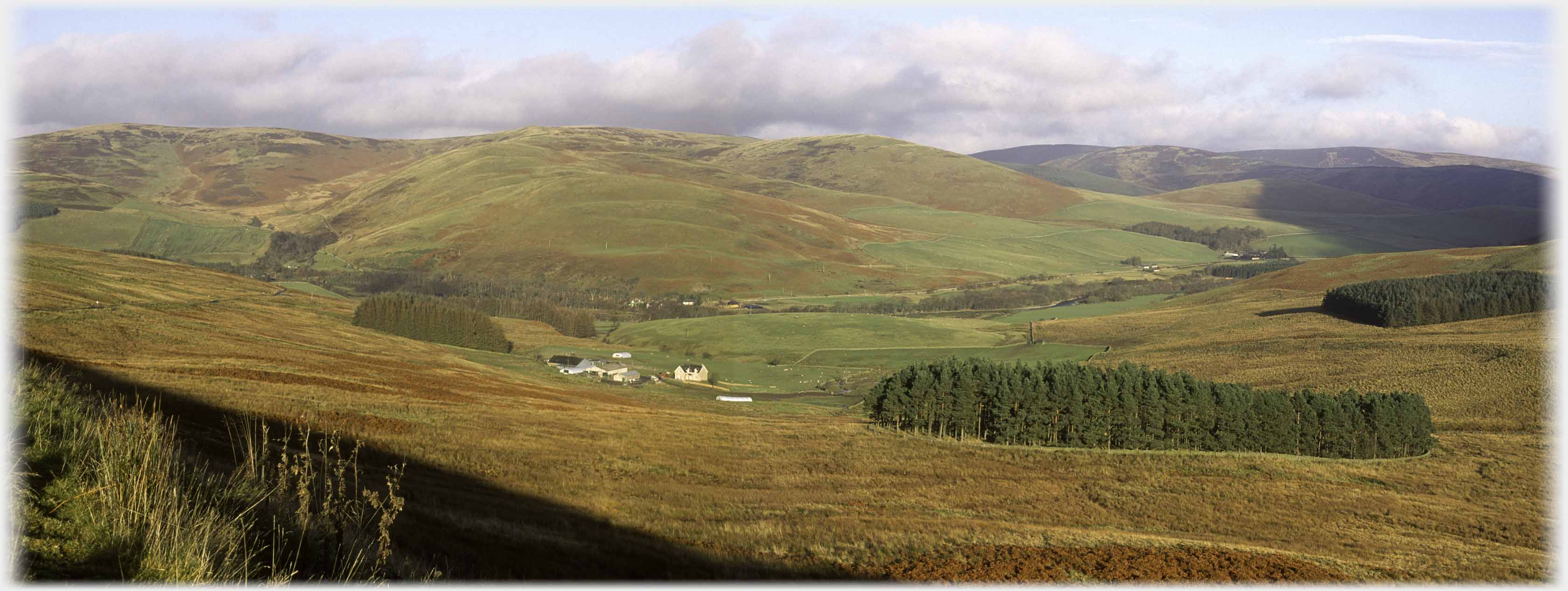 And on that road, which runs from Yarrow village to Ettrick Bridge, this is the view looking back up Yarrow Water towards Selkirk, with Deuchar Hill beyond Wester Kershope Farm
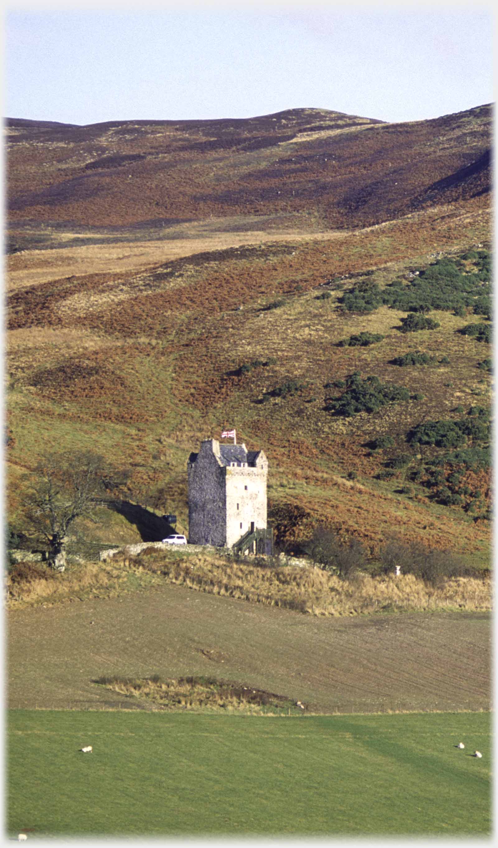 Kirkhope Tower, like many in The Borders, has been restored in recent years. A building on this site...
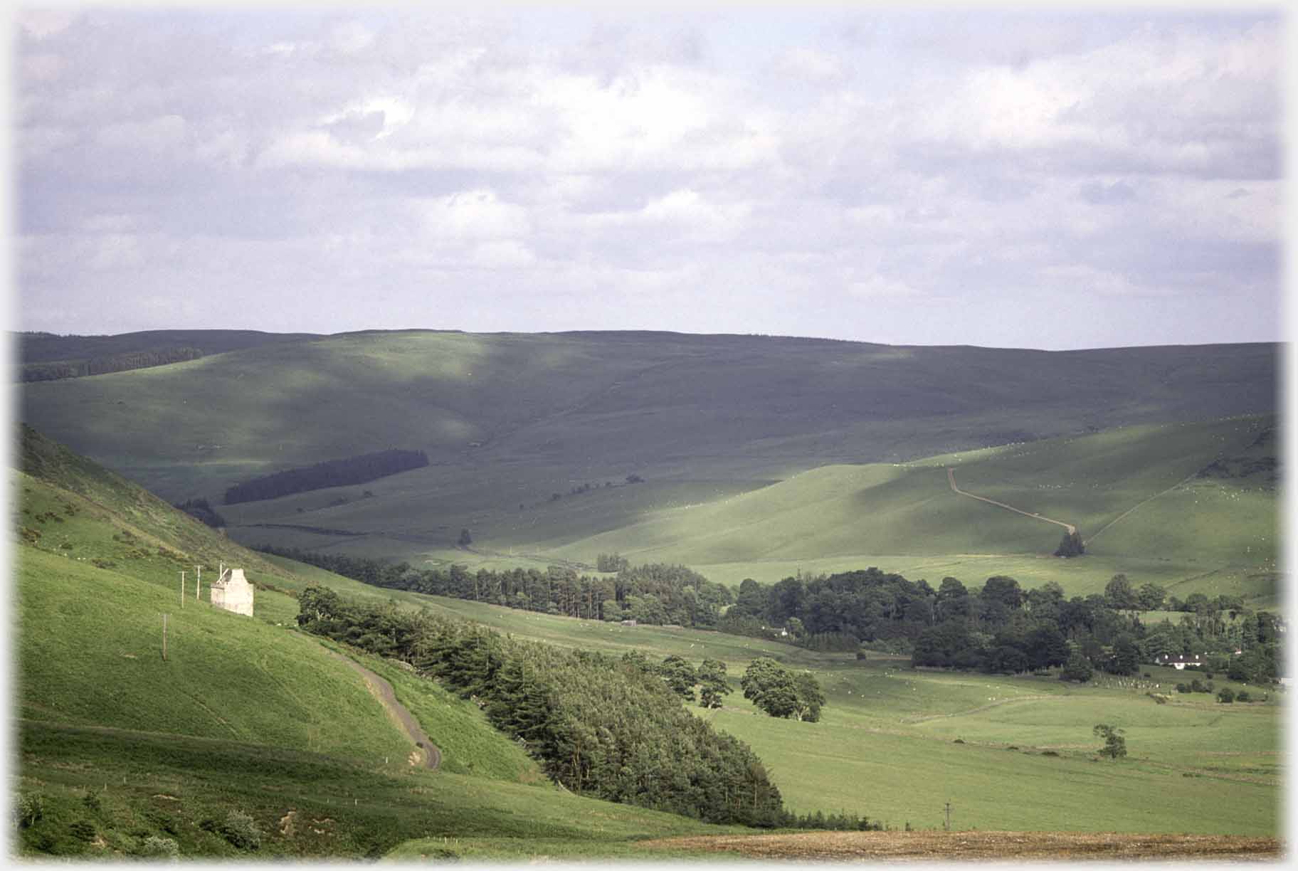 Coming over the pass into Ettrick Water the road passes Kirkhope Tower. Above, the tower's view of Ettrickbridge; below, a winding dyke leads towards Kershope Hill
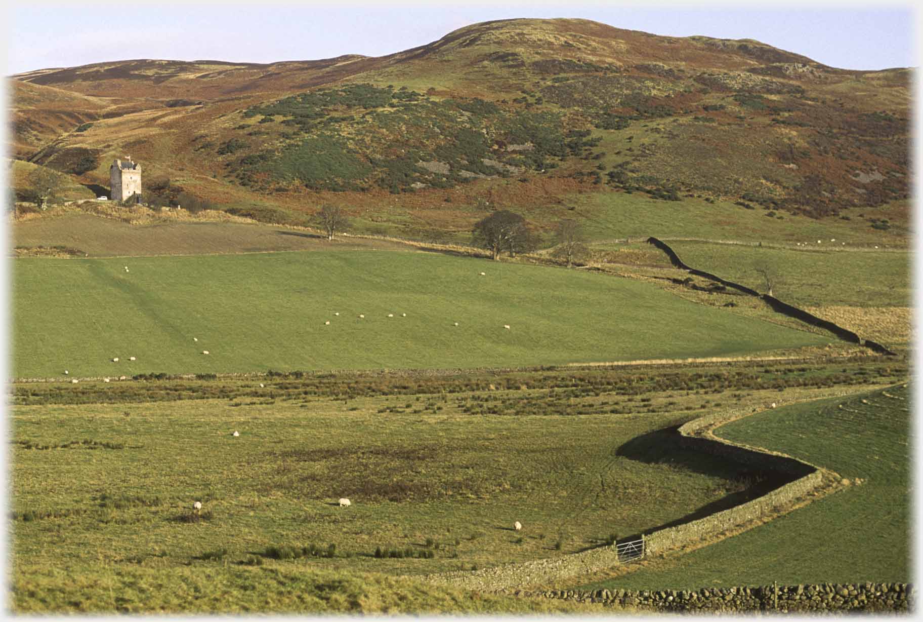 ...was burned down in 1543, and the present tower probably built around 1550. It now has a roof and electricity
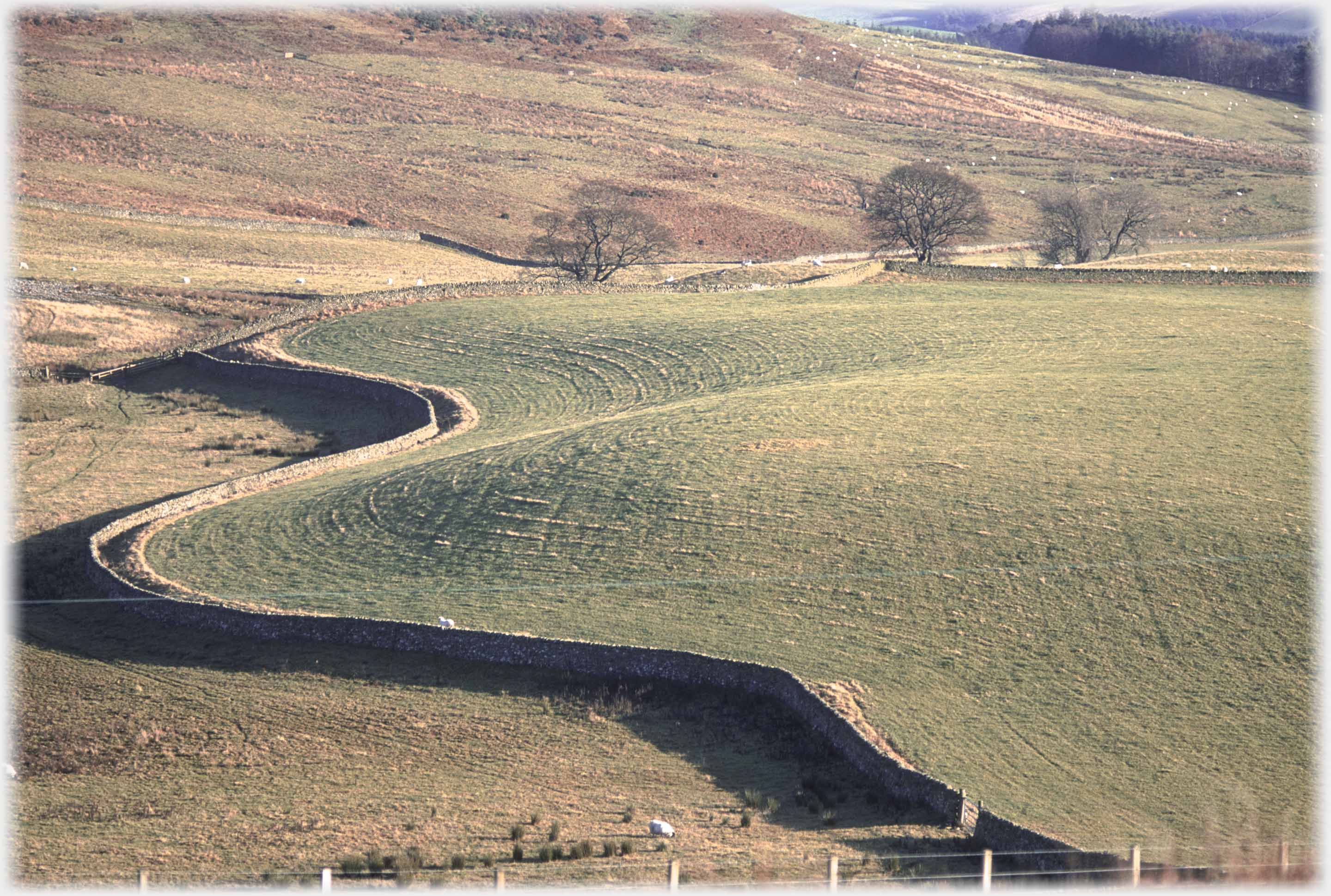 The dyke below Kershope Hill hugging the contours
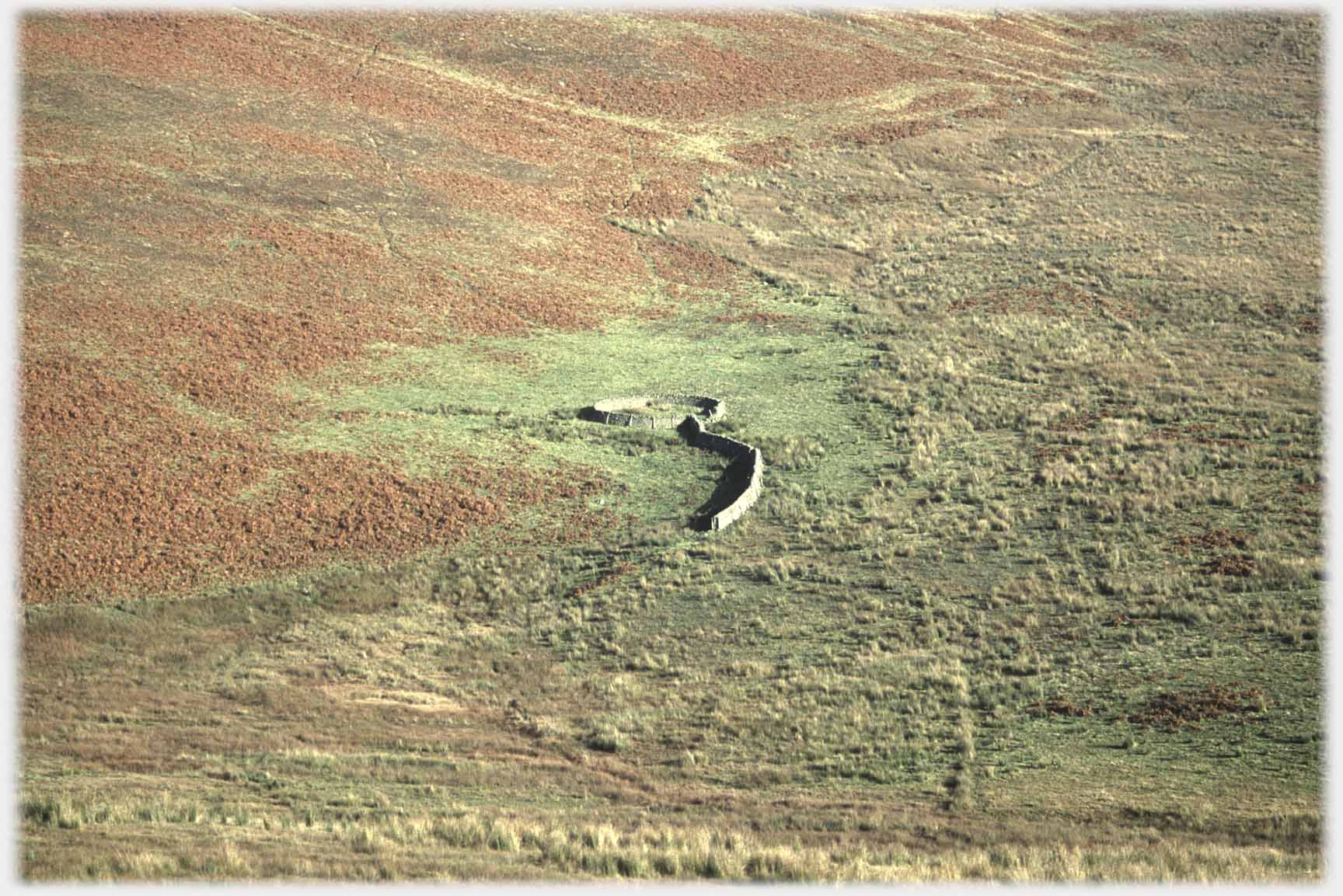 Just as the tower comes into view (when driving over to Ettrickbridge) this elegant sheepfold can be seen...
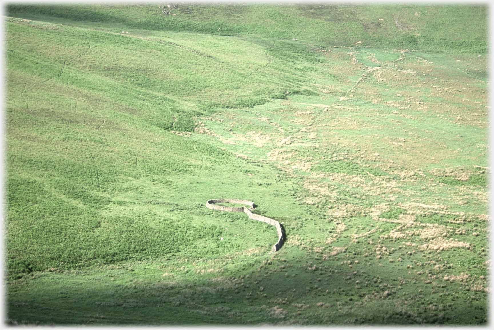 ...on the left, below Witchie Knowe. Contrasting shots in autumn and spring
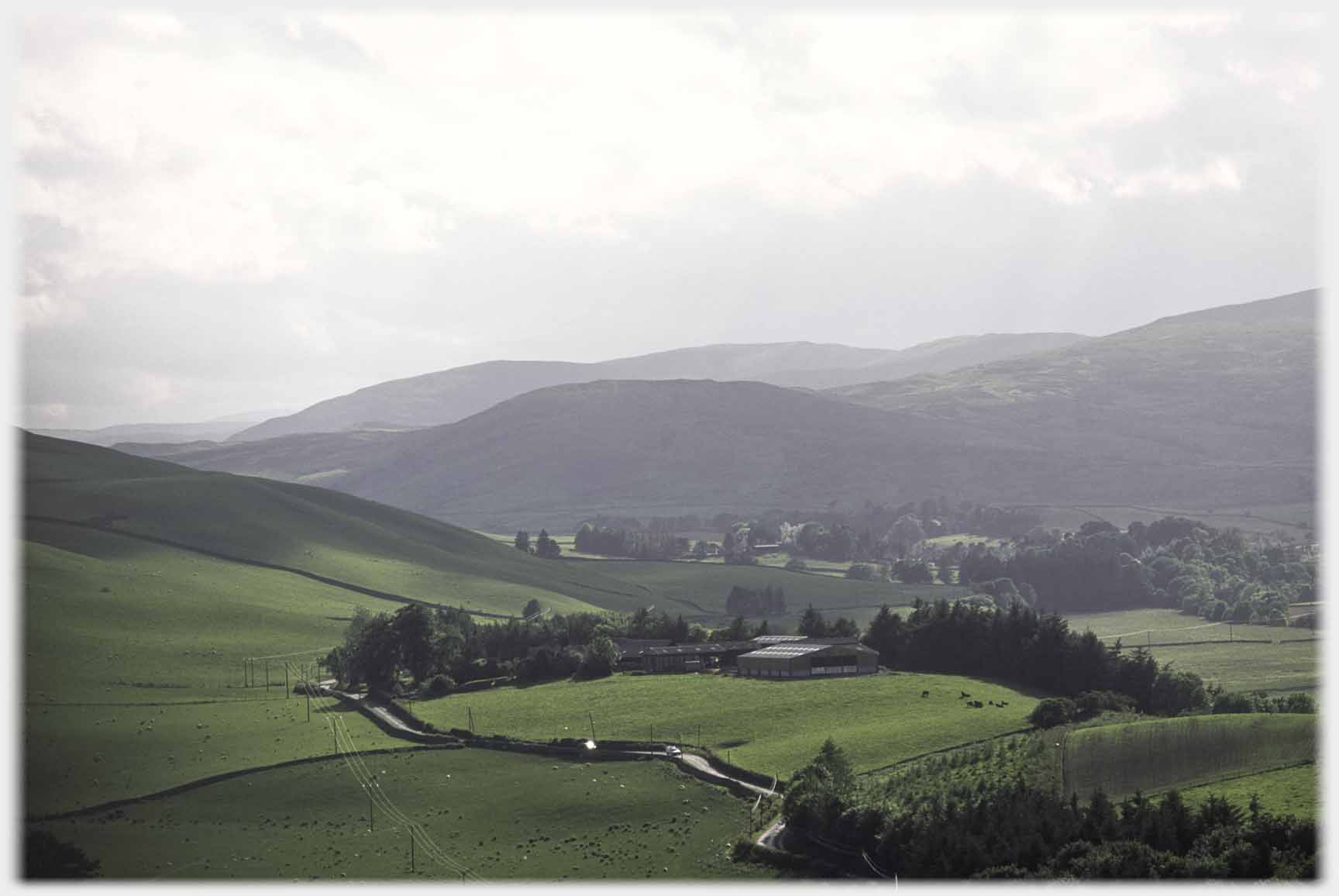 Two winding Ettrick ways. Above, the road from Selkirk...
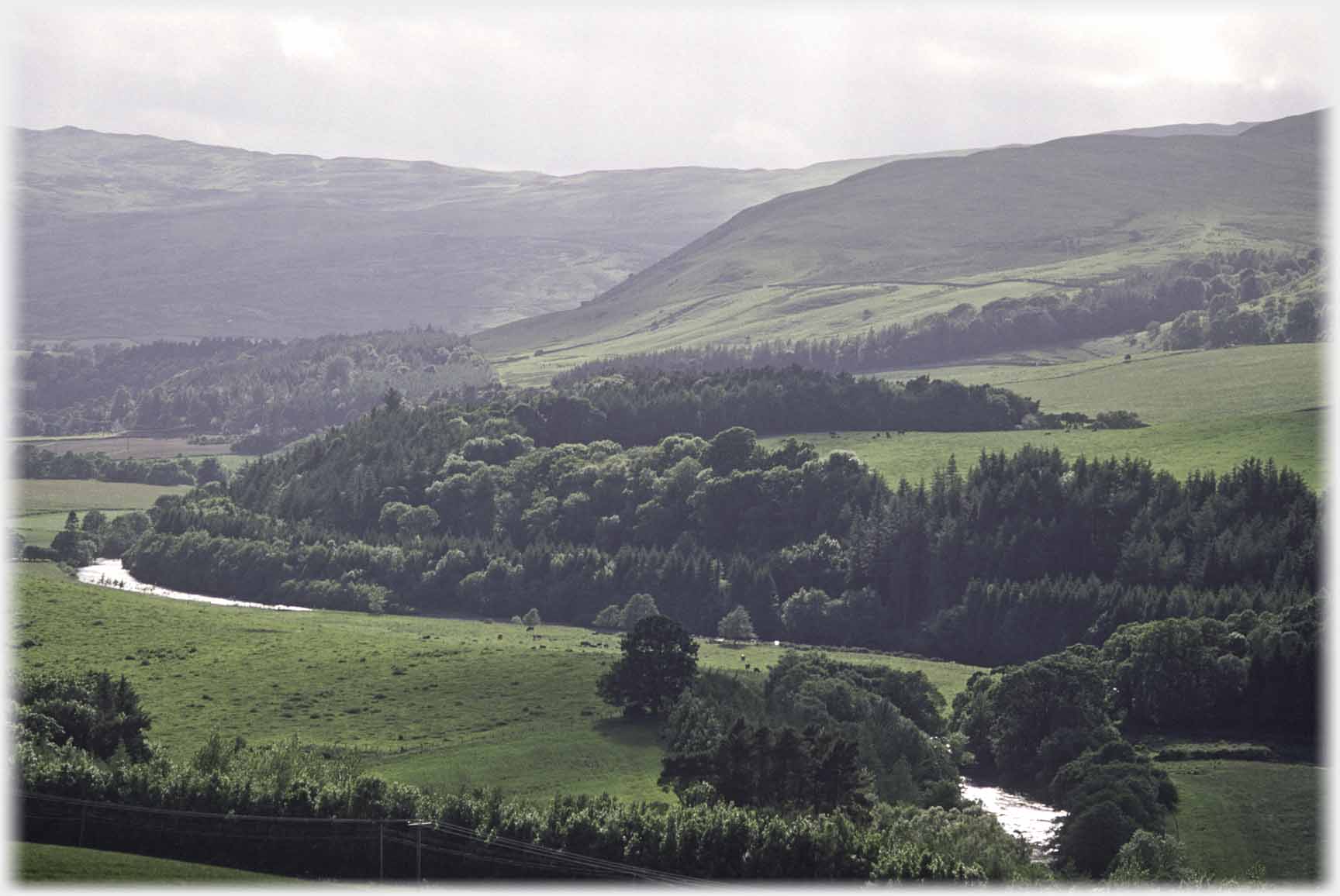 ...and here the river near Bowhill
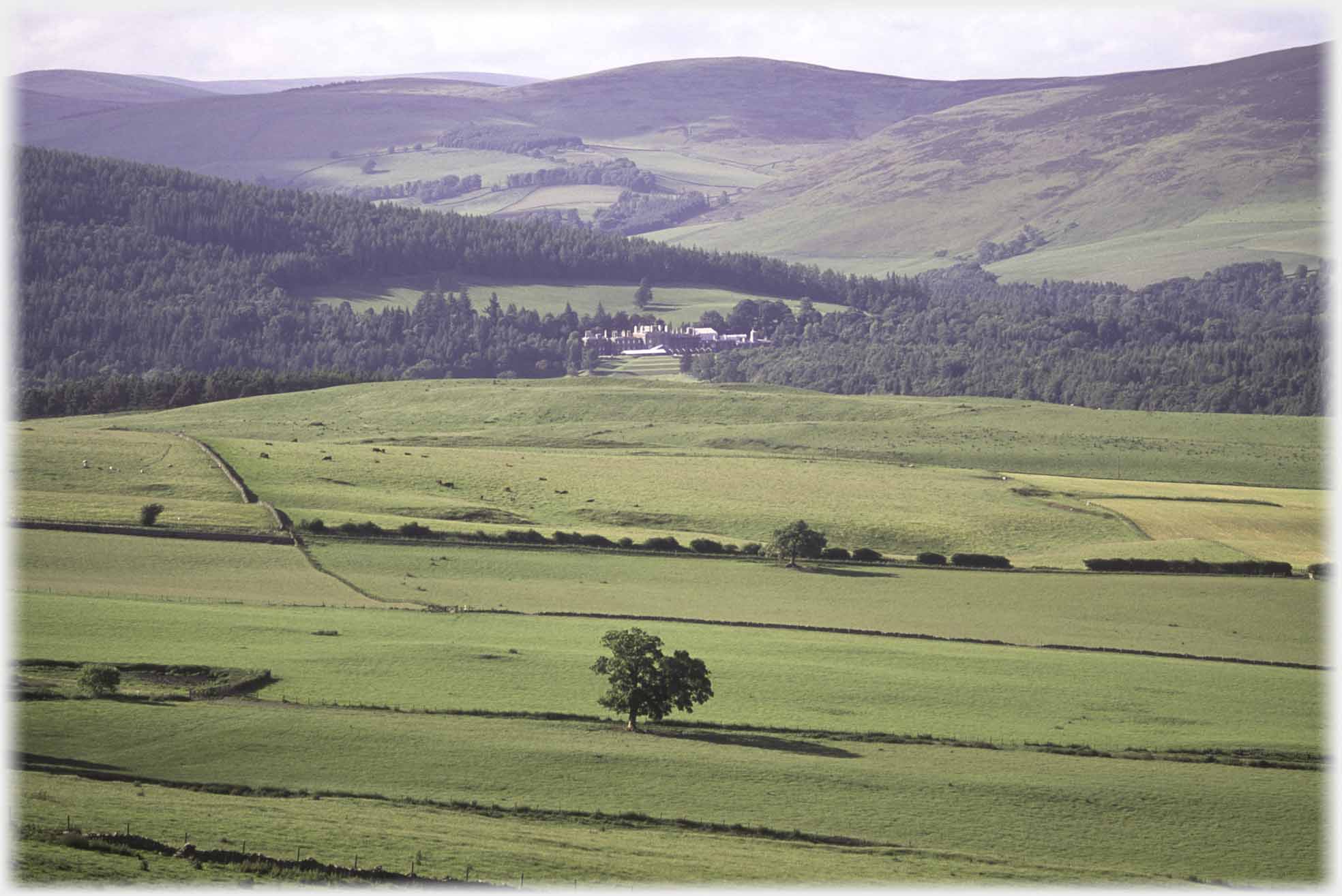 Bowhill House (distantly above) was acquired by Francis Scott
the second Duke of Buccleuch in 1747, and remains the
main residence of the Scott branch of the family
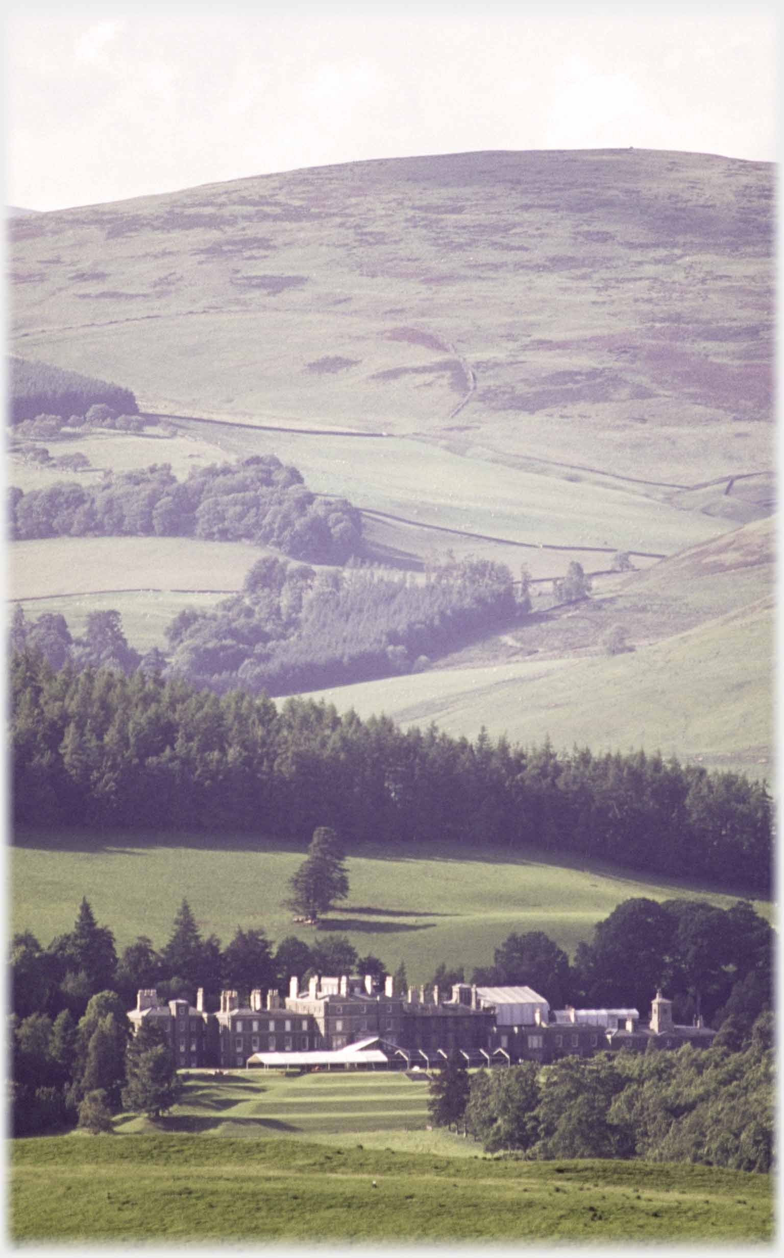 Bowhill was built in 1708 and later extended, reaching its present size of 133 metres long in 1876, compare this to the
long houses
of southern Vietnam
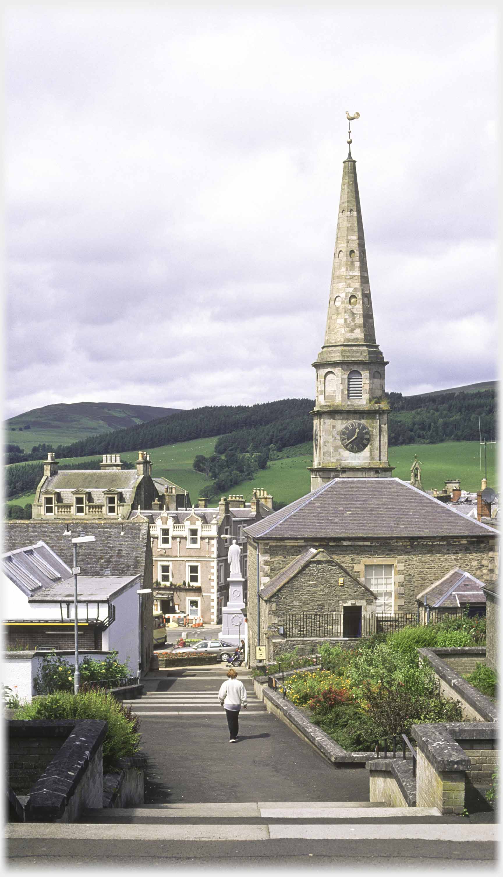 And back to Selkirk, here looking down what was Fleshmarket Close in the nineteenth Century, but now goes un-named on Google maps
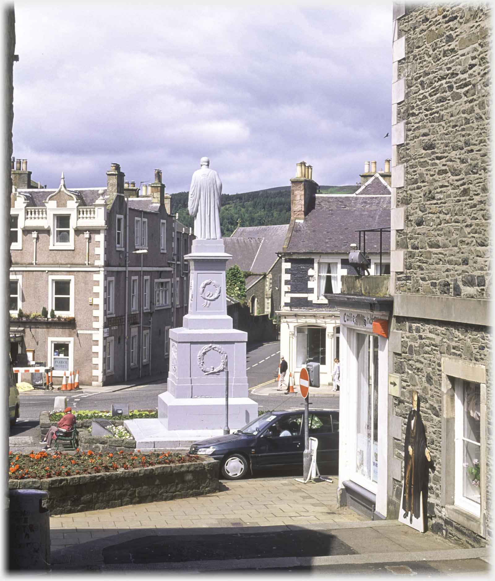 At the bottom of Fleshmarket Close is the statue of Sir Walter Scott. There is also a cut-out image of him, beckoning visitors, against the wall to the right
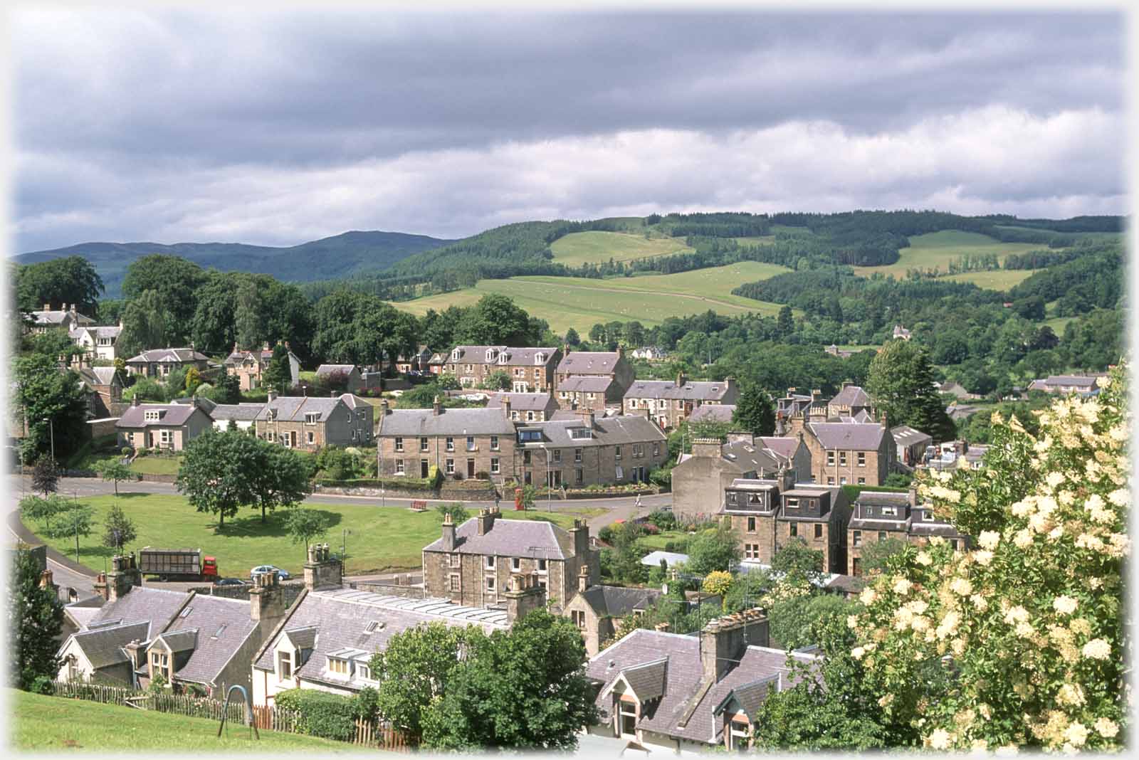 Open country feels close in Selkirk, here Harehead Hill is seen across the town centre
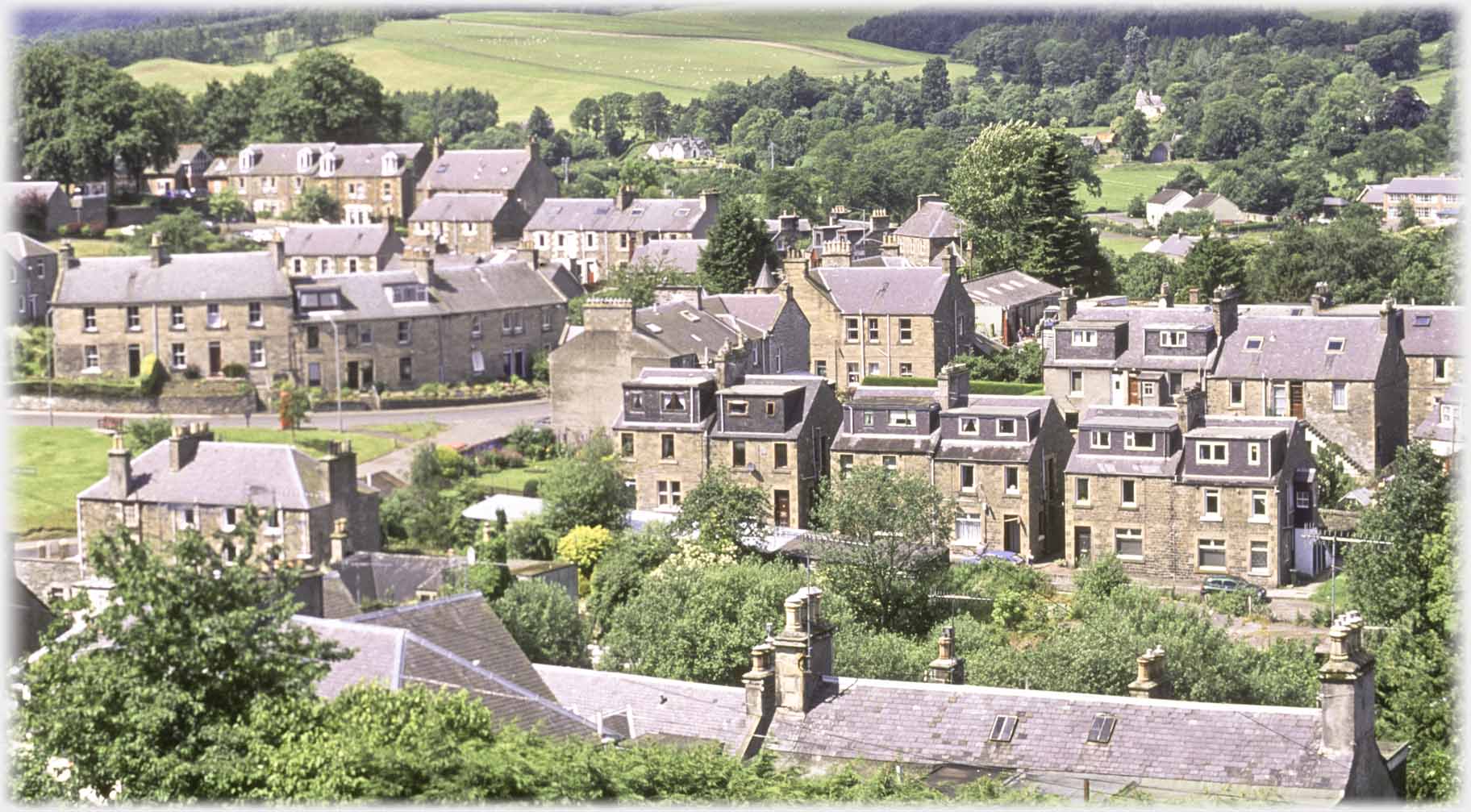 These rows of houses are very typical of all the weaving towns of the Scottish Borders - Gala, Hawick, Jedburgh
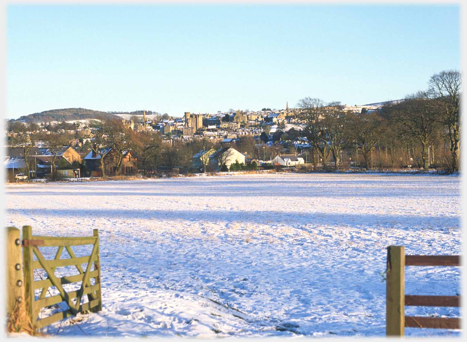 ...is dominated by the County Buildings
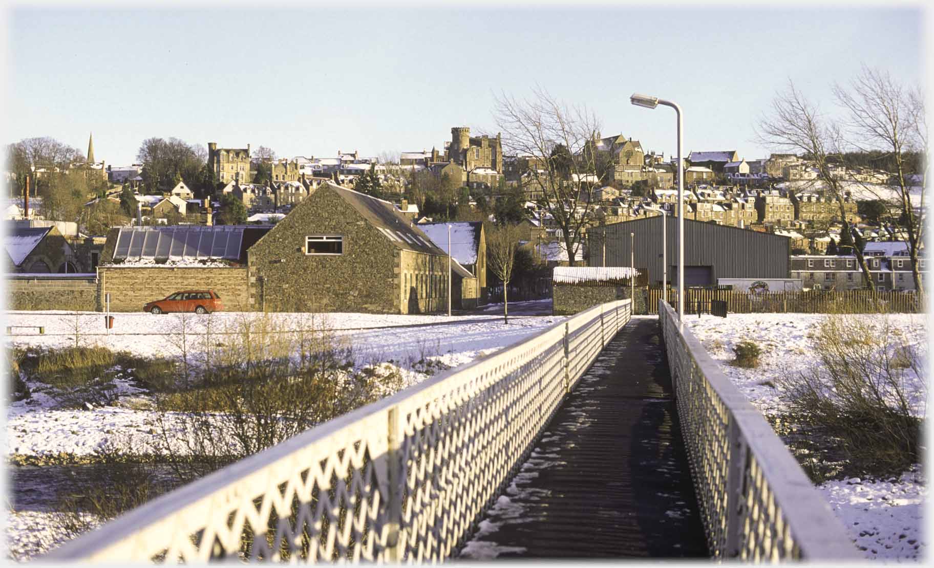 Approaching Selkirk from the west, the striking skyline...
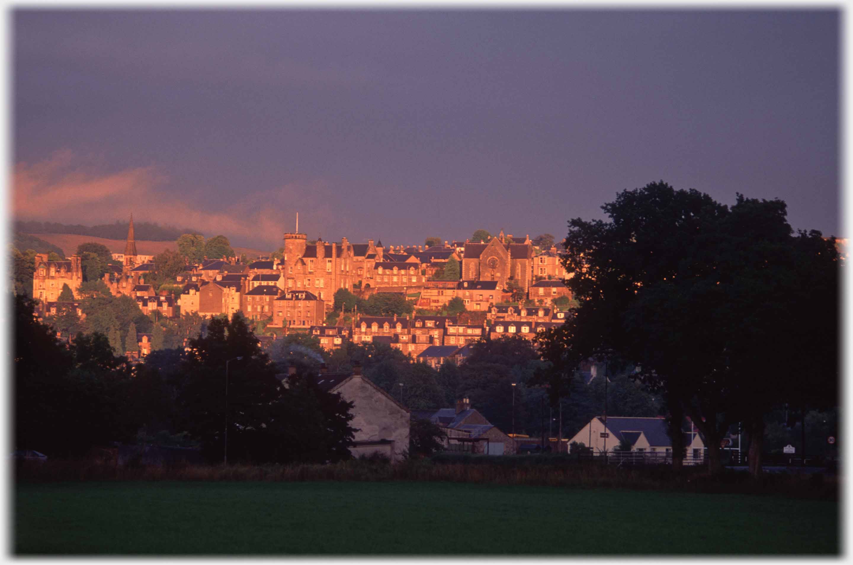 Making clear that the town faces west - a slightly freakish sunset warms it up
Trailers...
 The next Picture Posting
page takes you further up the Tweed Valley to Peebles.
 The next page
of the Mosaic Section is headed 'Poor Equality'.
Or go to the contents Go to the contents of the Mosaic Section. of the Mosaic Section.

 Around an Indian community - some people

 ...guide to this site