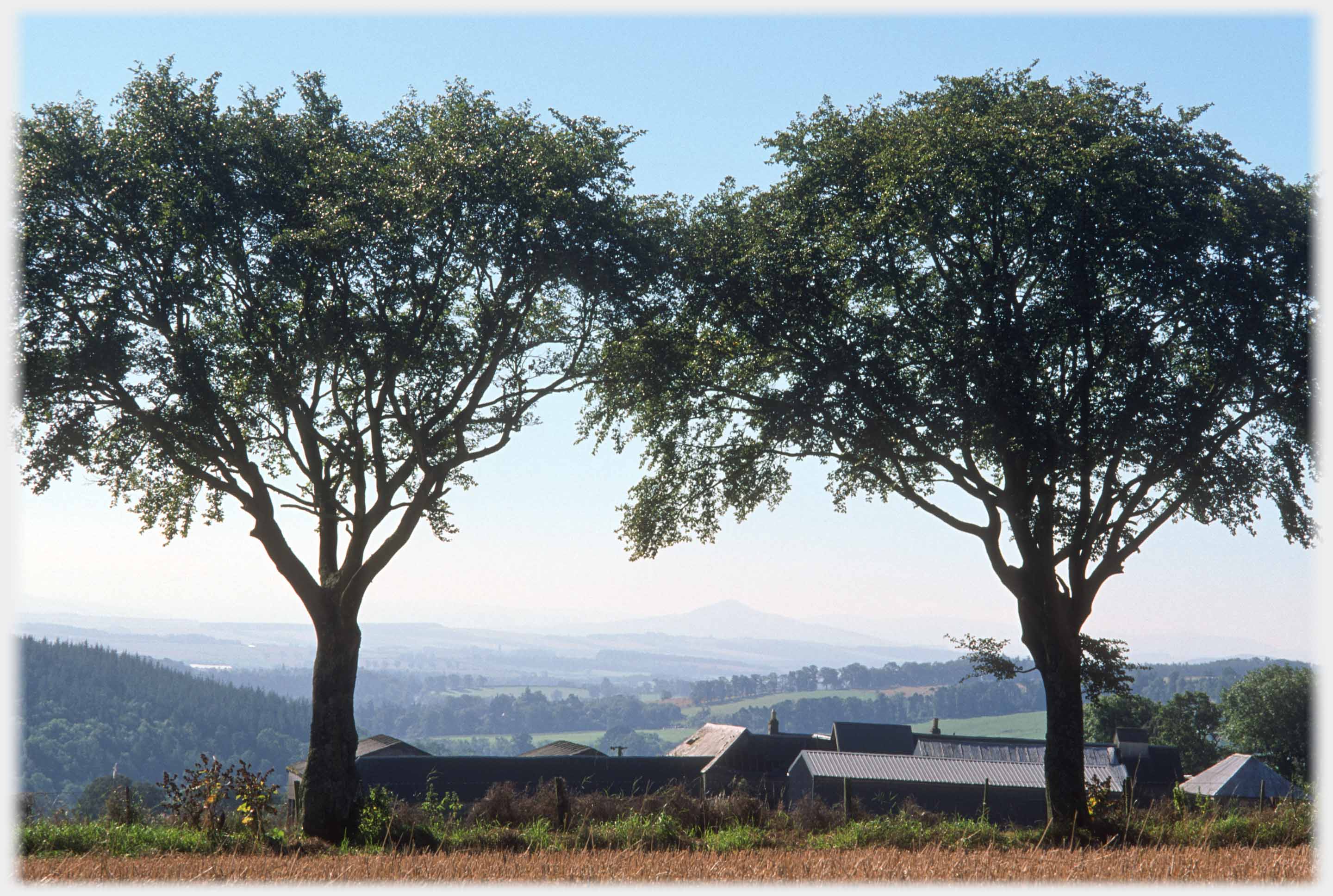
 Rubers Law is not a high hill, but the way it stands alone, with its classic volcano shape, makes it a familiar feature at the centre of the Scottish Borders - here seen mistily from the north
This Picture Posting page differs in two ways from its fellows. Rubers Law, the hill just outside Hawick in southern Scotland, has featured in my life from when I first went up it at
a tender single figure age. In
addition this page has the small
representation of a 360 degree
panorama taken from the top. Such
a full circle means that the original
set of files needs towards four...
... gigabytes of space - far too much for an internet image. So what appears below is at a very low quality - should your farm be featured, I can supply a full resolution image.
Rubers Law is not high, some 1,392
feet (424 metres), but its isolation
means its stature is greatly
enhanced, and it can be seen from
all directions, standing out like
the typical volcano that it was.
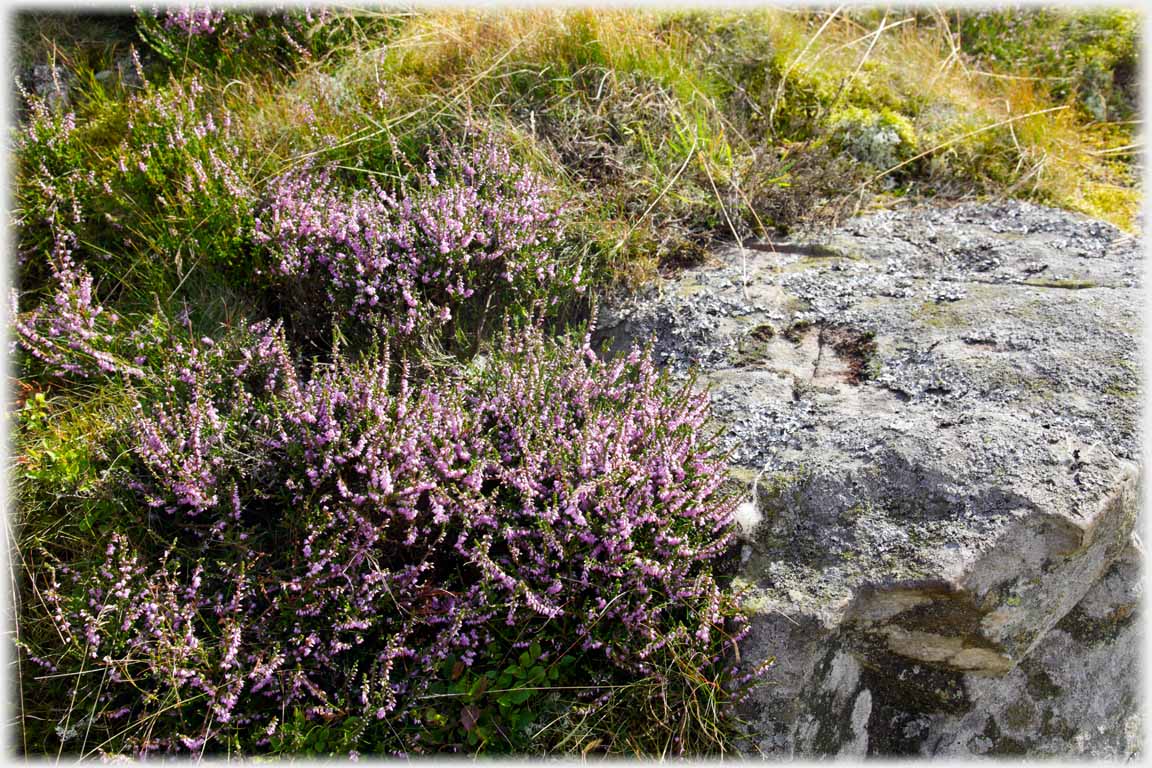 Heather, rock and grass - of which Rubers Law is largely composed
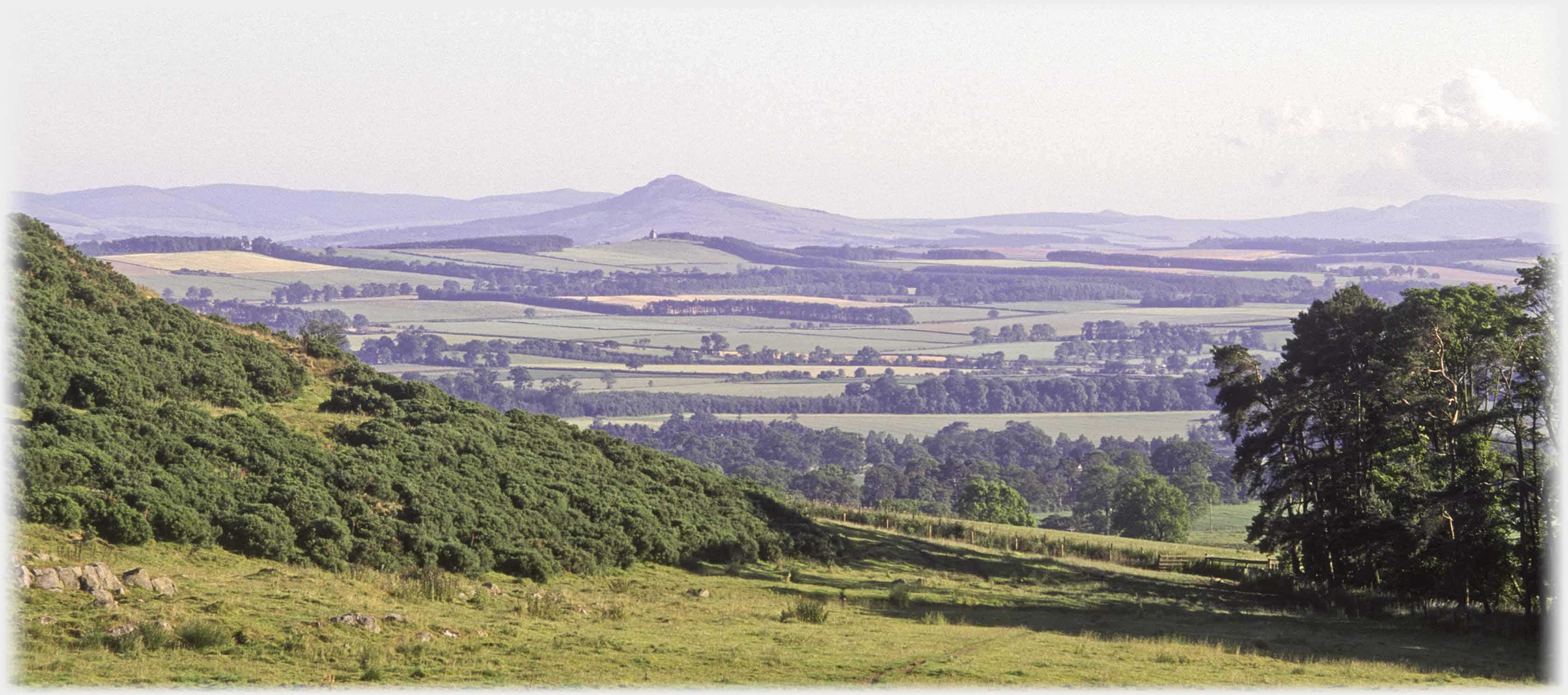 Rubers Law as it is seen on approaching the area from the south west
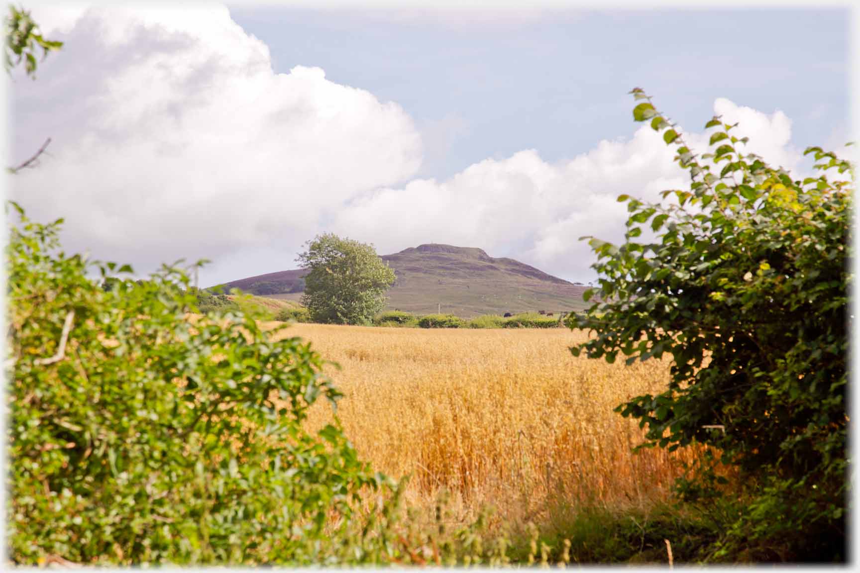 Before starting the walk, a view from the road
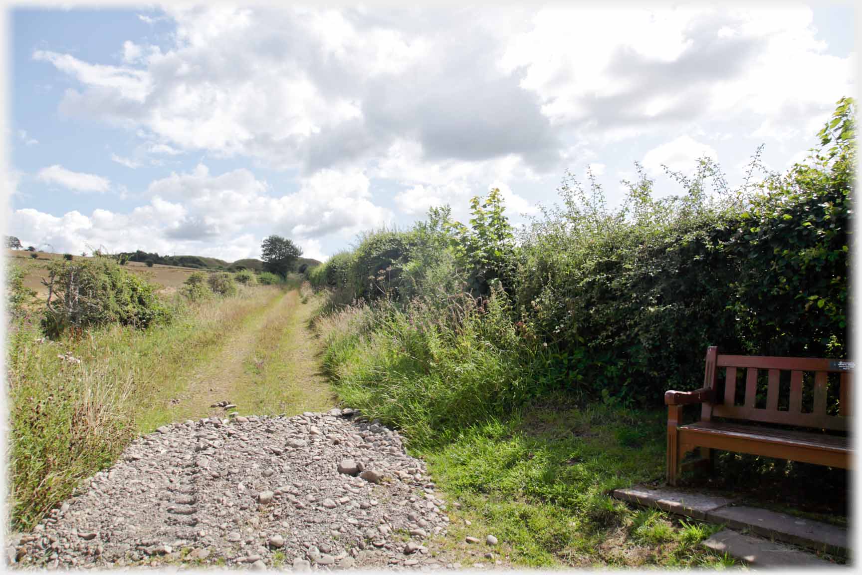 A seat at the bottom of the hill - the only one
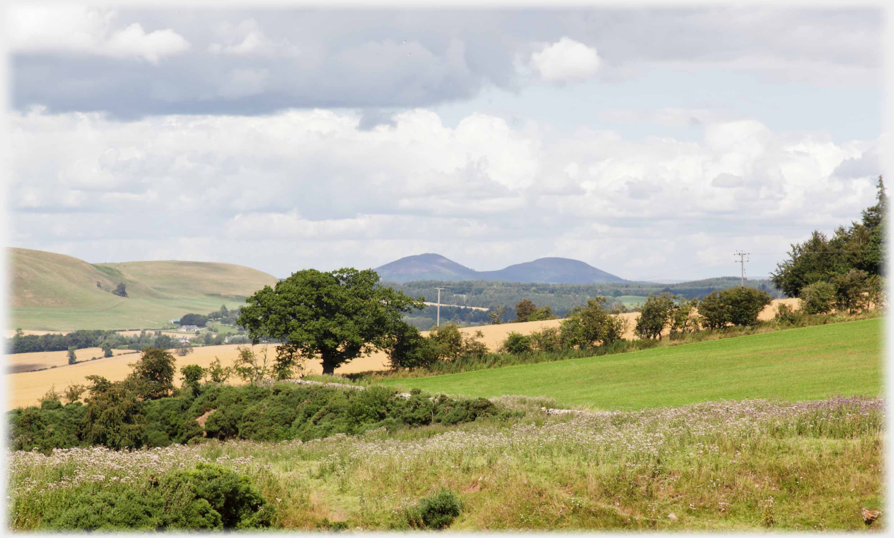 In the distance two of the Eildon Hills seen from the lower slopes of Rubers Law,
Minto Hill comes in at the left
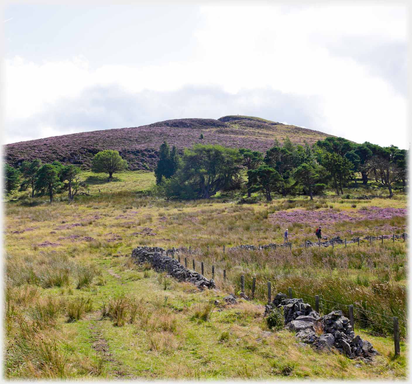 Walking up from the path of the heather...
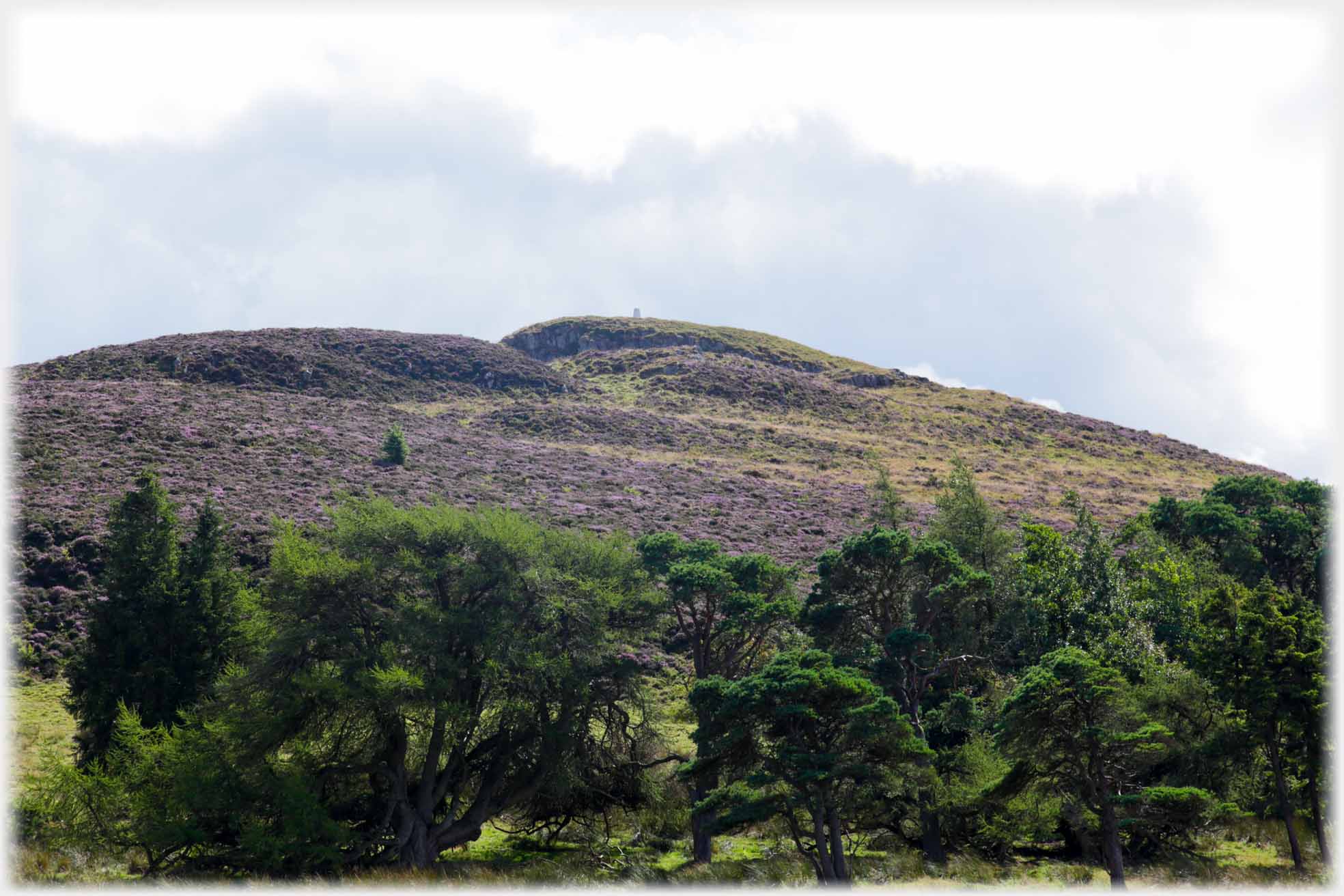 ...covered hill, the triangulation point on the hilltop, comes into view
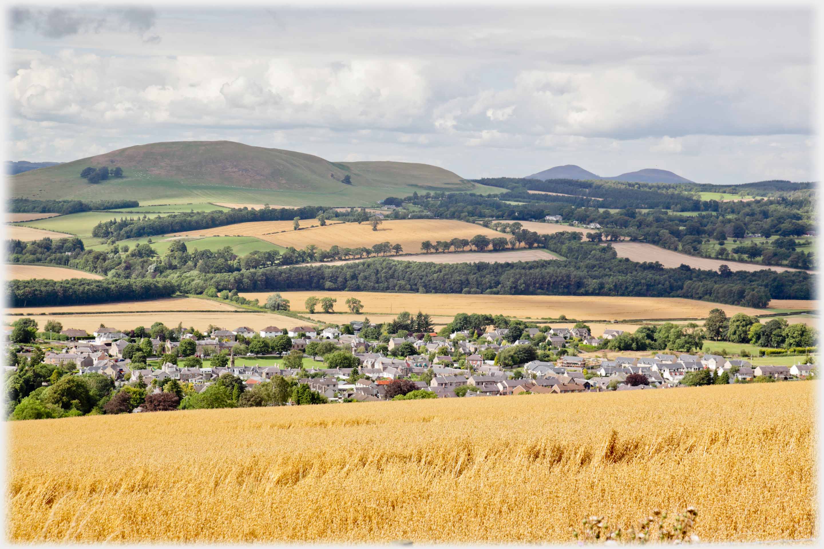 Once height is gained, the village of Denholm can be seen below, with the Minto Hills beyond it, and the Eildons again in the distance
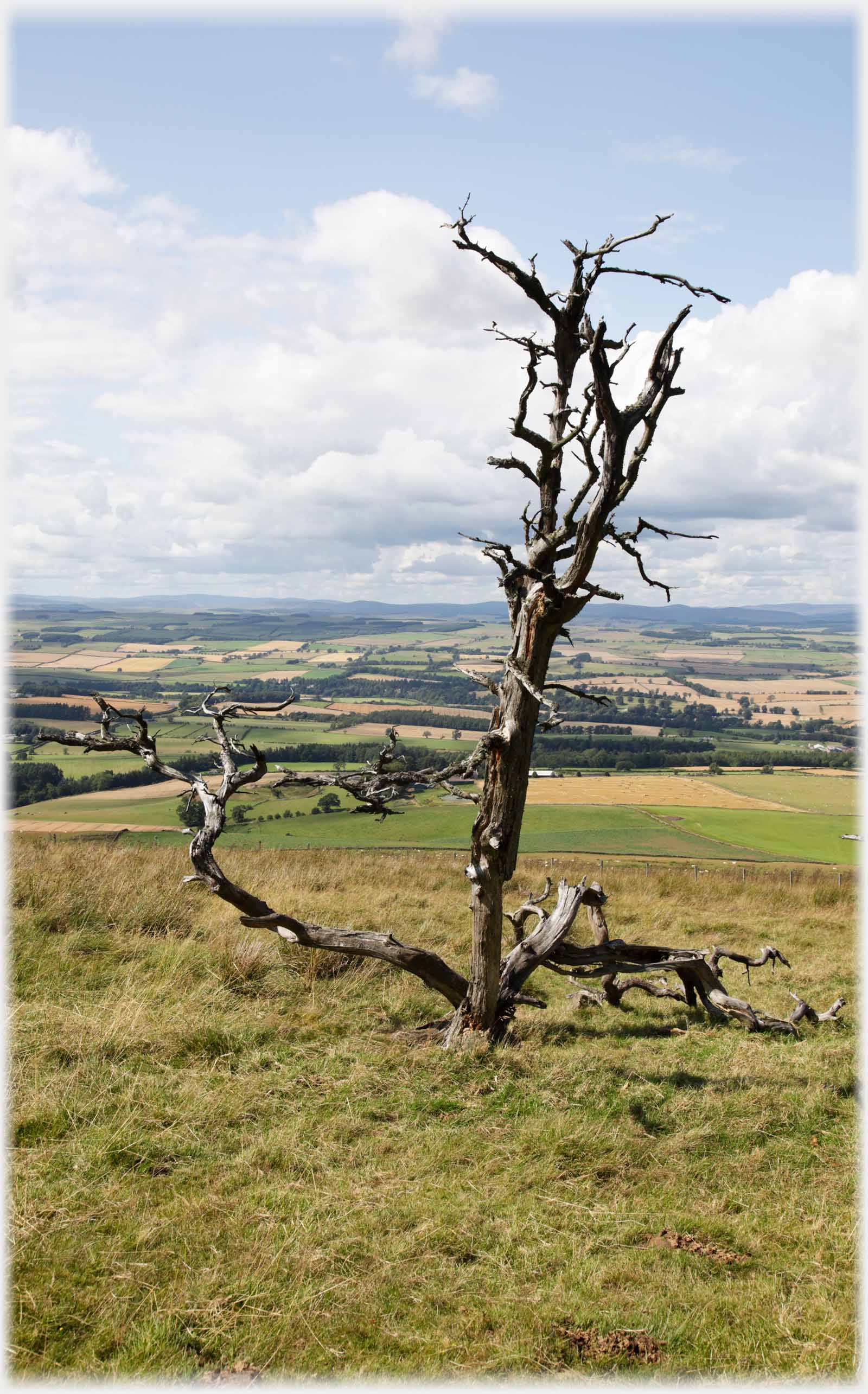
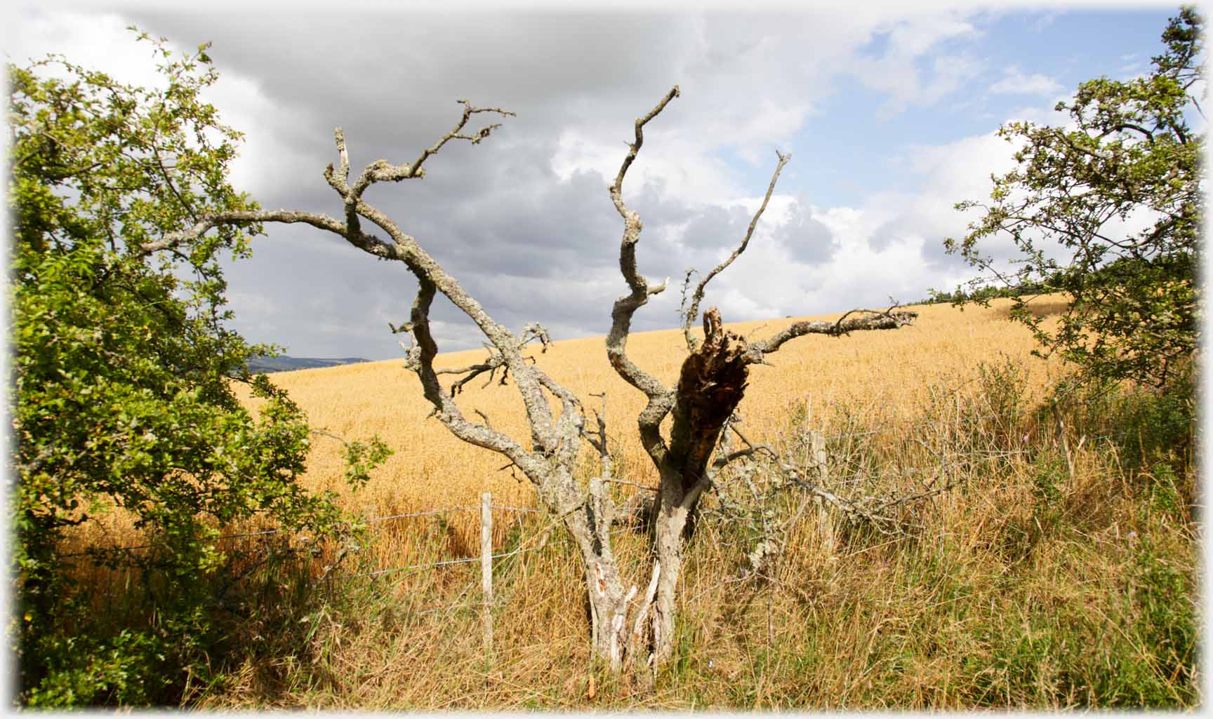 A number of these dead trees dot the hillside,
offering what might be decorative
possibilities in rustic homes
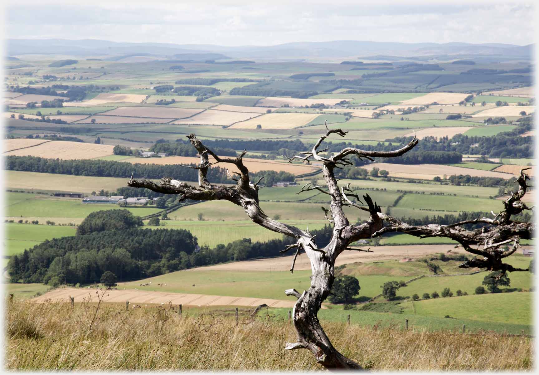
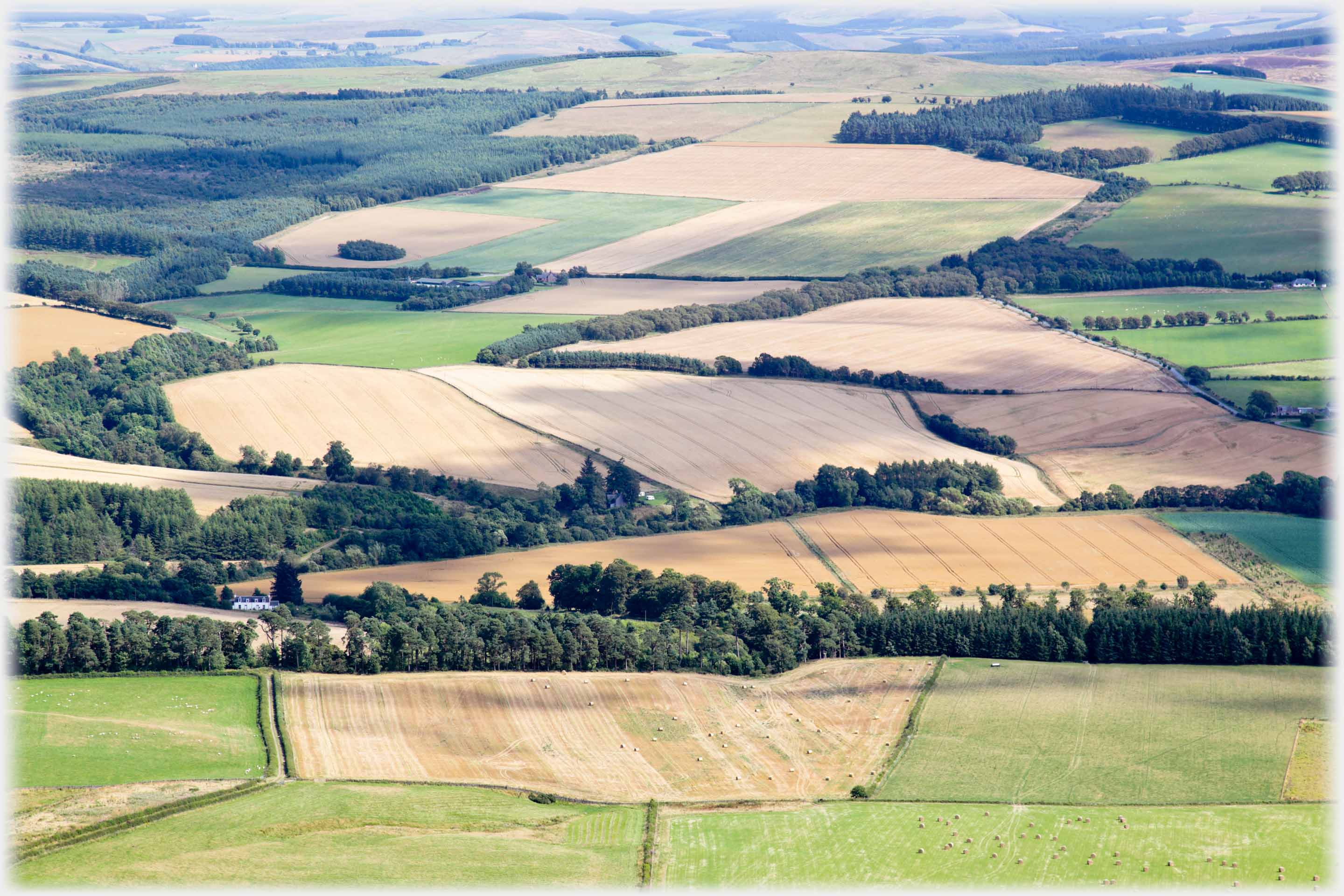 The pattern of fields in August
A clip of film from the same place as those heather shots above
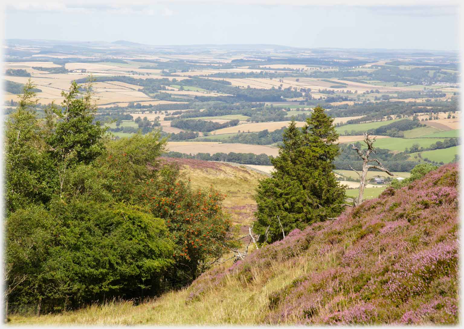 Looking out from that hillside northwards
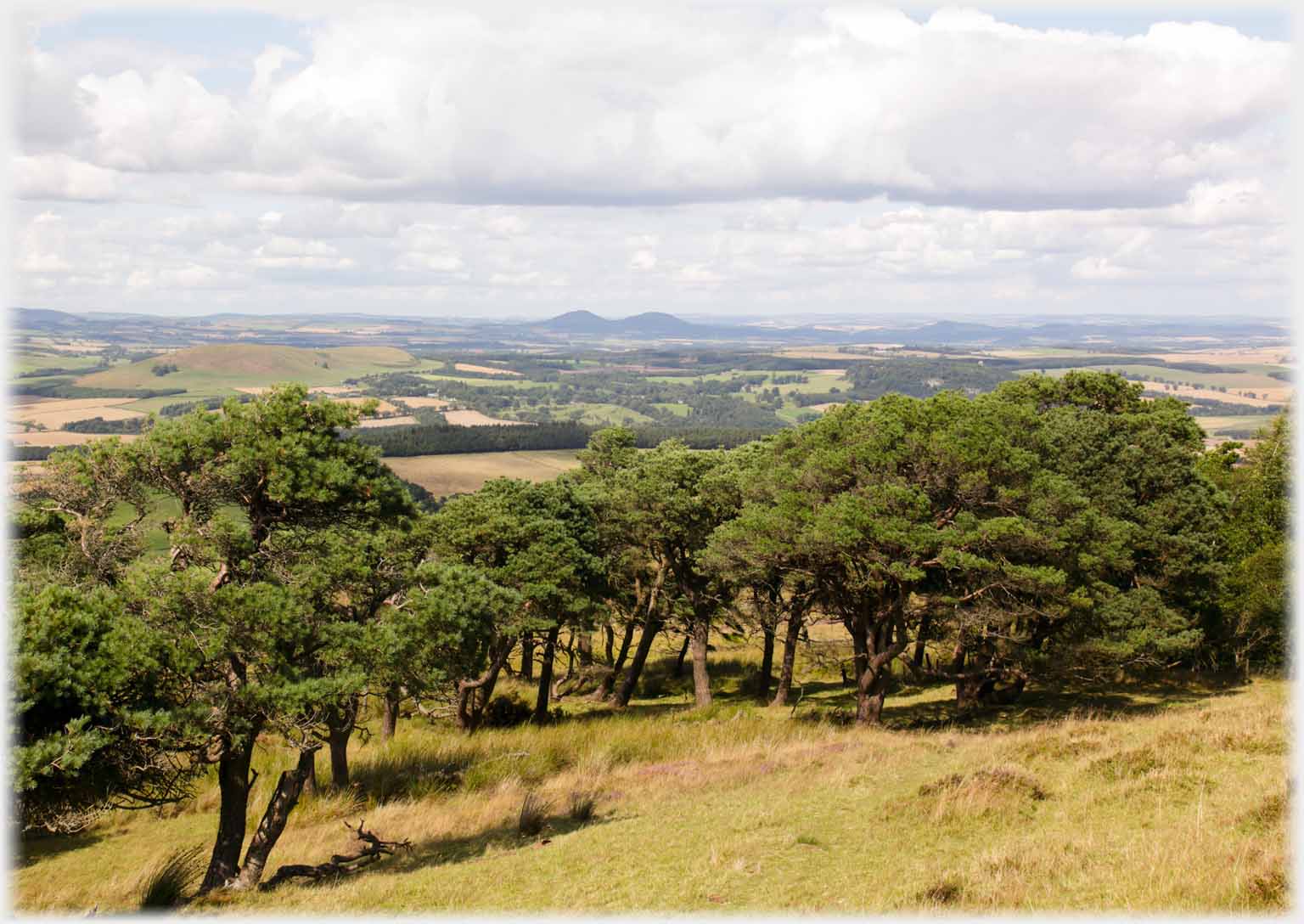 The Eidons look far away. These distant views mirror how Rubers Law stands out from all directions
A short clip of film from the hilltop, the wind making it too unsteady to show more
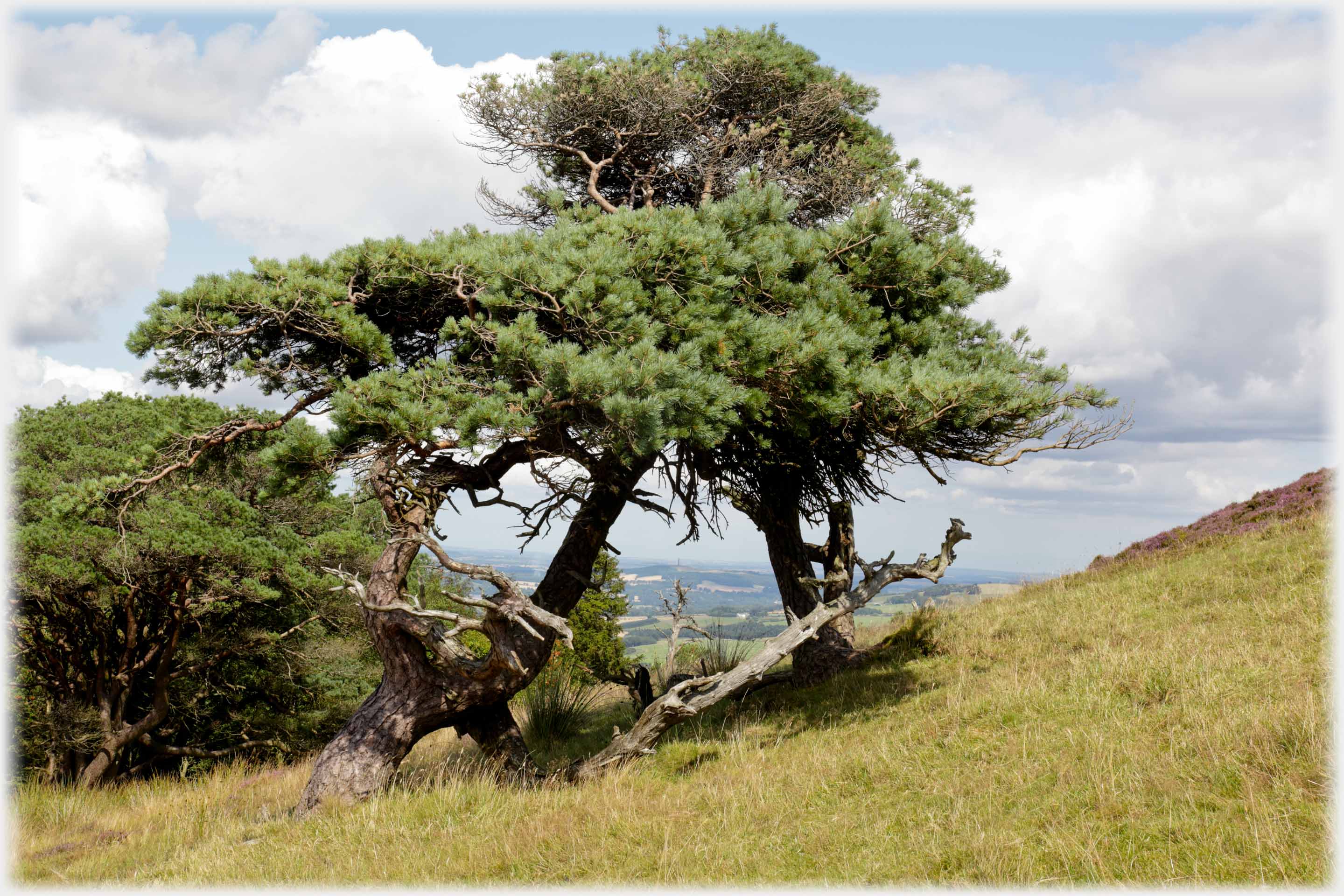 Pines framing the distance, at the centre is a minuscule 150 feet high Waterloo Monument
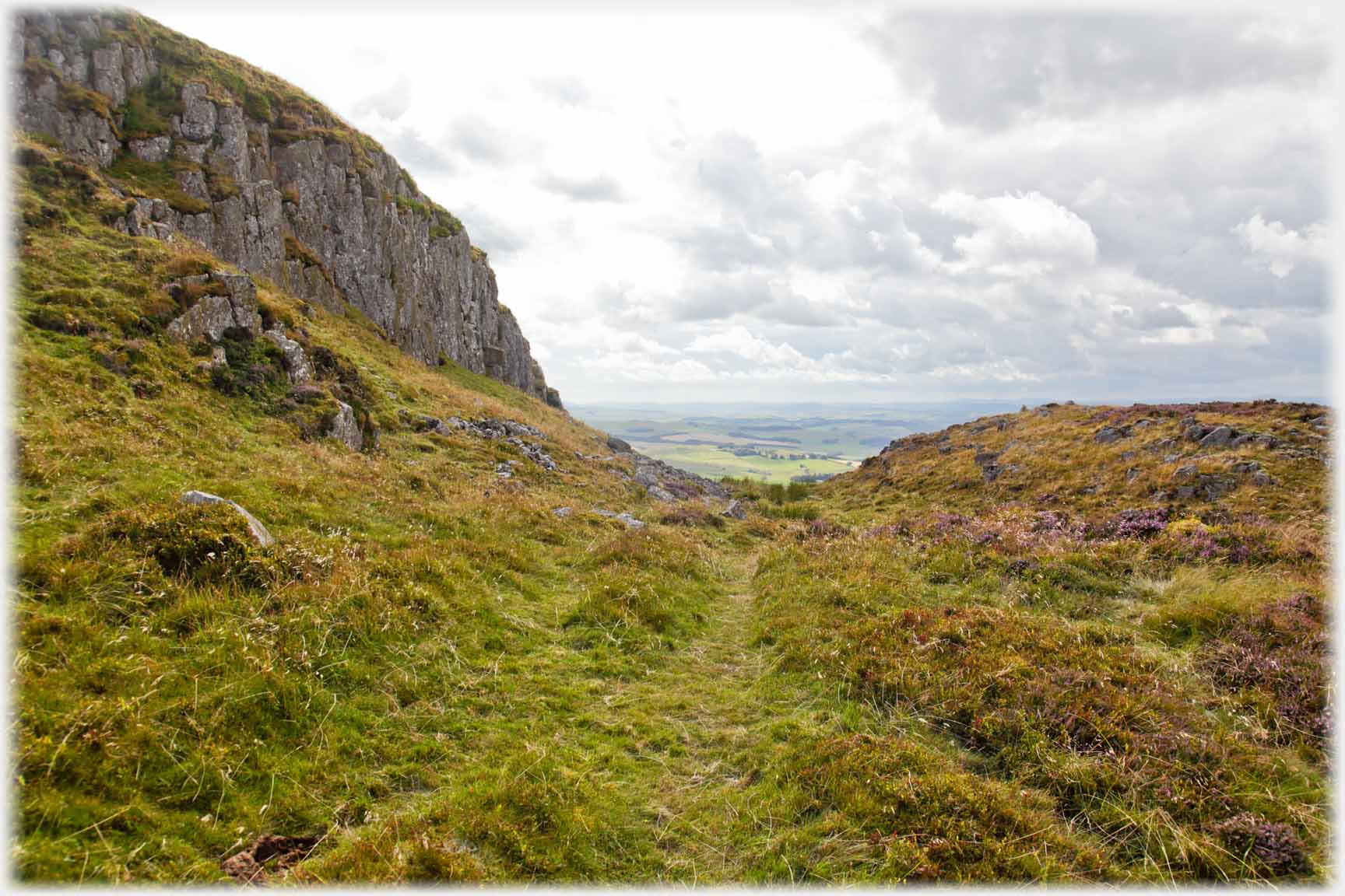 At the top of the hill the path reaches...
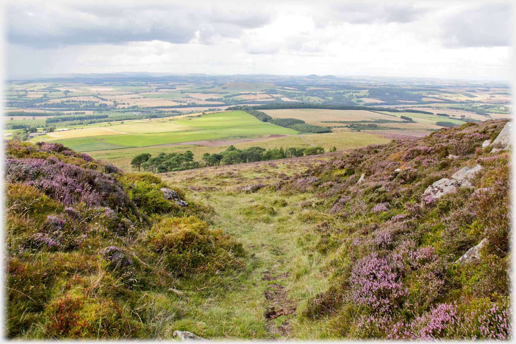 ...this defile with the tiny Eildons just visible

On the top of Rubers Law is this toposcope with local hills and features; together with some very distant places around the circumference. Apologies the mice got to one side Below are the six composite shots from the top of the hill which make a 360 degree view. Each is composed of four high resolution photos so the resulting whole is of considerable size. The original offers great detail of the farms, hamlets and communities in the surrounding plane, however, to make it accessible over the internet the quality has to be drastically reduced. You can magnify the shots to some extent, rather depending on the 'device' in use. And I can send parts to you.
 From the town of Hawick, centre left edge, north-westwards
 The view to the north west with the Eildons in the centre
 Looking out to the north over the flat lands of the Tweed Valley
 Towards the Cheviot - the slight rise to the left - and southwards
 Carter Bar and the south-west
 And back to Hawick now showing at the right hand edge of the photos
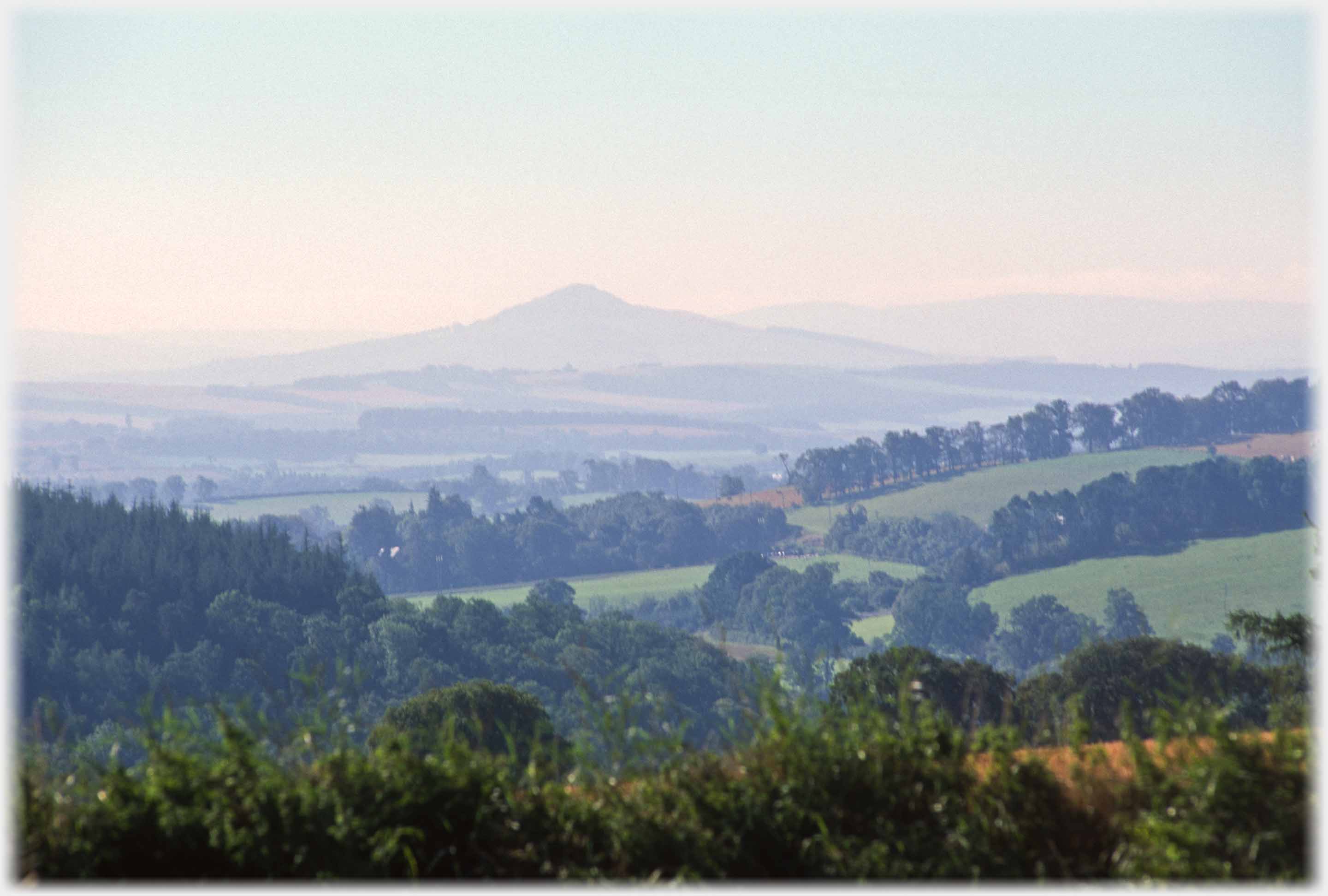 Leaving Rubers Law in a slight evening mist
Trailers...
 The next Picture Posting
page takes you back to Vietnam: from the peace of a Borders' hill to the turmoil of the Hà Nội traffic.
 The next page
of the Mosaic Section is headed 'Becoming Clearer'.
Or go to the contents Go to the contents of the Mosaic Section. of the Mosaic Section.

 The last page of this section had photos from around Yetholm
 A couple of photos of a mountain I will never be on
 ...guide to this site