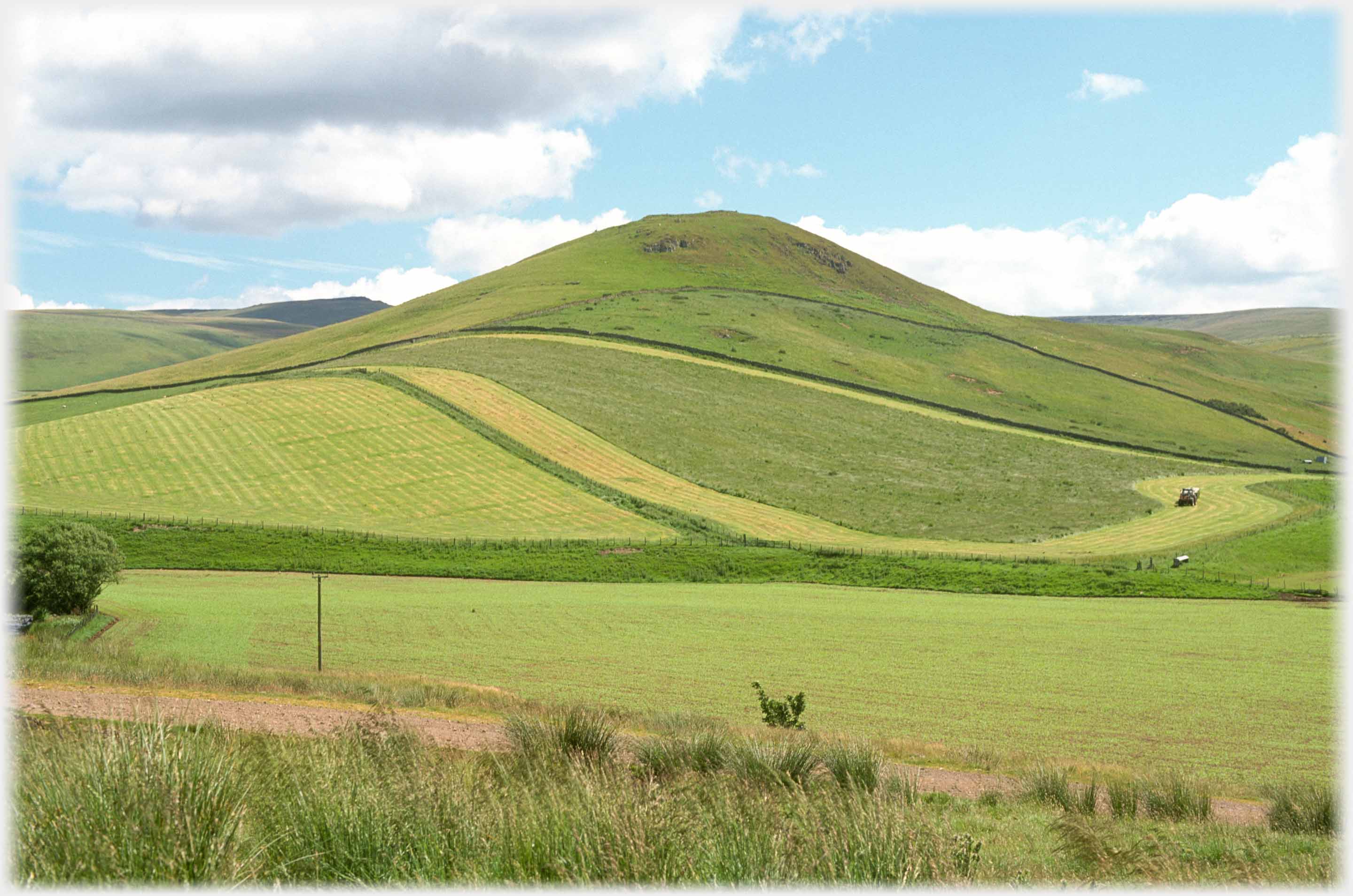
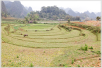
 A farmer cutting swathes of grass to make an art work of the hill - Park Law - which lies at the junction of Sourhope and Cocklawfoot burns, just to the south of Yetholm
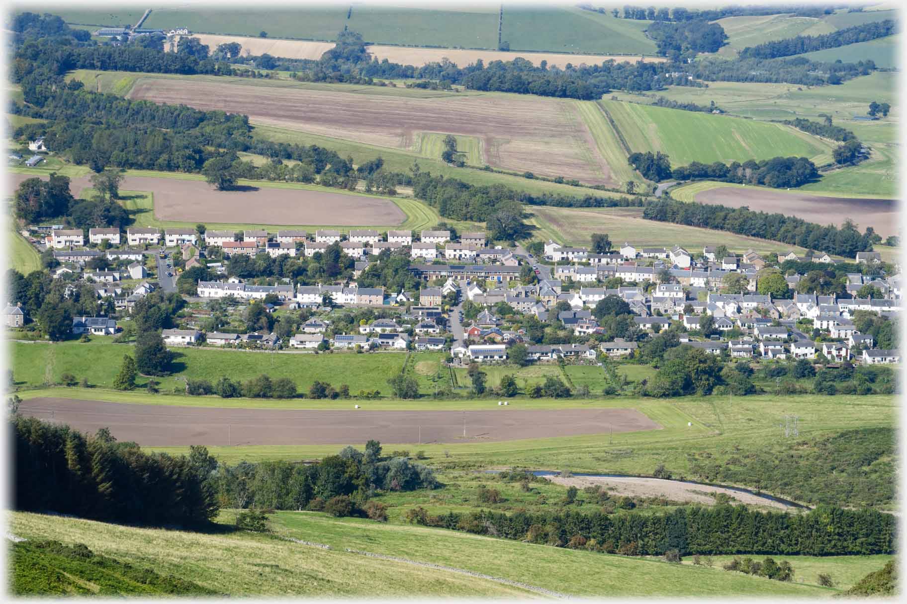 Looking down from Staerough Hill at the village of
Town Yetholm This page goes south from Kelso to the two (almost) joined villages of Town Yetholm and Kirk Yetholm. These have become more conspicuous since the opening of the Pennine Way which terminates at the latter village. This long distance path rises up from the village green and curves around the back of Staerough Hill and hence south through The Cheviot's foothills. The photographs on this page are taken from on and
around Staerough Hill, and beside
those foothills.
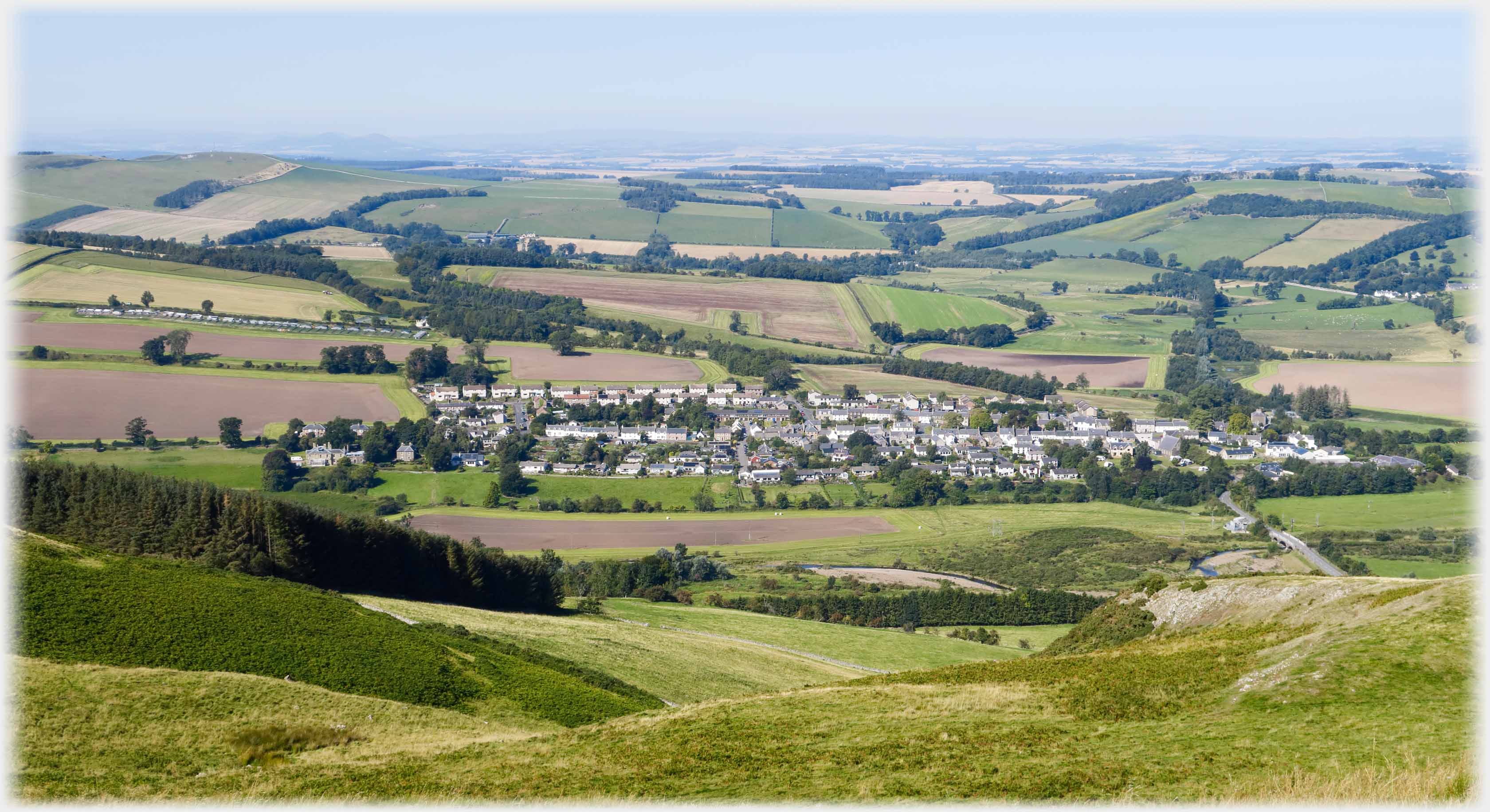 And a wider view showing how Town Yetholm relates to the flat plain of the River Tweed near Kelso
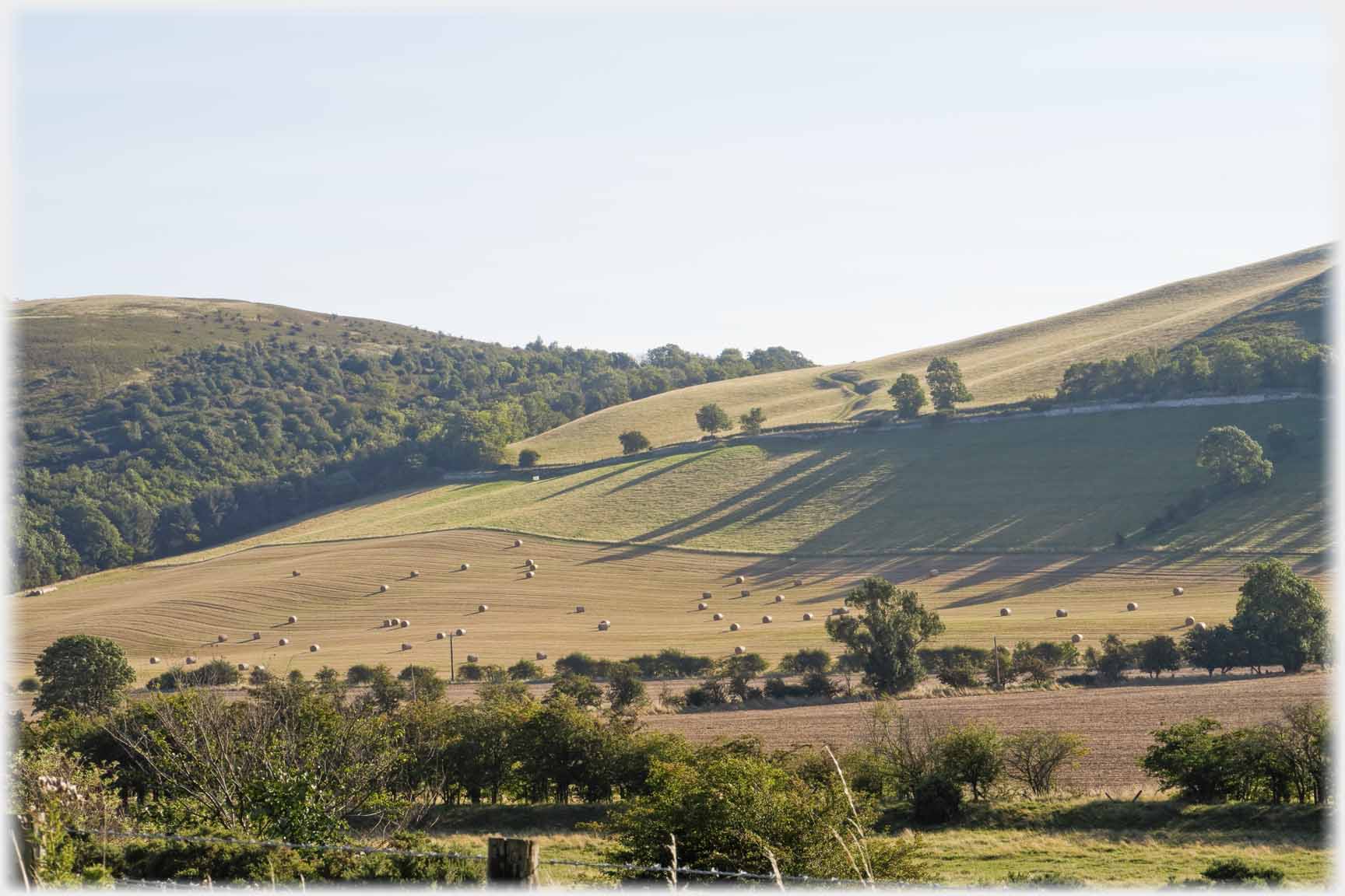 Morning sun casting shadows by Kirk Yetholm
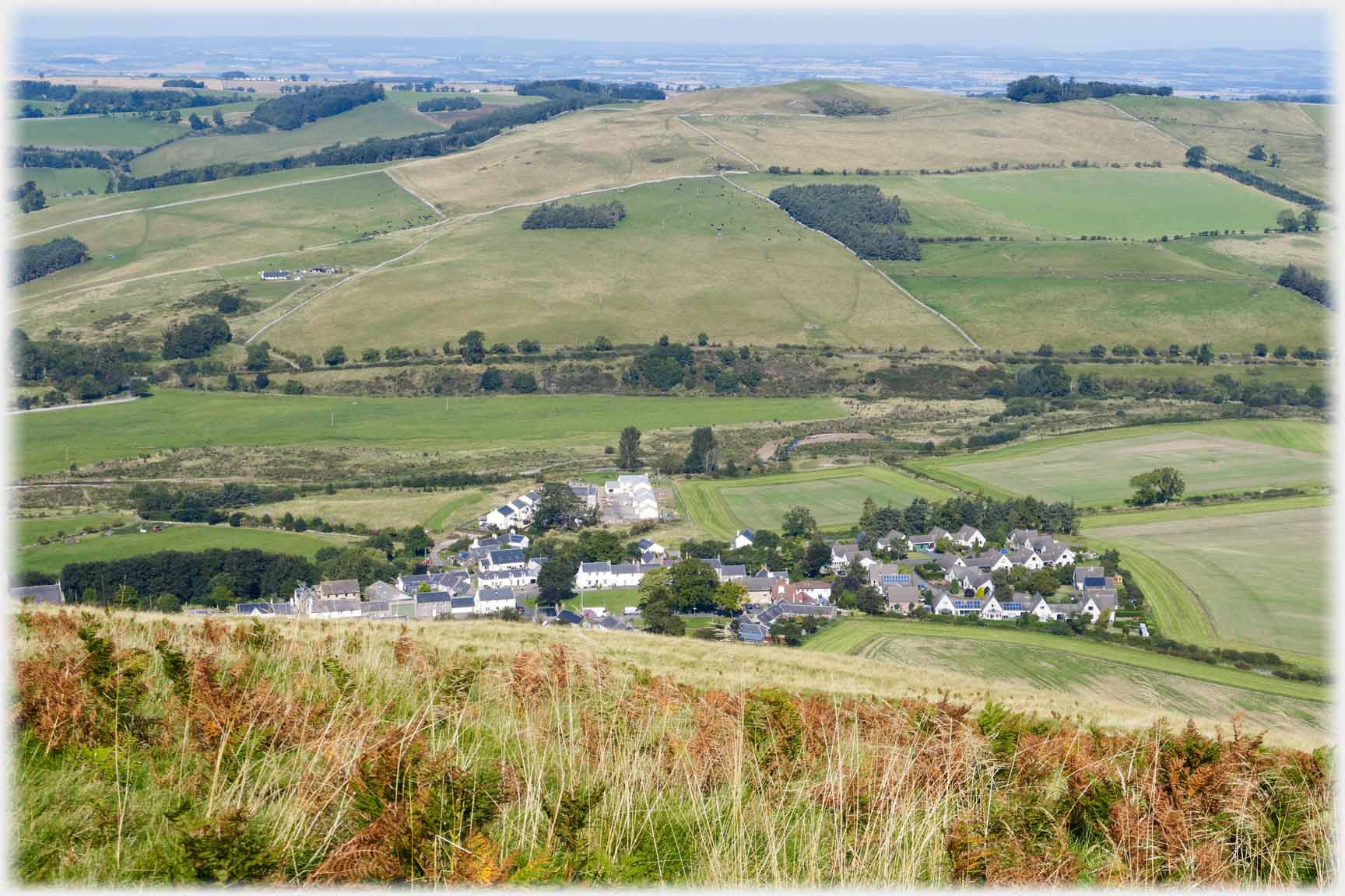 The village of Kirk Yetholm seen from Staerough
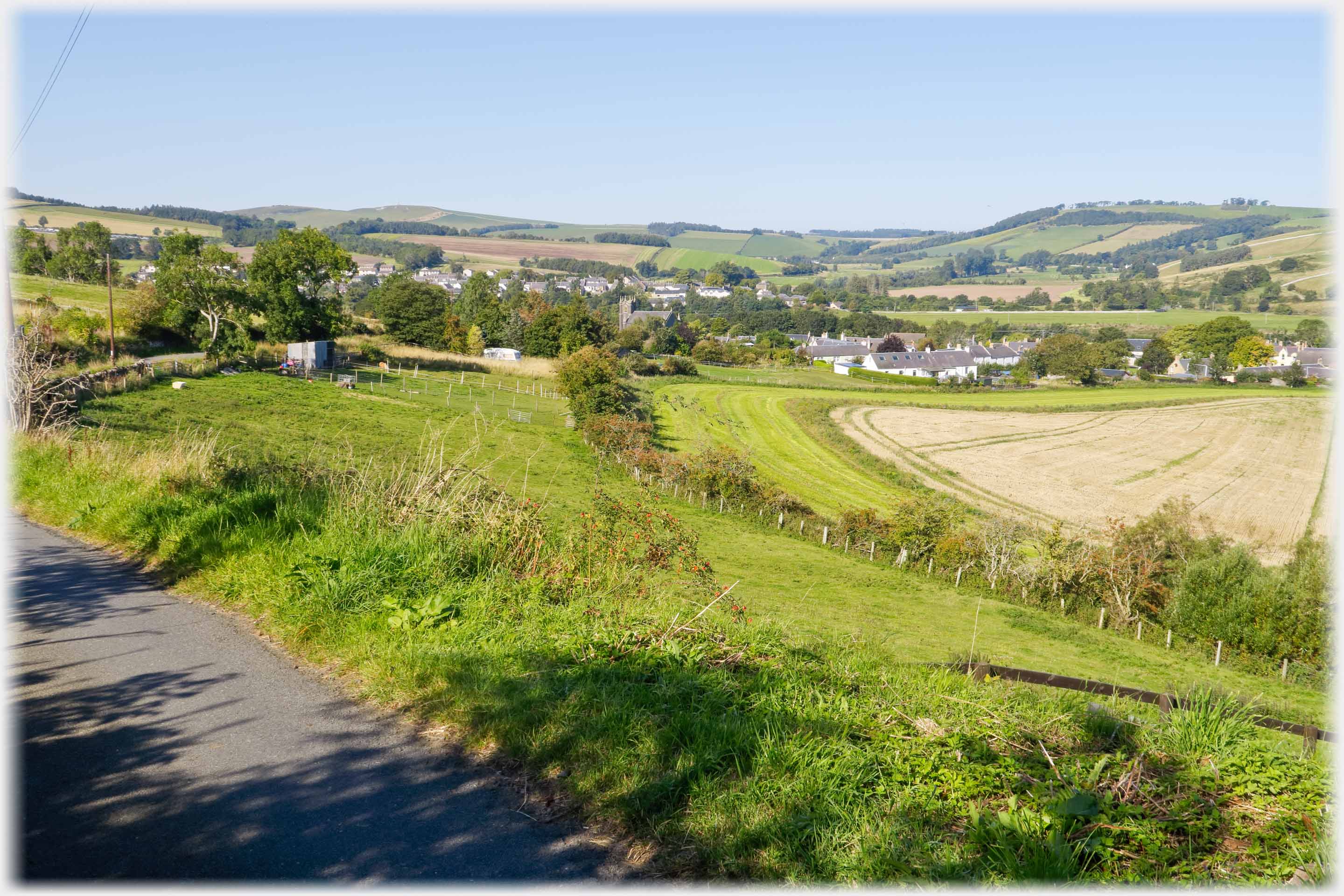 To the right Kirk Yetholm and further off Town Yetholm - the 'kirk' is at centre
of the picture by the trees
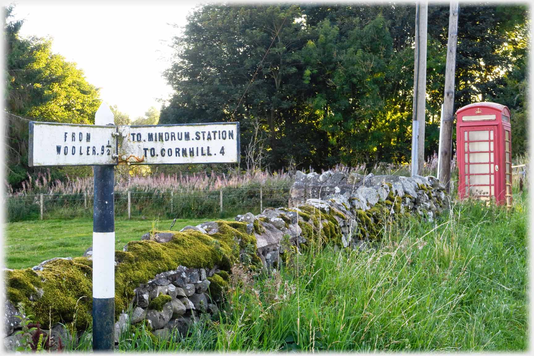 Sixty years ago the Wooler-Kelso railway passed within a couple of miles of Town Yetholm
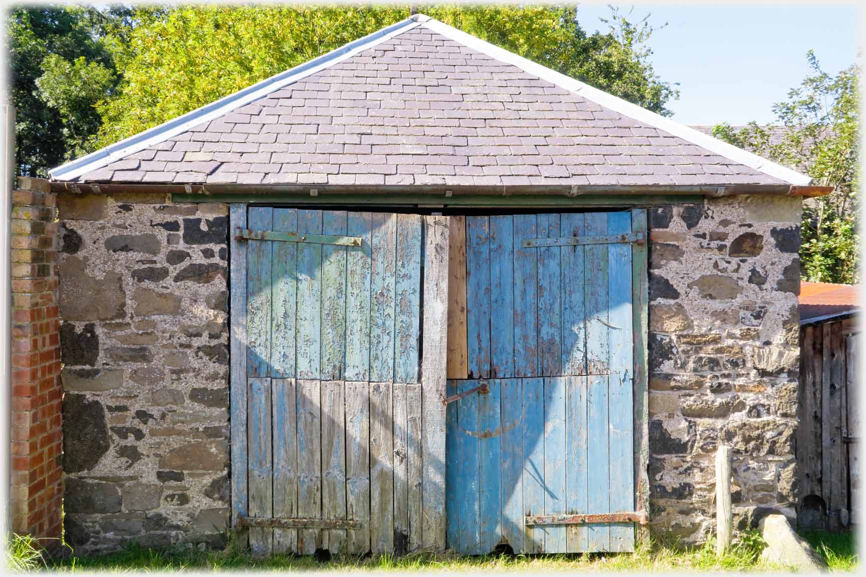 Obligingly, on many days, the sun still passes these Hayhope doors, a mile south-west of Yetholm
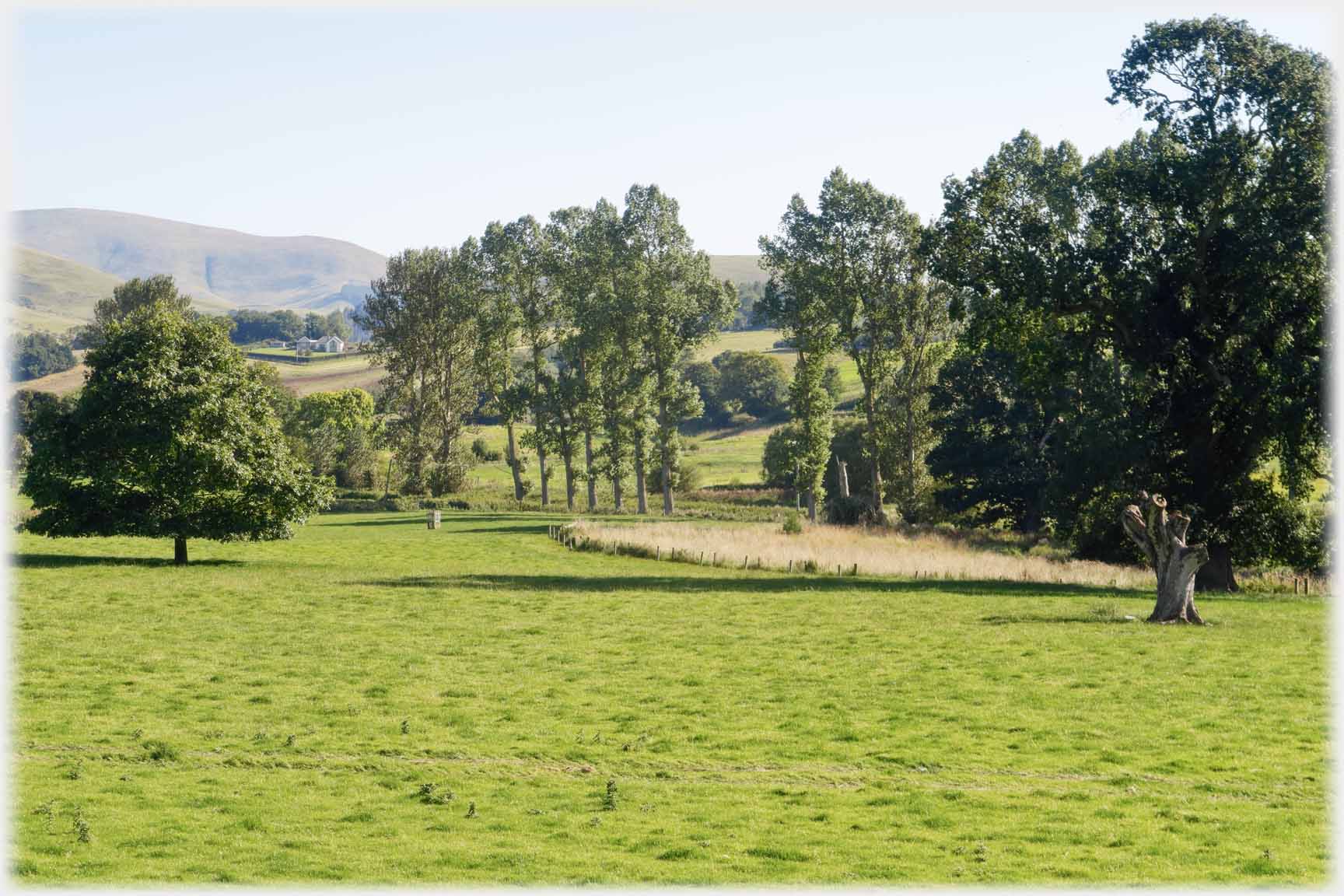 Parkland by Cherrytrees Farm just north of Yetholm with...
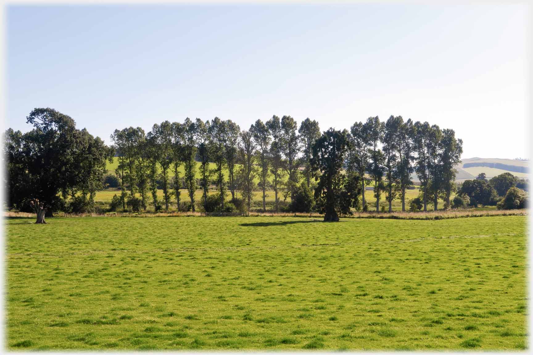 ...please correct me, what appears to be a row of elms
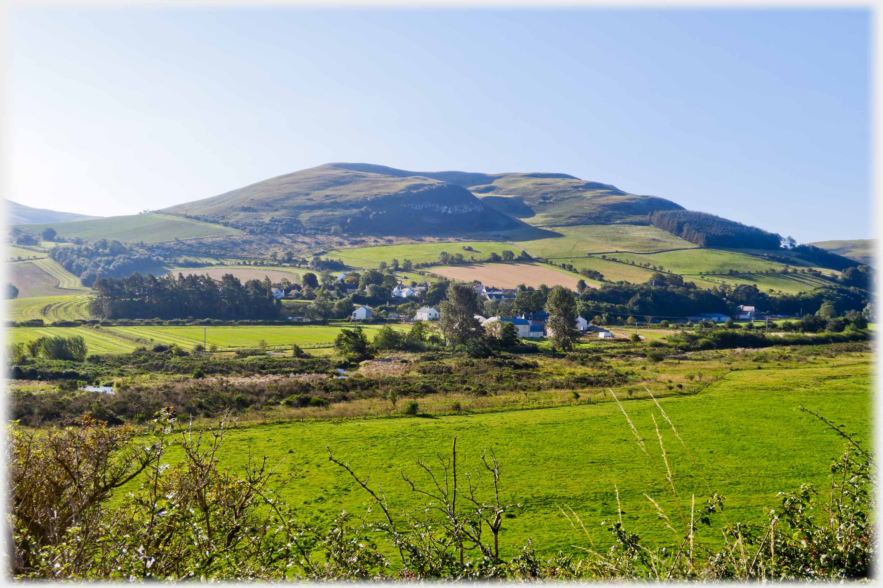 Kirk Yetholm nestles at the foot of Staerough Hill
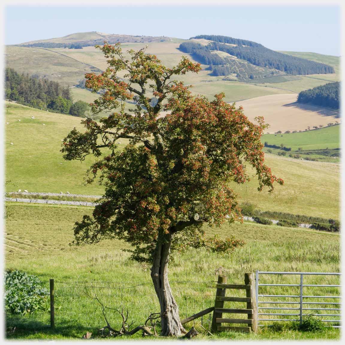 The walk over Staerough Hill brings...
...these views, and this clip of film from the top
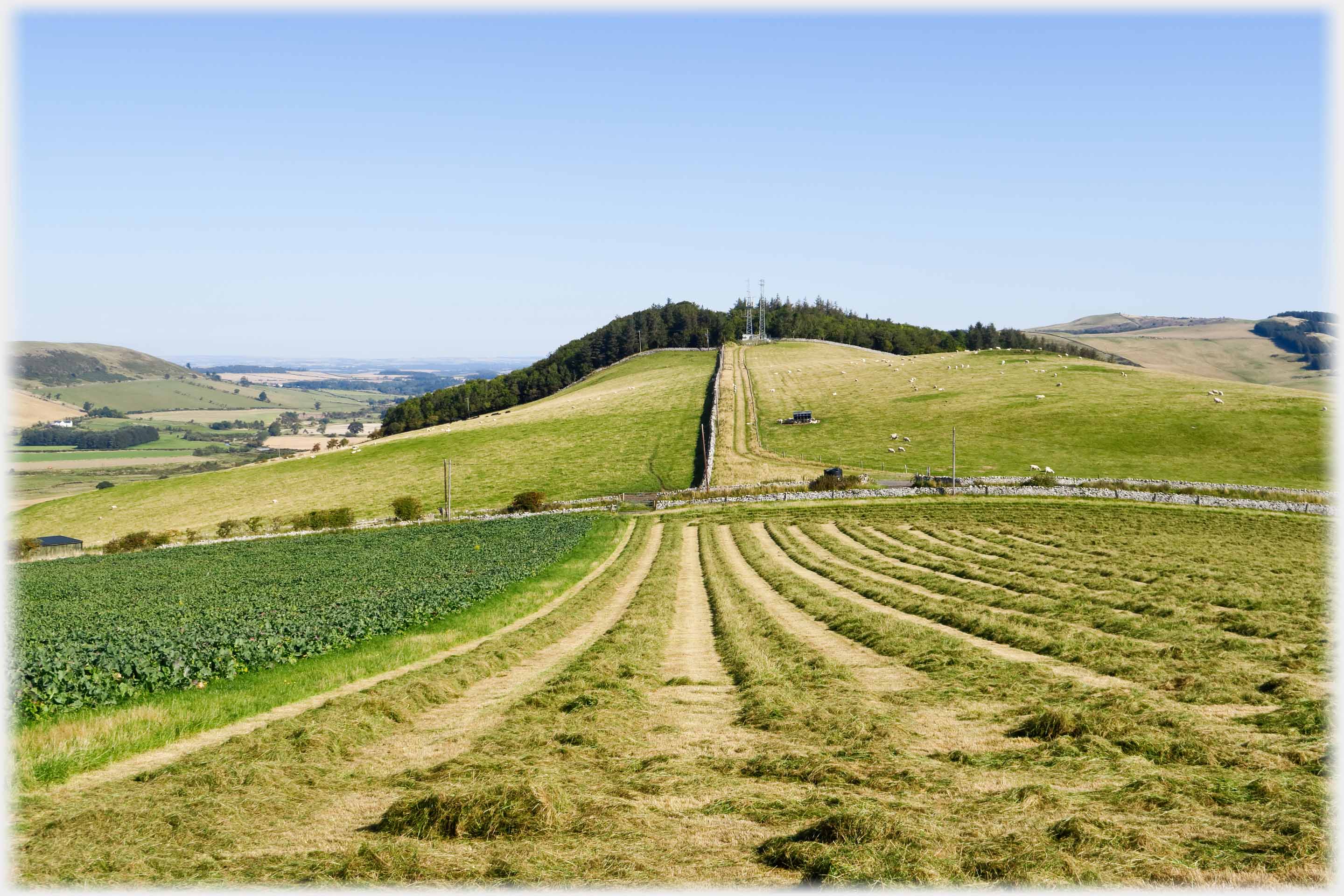 On the way up the hill, from Kirk Yetholm, looking back to The Loaning.
The Pennine way runs over this dip following the dyke
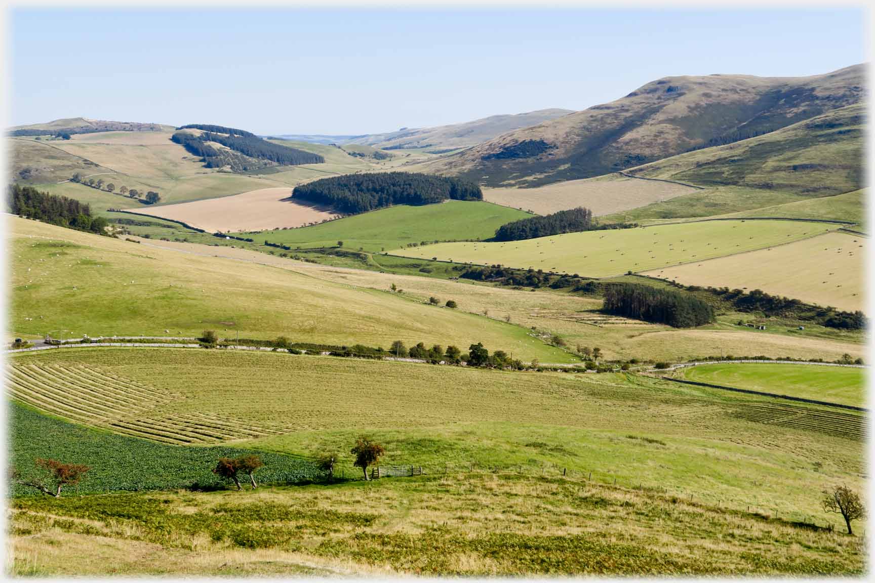 The Halter Burn area to the south-east
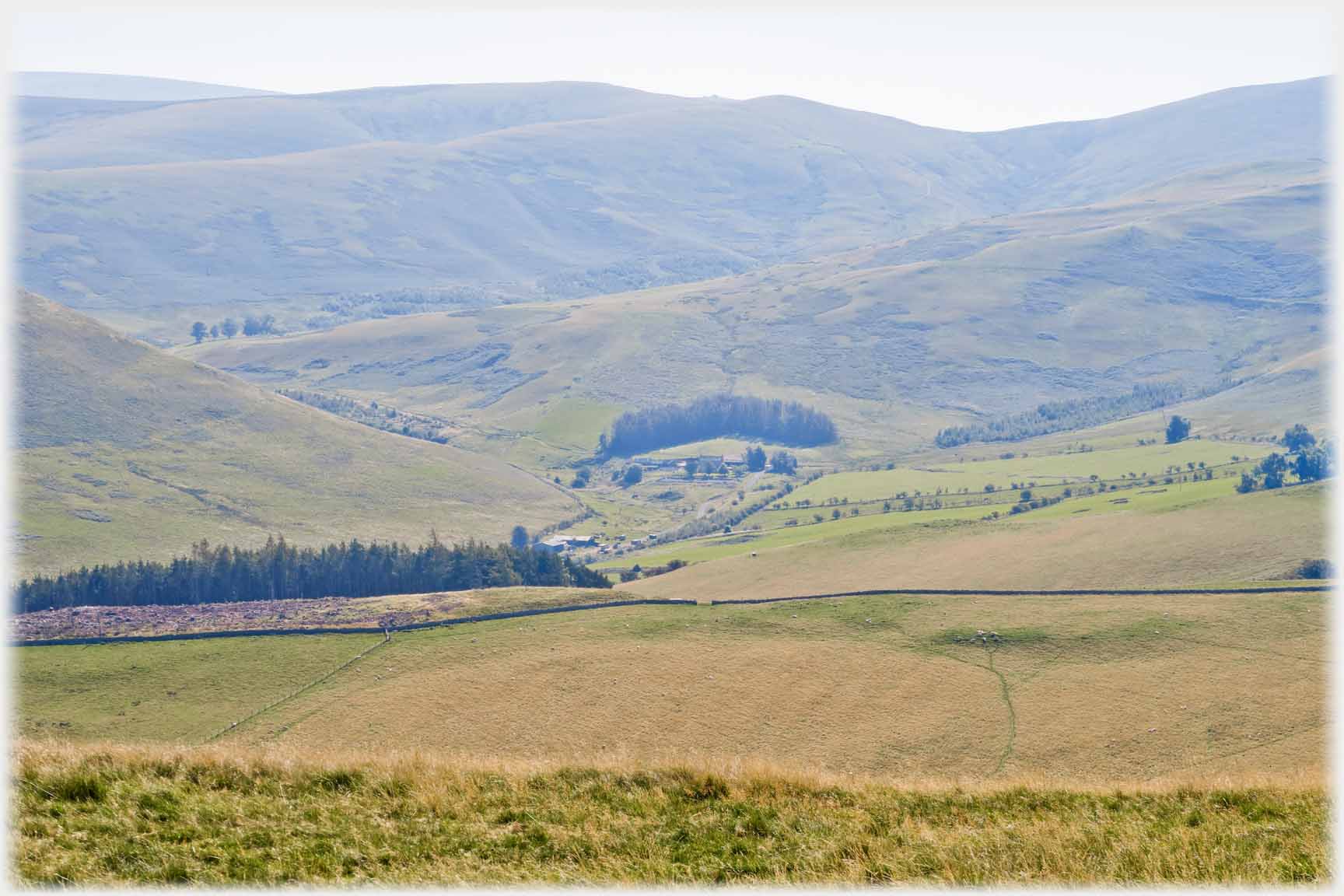 Burnhead Farm area to the south-west
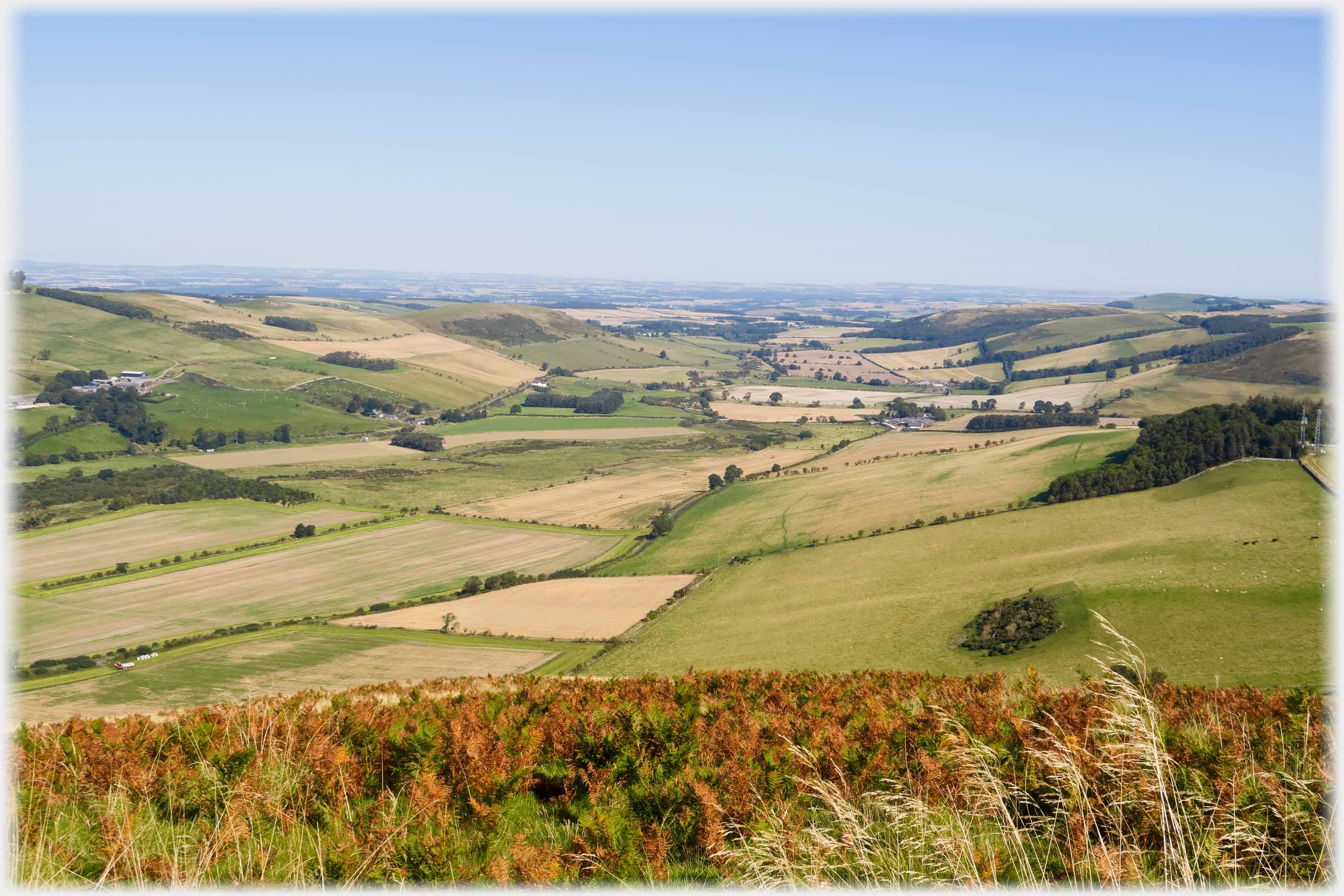 Looking east from the hill top out to the plain of Northumberland beyond Wooler
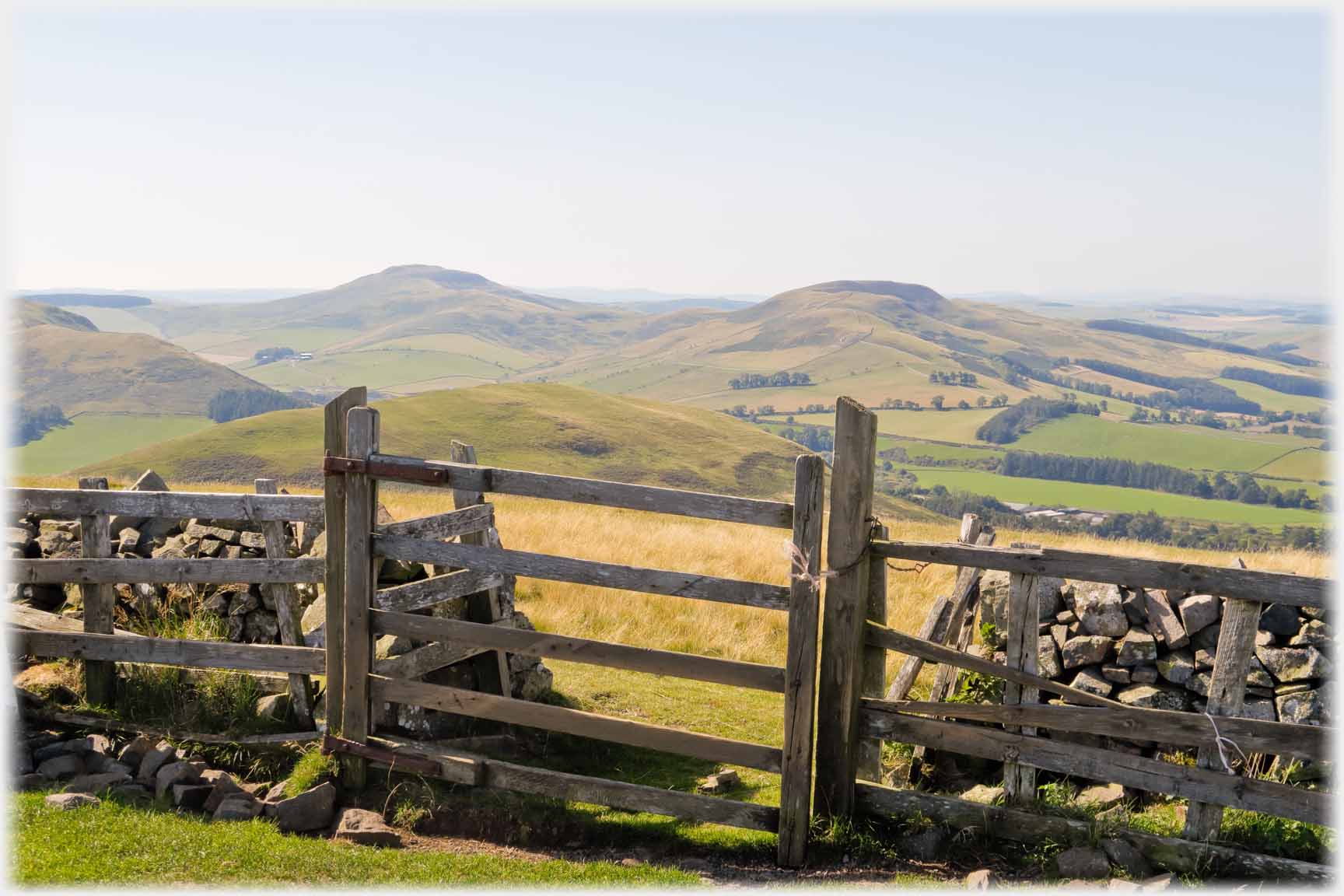 Two directions from Staerough hill top - south-east...
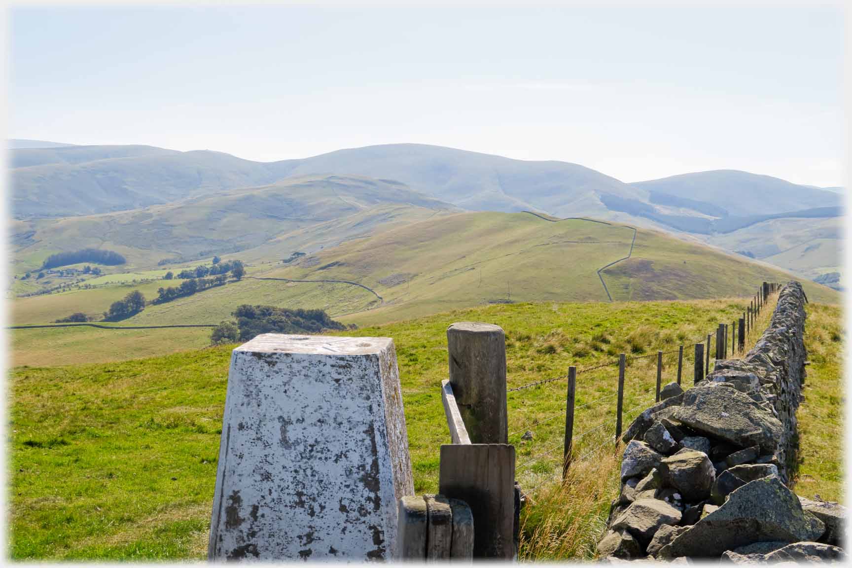 ...and south-west with The Cheviot to the left
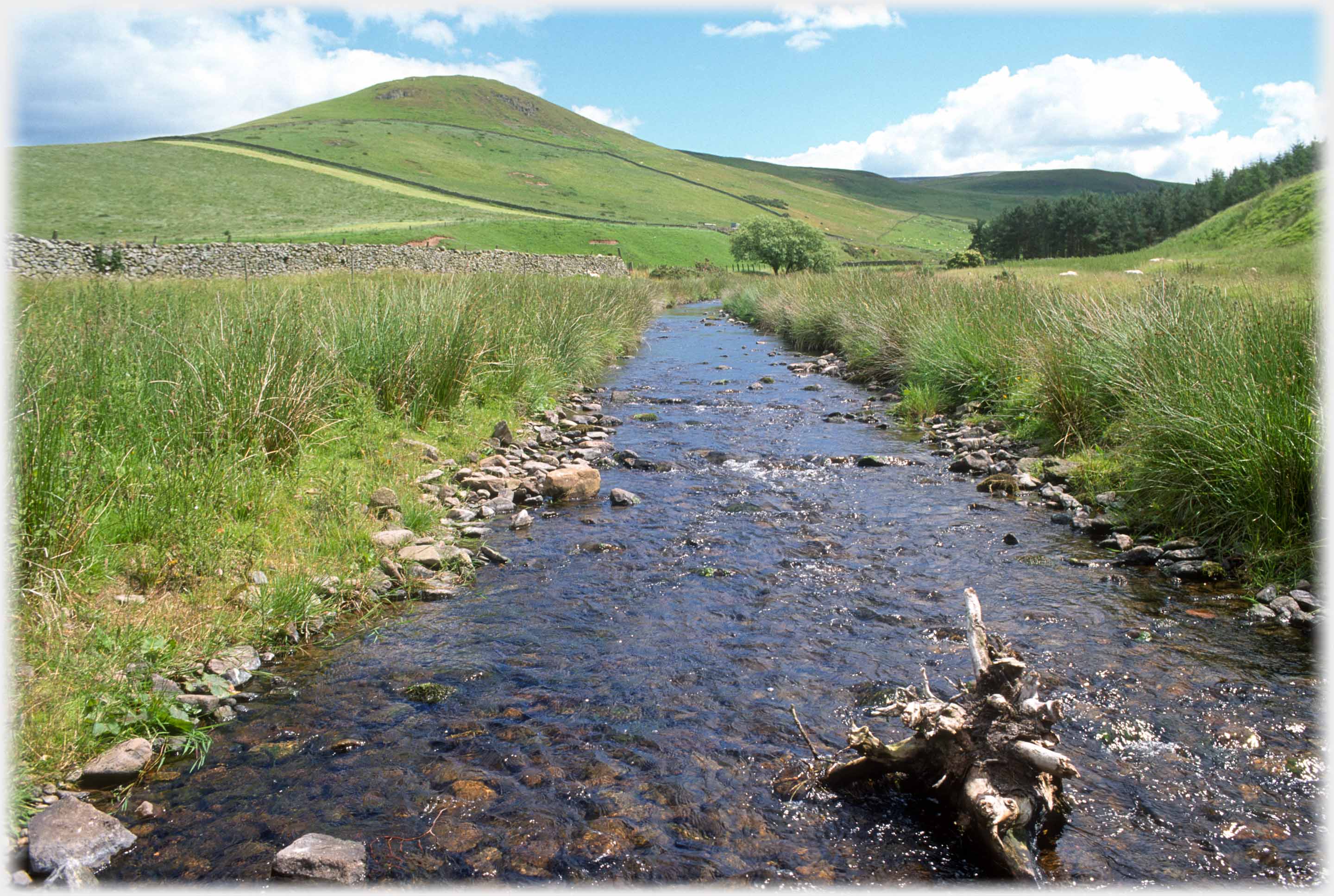 Bowmont Water running from Cocklawfoot. Park Law forms the backdrop, the top of which is the location of a fort, settlements and cultivation terraces - according to Ordnance Survey
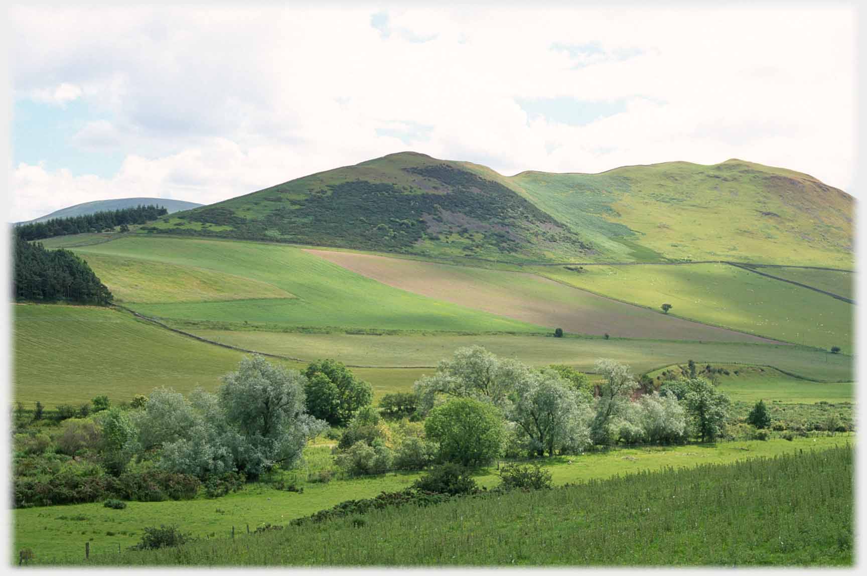 The wooded Bowmont Water in spring, and to the west...
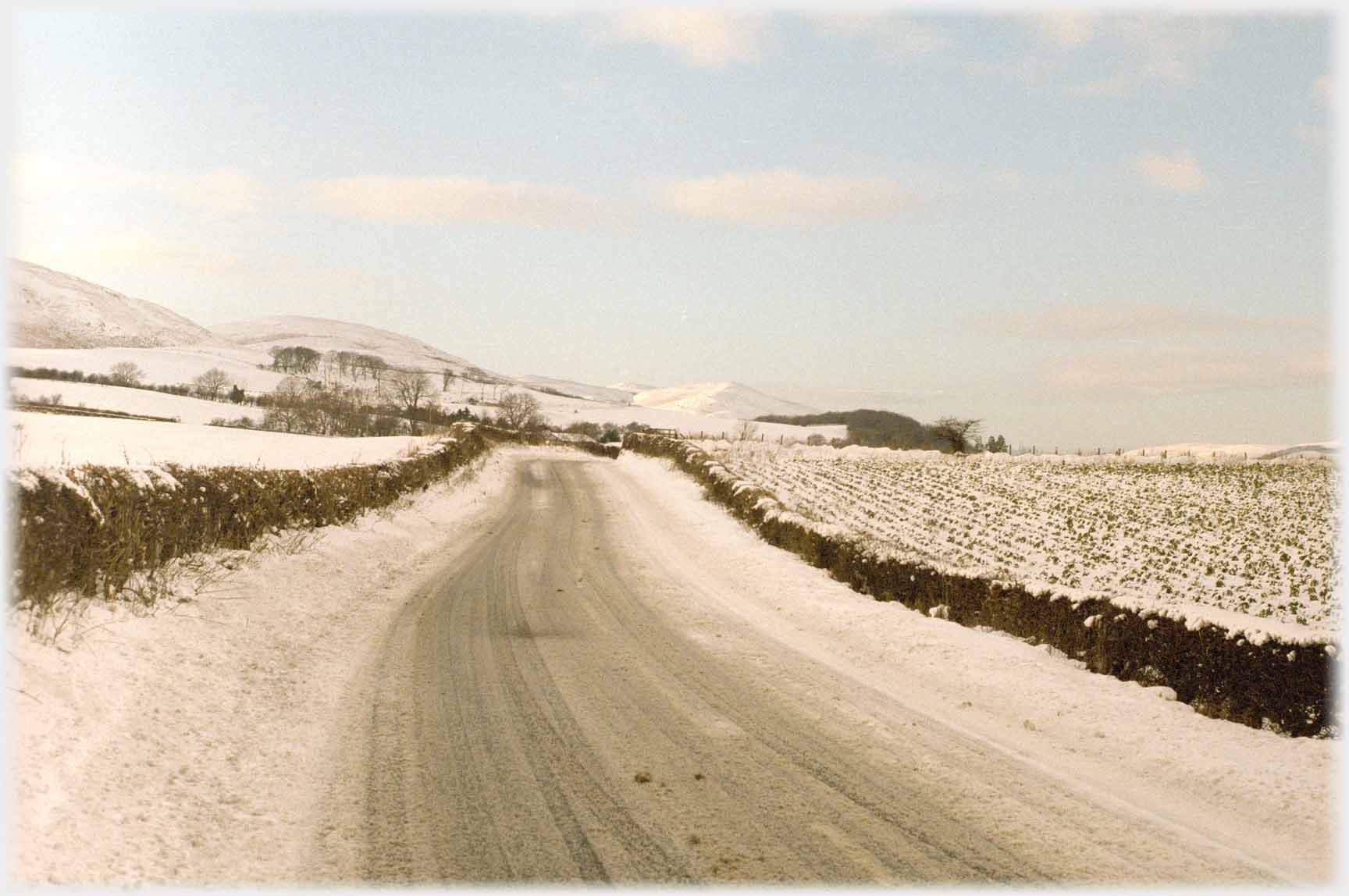 ...the next valley is Hownam, in winter
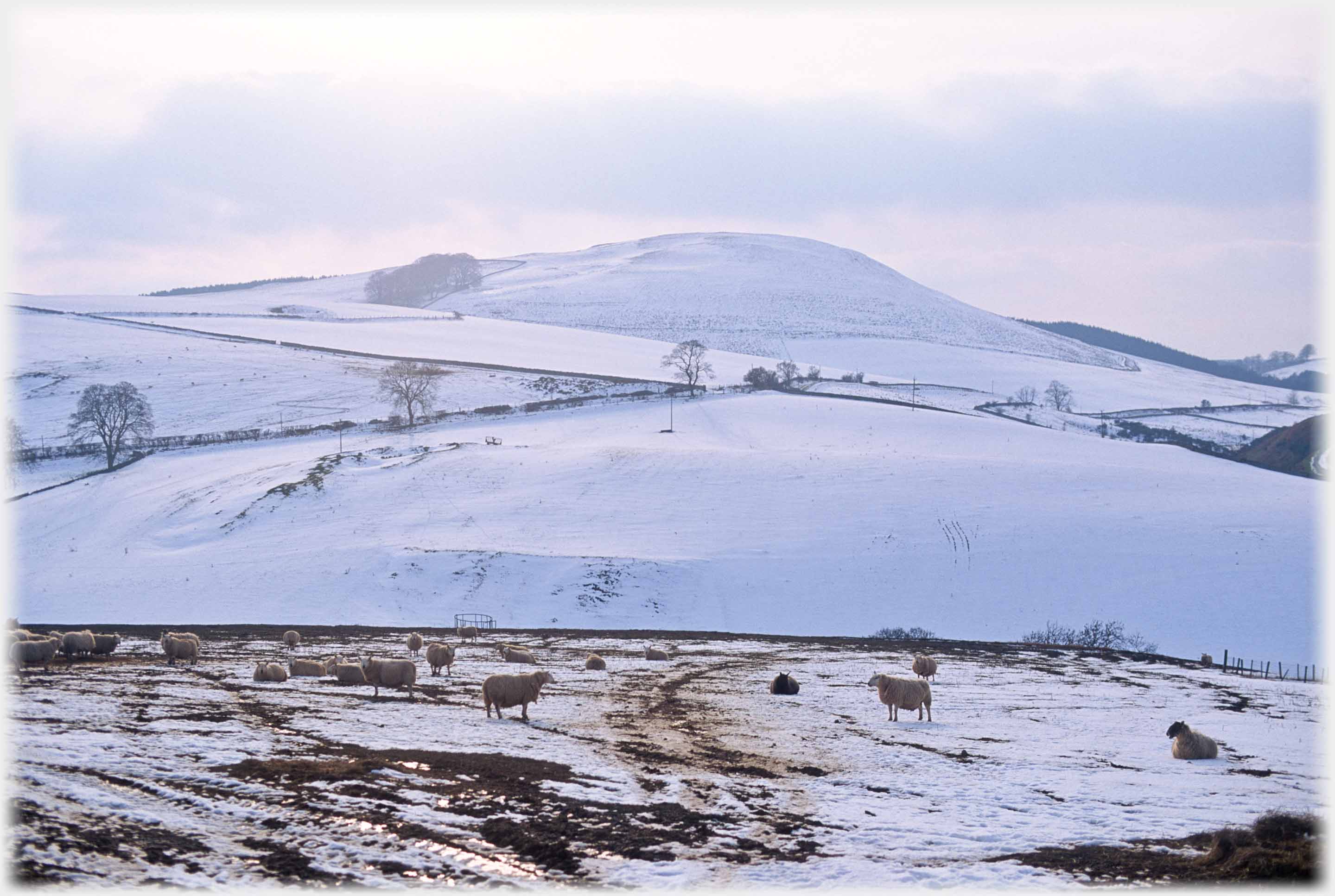 Dusk coming to the Hownam Valley
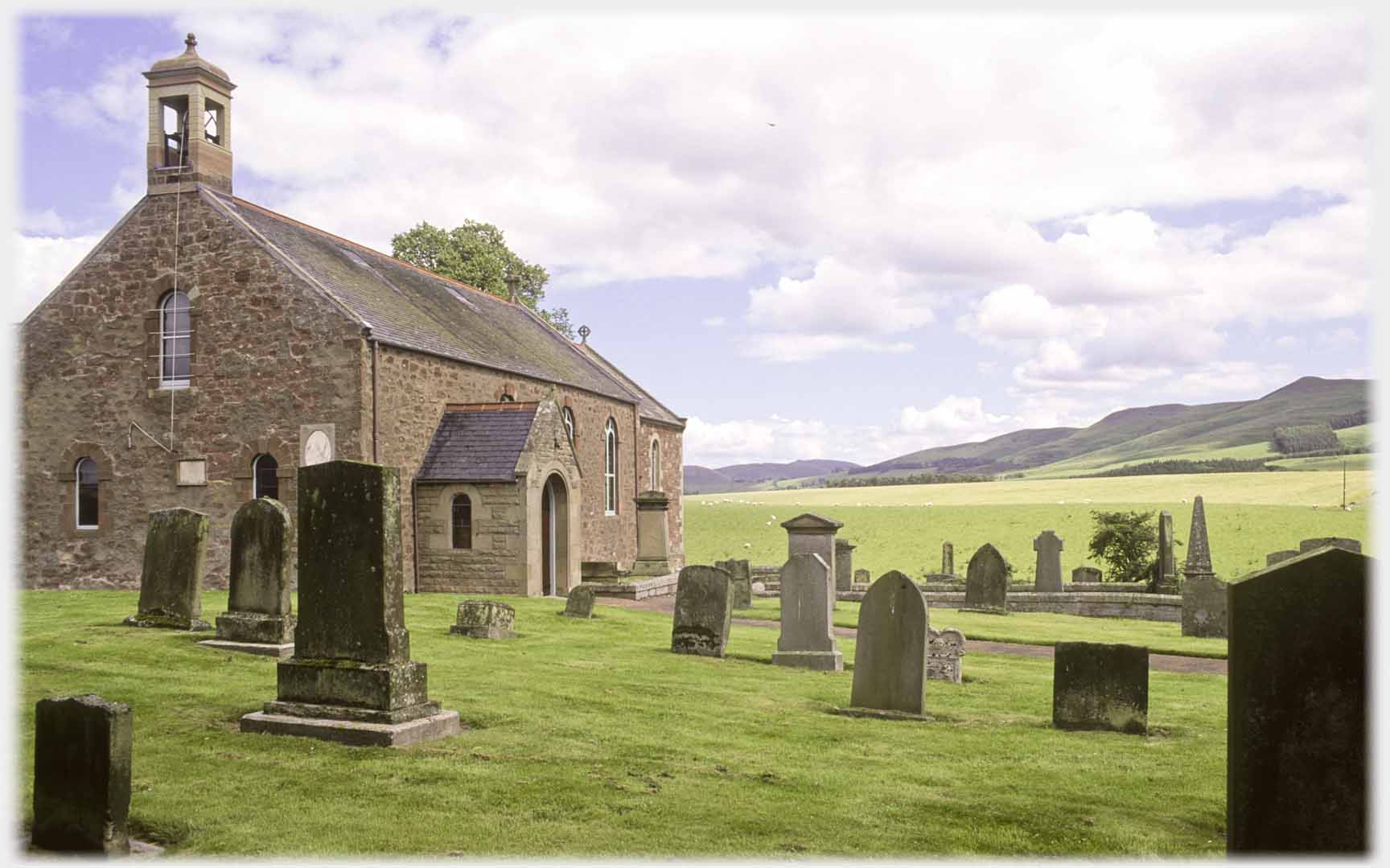 Between Yetholm and Hownam the...
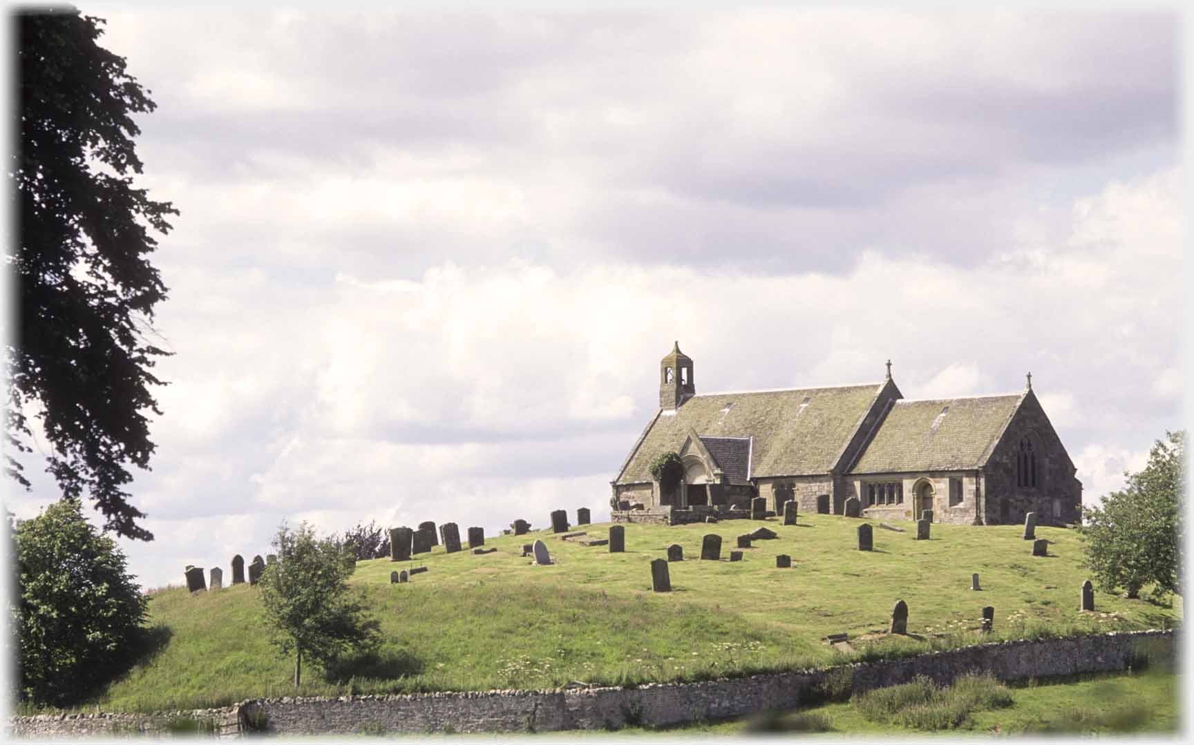 ...church of Linton sits on its small hill
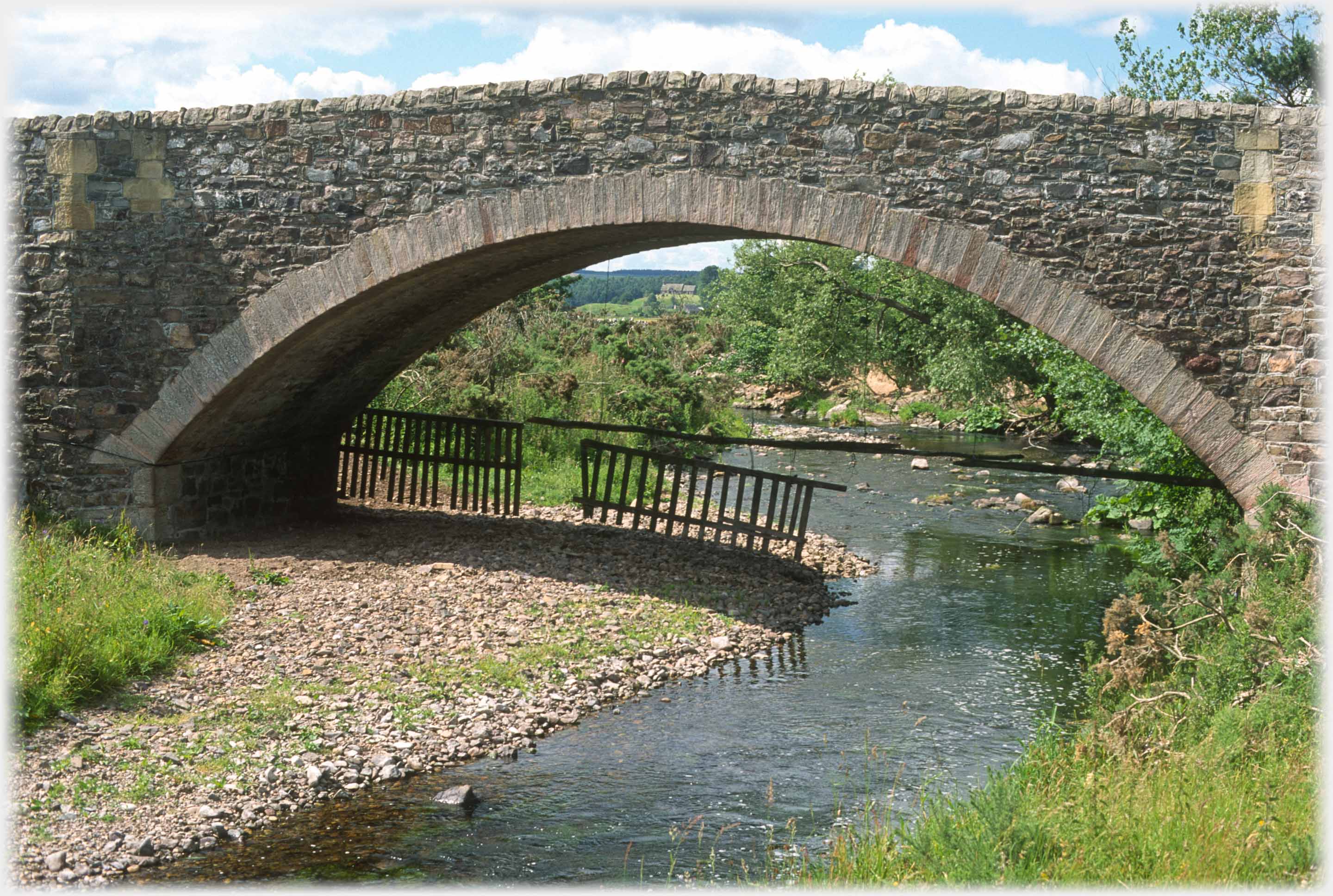 Kale Water bridge is beside the village of Morebattle. Through its arch, at the centre top,
Linton Church is just perceptible
Trailers...
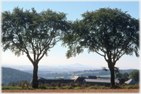 The next Picture Posting page is to take you closer to Ruber's Law, by Hawick, distantly framed in this photo.
 The next page
of the Mosaic Section is headed 'Metabolic Rift'.
Or go to the contents Go to the contents of the Mosaic Section. of the Mosaic Section.

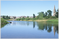 The last page of this section had photos from Kelso and Coldstream
 A page of photographs from rural Iceland
 ...guide to this site